0730 of march with 0430 of ascent. Check the weather forecast before setting off.
Pack your rucksack with cereal bars, plenty of water, sunglasses, sun cream, a small first-aid kit and the right clothes for your outing, depending on the season and the weather forecast. Always ask mountain professionals for advice.
- Sport
Foot path "Le Mont Vorès"
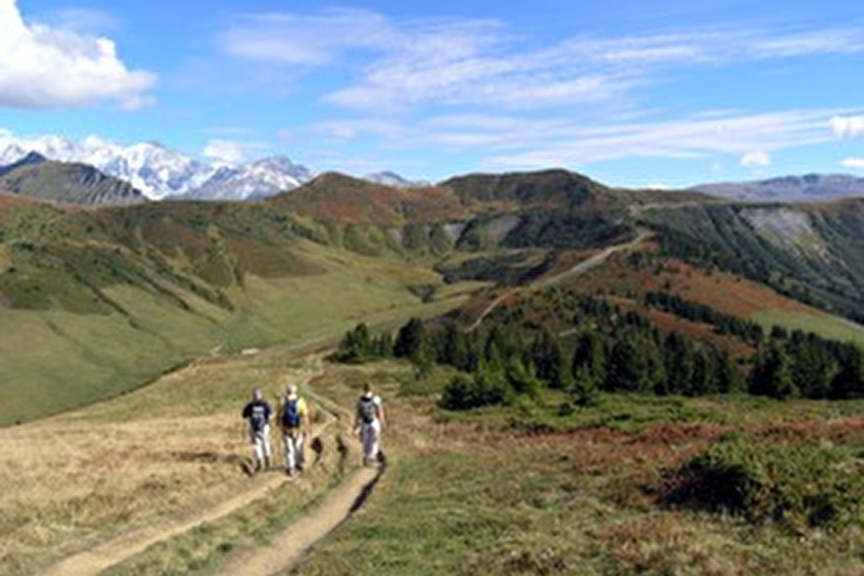
This place is representative of the mountain pastures of the Beaufortain massif. The route allows to make three mountains of Praz on Arly Crêt du Midi, Ban Rouge, Mont de Vorès.
Sport Foot path "Le Mont Vorès" Praz-sur-Arly
About

Signs
Trail marked with yellow signs indicating the name of the route and the remaining time.
Topoguides references
Itinerary referenced in the topo guide "Hiking trails in the Pays du Mont - Blanc" sold with the map - 6€ at the tourist office.
You can do the hike in 2 steps, spending the night at the refuge of the "petit tétras"
Reception
Period of practice
From 01/06 to 31/10 : open daily.
Services
- Pets welcome