4:00 of which 2:15 of ascent
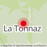
Departure from the Tonnaz car park, or from the village but allow 1 hour more. 4 h 50 including 3 h 00 ascent. Check the weather forecast before setting off.
Fill your rucksack with cereal bars, plenty of water, sunglasses, sun cream, a small first-aid kit and the right clothes for your hike, depending on the season and the weather forecast. Always seek the advice of mountain professionals.
- Sport
Marcheurs confirmés "le Gateau"
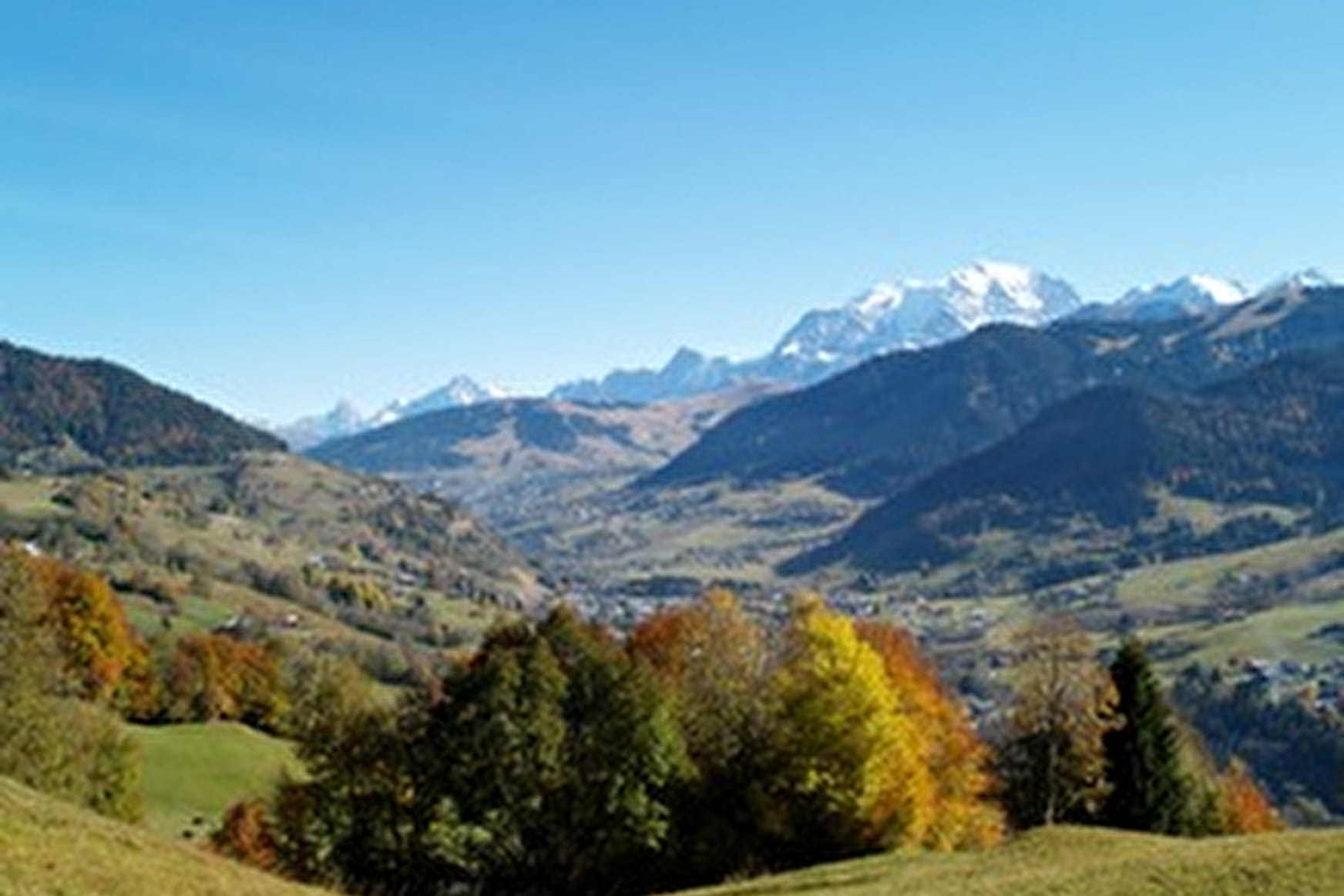
No doubt this lovely mountain got its name from its layered-cake appearance. It overlooks Flumet and has a magnificent view of the Val d'Arly. The itinerary passes by the Bonne Fontaine chapel where the Virgin Mary is supposed to have appeared...
Sport Marcheurs confirmés "le Gateau" Praz-sur-Arly
About

Signs
Marked trails start from the yellow signs indicating the name of the route and the remaining time.
Map references
Map of hiking trails in the Pays du Mont Blanc - Belvédère du Mont Blanc , for sale €6 at the tourist office
Further informations
Ground
Reception
Period of practice
From 15/06 to 15/11.
Services
- Pets welcome