Trailhead: Col des Annes Pass.
Starting elevation: 1721m
Maximum elevation: 2164m
Roundtrip out and back.
Difficulty: difficult
- Sport
Hike to the Pointe-Percée Hut
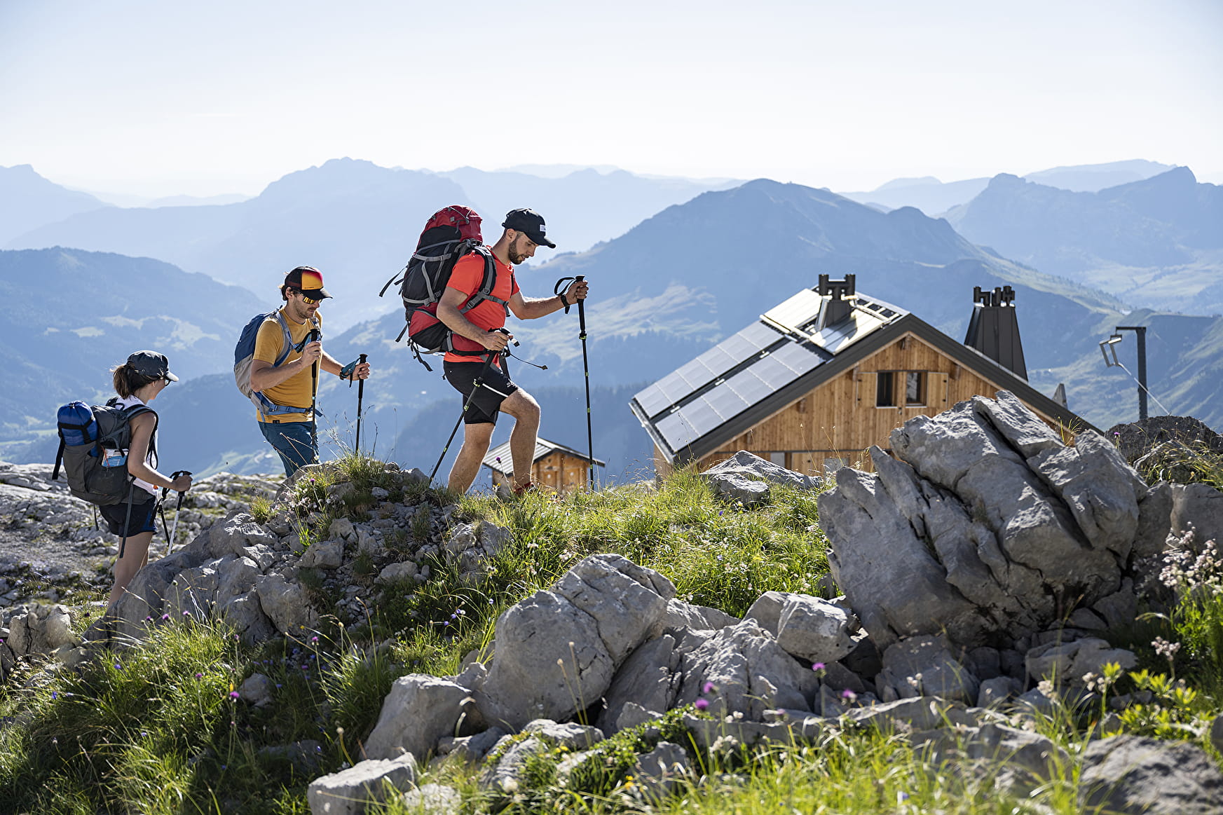
The Gramusset Hut is located right beneath the Point Percée, the high point of the Aravis Mountains (2750m). Start from Col des Annes Pass, which is surrounded by alpine pastures and is the birthplace of the area's famous farmhouse Reblochon cheese.
Sport Hike to the Pointe-Percée Hut Le Grand-Bornand
About

Difficult passages
A tricky section equipped with chains just before the Col de l'Oulettaz.
Map references
IGN Top 25 map no. 3430 ET La Clusaz Grand-Bornand
Topoguides references
Map of Tournette / Bornes / Aravis hiking routes.
1 4


Prices
Free
Reception
Adopt a natural attitude throughout your walk:
Before setting off:
-Find out about the weather conditions. In the mountains, the weather changes quickly, so be prepared for heat, rain, wind and fatigue,
- Don't forget to take water with you,
- tell someone about the route you are taking.
During your hike :
-respect the paths, do not cut outside them,
- do not frighten livestock, do not cut wires and close fences,
- Observe wildlife from a distance,
- Nature is not a dustbin, so keep your rubbish and dispose of it in the containers provided in the villages,
- don't overestimate your abilities, some routes require good physical and technical skills.
On your return :
- Keep hydrated,
- Let us know if you have any comments.
Dogs must be kept on a lead due to the presence of herds.
Period of practice
From spring to fall, depending on snow conditions; you are responsible for your own safety. Look online or call for information on conditions.
Services
- Pets welcome
Contacts
Access
Information available at the Tourism Office or refer to the maps and/or guidebooks to locate the various hikes.