Nant Agot was often a threat for its frequent floods. The facilities built by man have made it possible to contain the whims of the stream.
- Sport
La Glière footpath
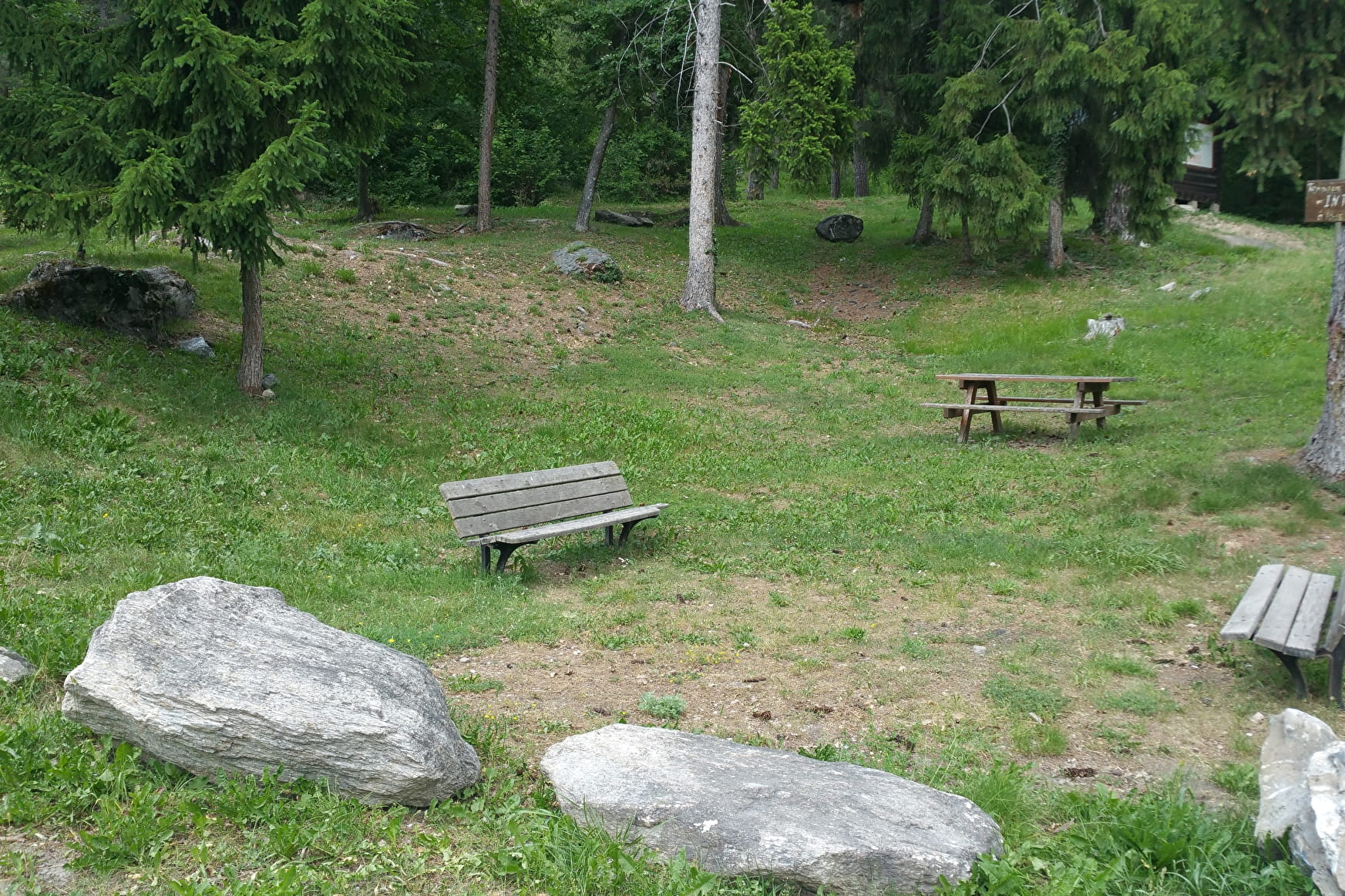
A walking path along a stream that has been developed to combat the floods that used to regularly threaten the village of Villette
Sport La Glière footpath Aime-la-Plagne
About

Further informations
Stone, Ground
0/ Start from La Glière car park
1/ At the bridge, cross Nant Agot and take the path on the right that climbs into the forest.
2/ Join the "balcony" path (signposted), then cross the stream on the right and follow the path down to a forest hut. Go past the oratory and join the road.
3/ Return to the starting point.
Prices
Free access.
Reception
FOR YOUR PLEASURE AND SAFETY
Safety rules
- Check the weather forecast before you leave.
- Avoid going alone. Let someone know that you are leaving and your planned route.
- Remember to drink, eat and take breaks throughout the hike.
Equipment
- Wear good shoes and suitable clothes for the mountains.
- Don't forget to take: sun cream, a hat/cap, sunglasses, warm clothes and rain wear, a mobile phone in case of problems.
- Take an IGN map with you. This map is given as an indication, it does not replace the IGN maps.
Best practices
- Stay on the marked paths and avoid the hayfields.
- Respect the environment.
- Watch out for animal herds, keep your dog on a lead.
- Take your rubbish away with you.
In case of accident: ring 112 or 18
Weather forecast: 32 50
Period of practice
From 01/01 to 31/12.
According to snow cover.
Services
- Pets welcome
- Picnic area