
From the cemetery car park in the Chef-Lieu, cross the bridge and then take the tarmac road upwards. Then continue straight ahead on a flat road until you reach a dirt track. Then follow the direction of La Thuile, passing the Planjo multi-purpose hall. When you reach La Thuile, take the path down to the right. Cross a bridge and continue on the path towards Villaroger. In Villaroger, go down along the departmental road to the Pont de l'Isère. Go up to the Villard. To avoid a return by the departmental road, you can take the Sainte Foy - Villaroger link path (N°26).
- Sport
Hiking trail : La Thuile - Sainte Foy - Villaroger
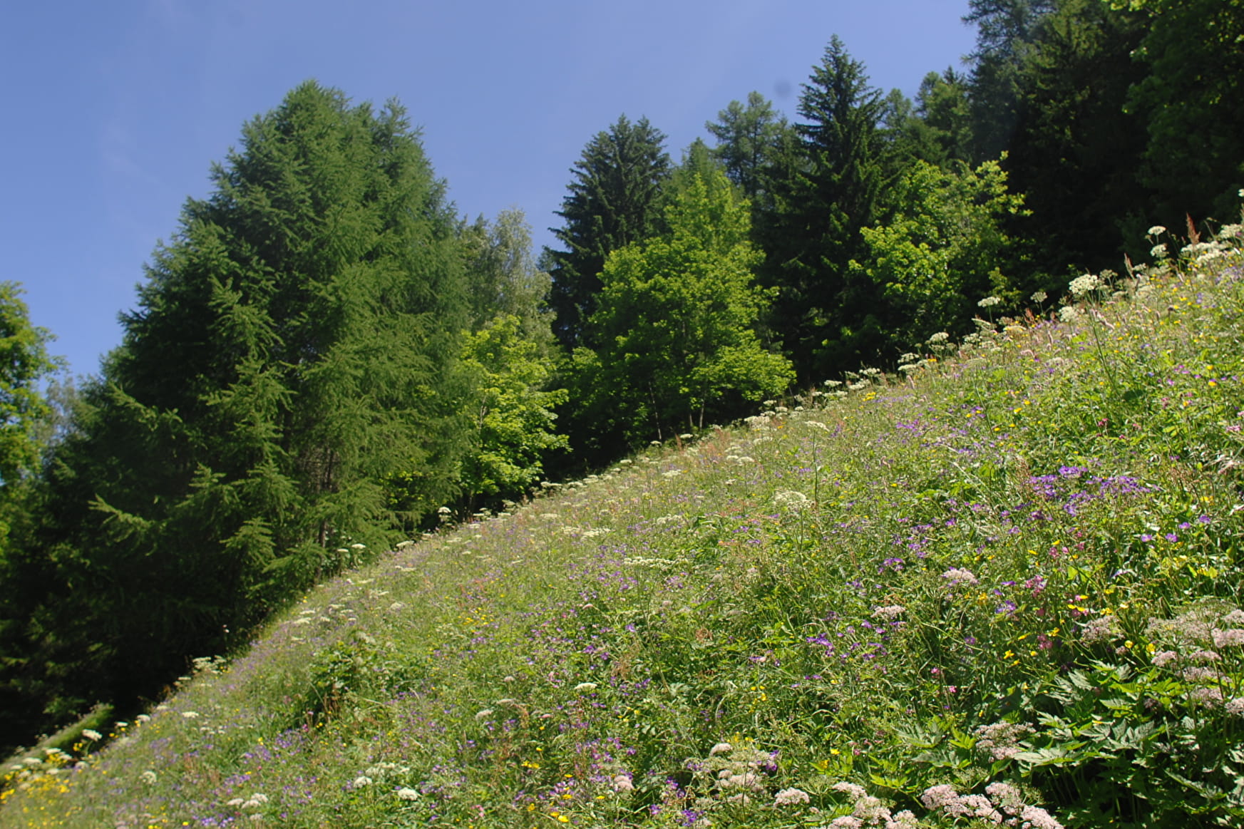
The Isère valley seen from below. A beautiful hike to do when the summits are in the clouds.
Map available in digital and paper version at the Tourist Office of the resort.
Sport Hiking trail : La Thuile - Sainte Foy - Villaroger Sainte-Foy-Tarentaise
About

Signs
Yellow markings
Prices
Free access.
Reception
Period of practice
From 01/04 to 30/11.
Subject to favorable snow and weather conditions.
Services
- Pets welcome
- Free car park
- Car park
Contacts
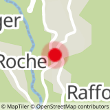
Access
Starting point from the Chef-Lieu of Sainte-Foy-Tarentaise, parking of the cemetery.