What to see / What to know
Ideal for families, you can stop off at the Cettier playground or take advantage of the lake to cool off on hot days (there's a snack bar open in summer).
- Sport
Les Resses d'en bas
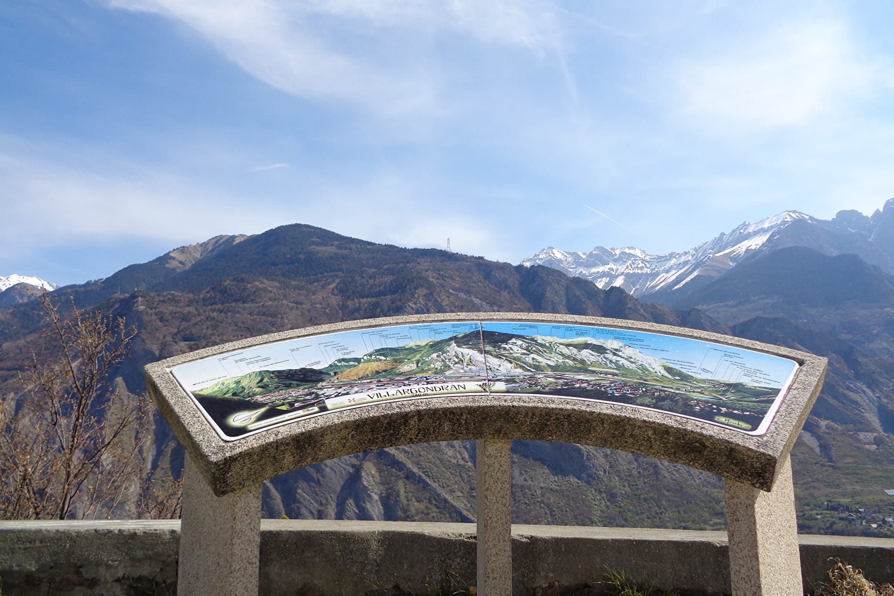
An ideal family loop starting from the Plan d'eau des Oudins, winding through forests and the village of Villargondran, facing Europe's largest limestone cliff: La Croix des Têtes.
Sport Les Resses d'en bas Villargondran
About

Topoguides references
Topo guide - Pays des Aiguilles d'Arves, walks and hikes Saint-Jean-de-Maurienne / La-Tour-en-Maurienne / Montvernier / Saint-Julien-Montdenis / Villargondran. 25 circuits for all levels. Produced by the SIVAV. 5 €.
Further informations
Ground, Grit
1 1

Start: Plan d'eau des Oudins.
1/ After the parking lot, opposite the snack bar, the road continues to the right, passing under a railway bridge. On the other side of the bridge, cross the road to continue straight ahead towards the house.
2/ Moulins: At the junction with the D81 road, continue straight ahead into the forest, taking the carriageway for about 150 m. You will then pass a soccer pitch.
3/ La Ravoire: Turn right to reach the Saint-Roch chapel at the fork in the forest. For around 850 m, walk along a shady path (this stretch is full of wild garlic in spring).
4/ À Gorgouille: On leaving the forest, take the road on the left towards the Rieubel bridge.
5/ Rieubel: Cross the bridge on your right towards the Saint-Roch chapel (visible from the sign).
6/ Chapelle Saint-Roch: To descend to Cettier park, continue on the path which forks right at the chapel (on the bend in the D80) and runs alongside the hedges of the houses (through the village allotments).
7/ Cettier: After crossing the Cettier park, you'll come to a small parking lot next to a traffic circle. At the sign, cross the road. Follow the plane tree avenue to the right at the traffic circle (1st exit).
8/ La Serradine: Just after the bridge, leave the D81 and turn left onto the road leading to the Oudins lake (approx. 700m on the road before the parking lot).
Prices
Free access.
Reception
Pets allowed on leash only.
Period of practice
All year round.
Subject to favorable weather.
Services
- Pets welcome
- Free car park
- Car park
- Public WC
Contacts
Access
- Not accessible in a wheelchair
