- Sport
Montée au Col du Chaussy
Sport Montée au Col du Chaussy Saint-Jean-de-Maurienne
About

Further informations
Ground, Hard coating (tar, cement, flooring), Grit
1 4


Prices
Free access.
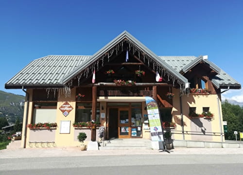
Reception
Period of practice
From 15/04 to 31/10.
Services
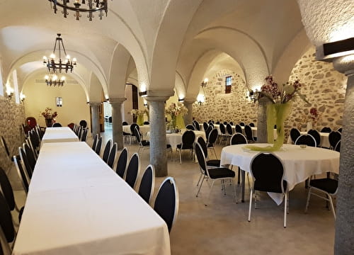
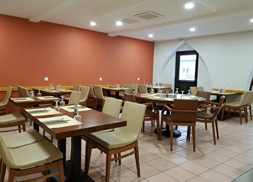
- Restaurant
- Takeaway/cooked dishes
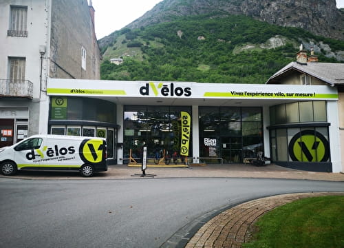
- Mountainbike hire
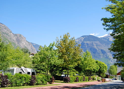
- Parking nearby
- Charging station for 2 electric wheels
- Public WC
- Charging stations for electric vehicles
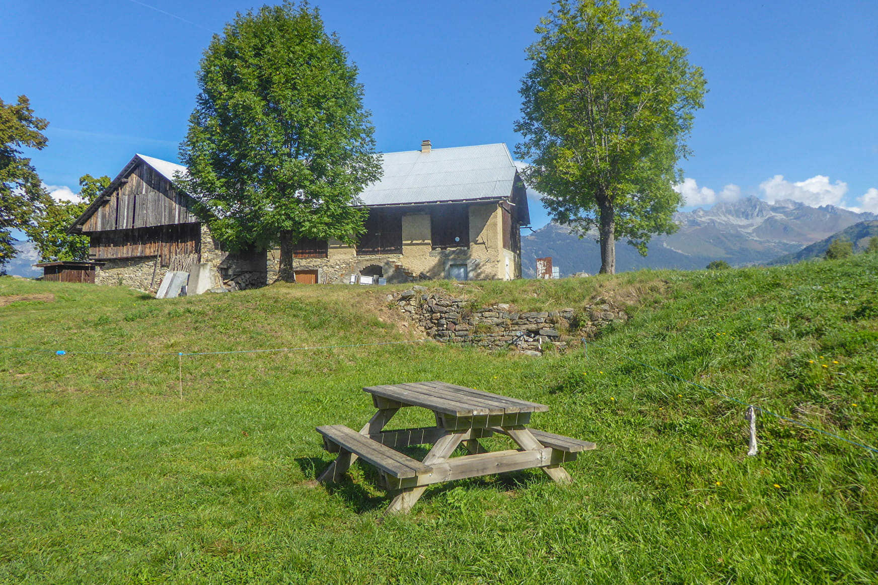
- Picnic area
- Orientation board