From the Valmeinier car park (1800 m), continue along the track at the exit of the village until the sign indicating the start of the GR de pays du Tour du Mont Thabor (1867 m).
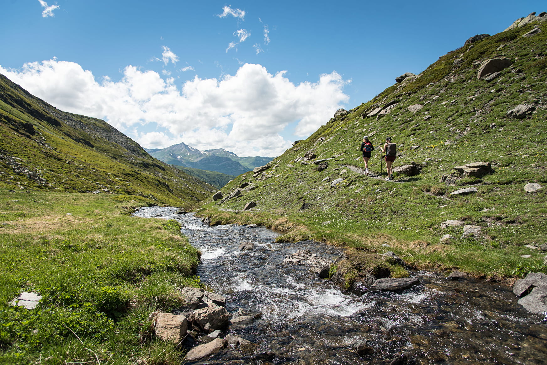
Follow the entire GR, which gradually climbs, cutting across several ski slopes, and then follows the Ruisseau du Col des Marches.
At the junction with the itinerary that goes to the right towards the Lac de Roche Noire (2560 m), continue on the GR to easily reach the Col des Marches (2725 m) marked with a cross.
From the pass, follow the path on the left through a boulder area to the top of the Pointe de la Sandonière (2925 m).
Beautiful views of the Lac de Bissorte, Roche Noire, Mont Thabor, Petit and Grand Fourchon. Further on, the Vanoise, the Aiguilles d'Arves, the Grand Galibier.
- Sport
Pointe de la Sandonière
Hike to the Col des Marches and the Pointe de la Sandonière which offers beautiful views.
About

Prices
Free of charge.
Reception
Period of practice
From 15/05 to 15/10.
Subject to snow conditions.
Subject to favorable weather.
Contacts
Access
From Saint-Michel-de-Maurienne, drive up to the resort of Valmeinier 1800 and park at the last car park.