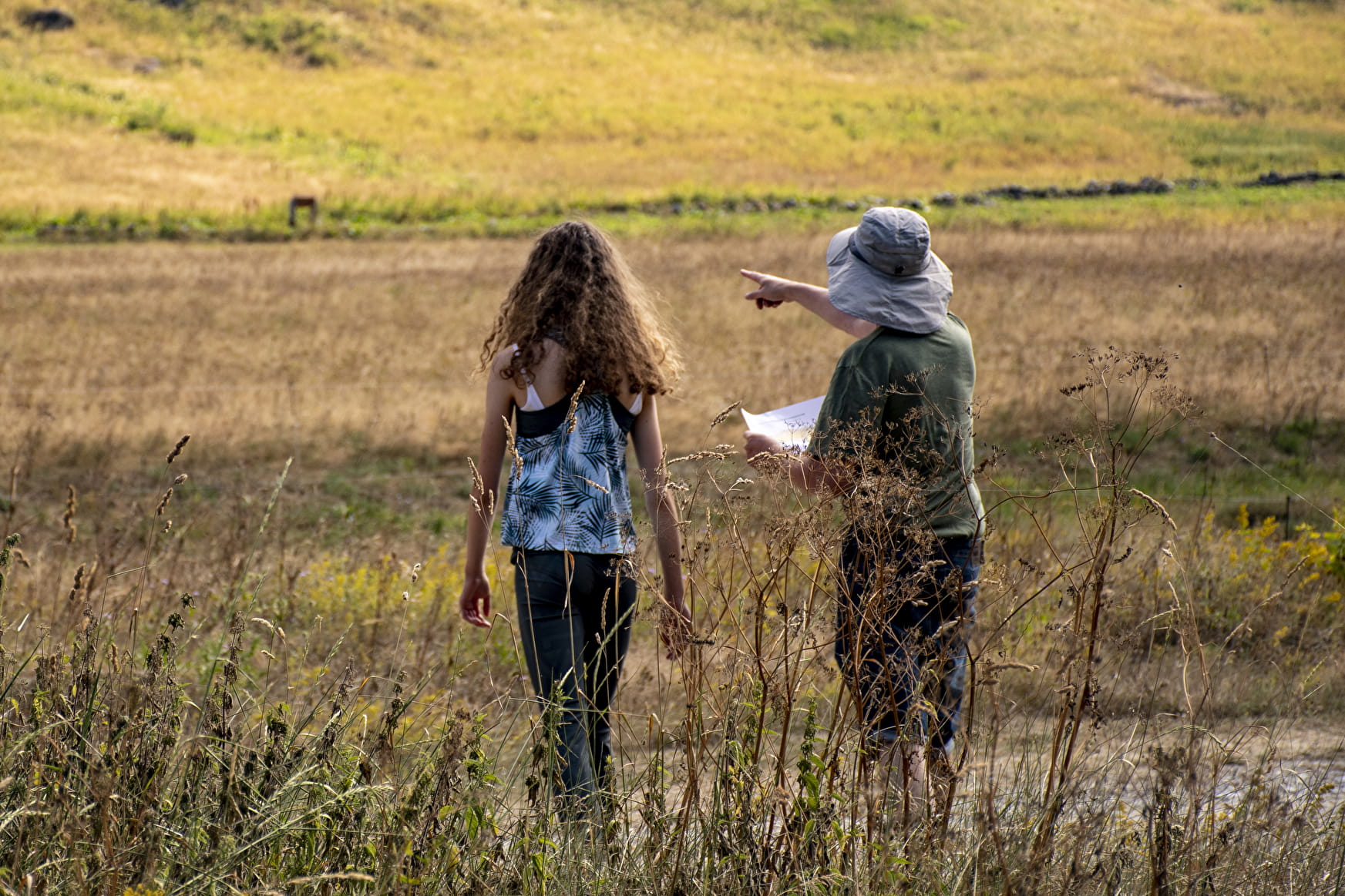
Using the legend and symbols on the map, orient yourself and find your position and the route you need to take to find the markers in the proposed order.
The starting point is represented by a triangle (Nordic ski chalet) and each marker by a circle with its number. In the centre of each circle is a characteristic feature of the terrain (intersection, corner fence, tree, etc.) on which the marker is located. Sometimes you have to go off the beaten track a little to find the marker.
On each beacon, the code number will allow you to check your location. Punch your card in the corresponding box.
Once you have completed the route, come and check your punches at the Tourist Office and win goodies!
The colour of the course does not indicate its difficulty.
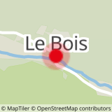
Green route: Le Bois
- 6 markers to find
- 2 km
Blue route: La Chiserette
- 9 markers to find (5 with the shortcut)
- 5 km (or 2.5km for the shortcut)
Recommendations :
- Do not cross private property, hay meadows or herds
- Be aware of other hikers, bikers, cyclists, runners...
- Pick up your rubbish, do not leave anything on site
You evolve on this space and this orientation course under your own responsibility.
PRACTICAL :
At the starting point: car park and public toilet.
- Sport
Orienteering course : discovery
Welcome to the summer orienteering course in Champagny le Haut, on the theme of discovery and heritage!
Choose your route (blue or green), and with the orientation map, find the markers in the order suggested.
About
1 2


Prices
Free access.
Reception
Period of practice
From 24/04 to 10/12.
Not accessible once the Nordic area is open.
Subject to favorable weather.
Services
- Pets welcome
- Car park
- Public WC
Contacts
Access

- Accessible for wheelchairs with assistance
- Accessible for self-propelled wheelchairs
Motor Disability

