It is a pre-alpine massif which is bounded by the Lake Annecy to the north, the Combe de Savoie to the east, Chambéry to the south and the ills of the Albanais to the west. It is surrounded by a rampart of cliffs that dominate the surrounding plains. The villages have kept their rural character; the solide stone houses have four-sided roofs with large overhanging eaves that enable the occupant to work and go about their business under shelter.
- Park
Bauges Natural Regional Park
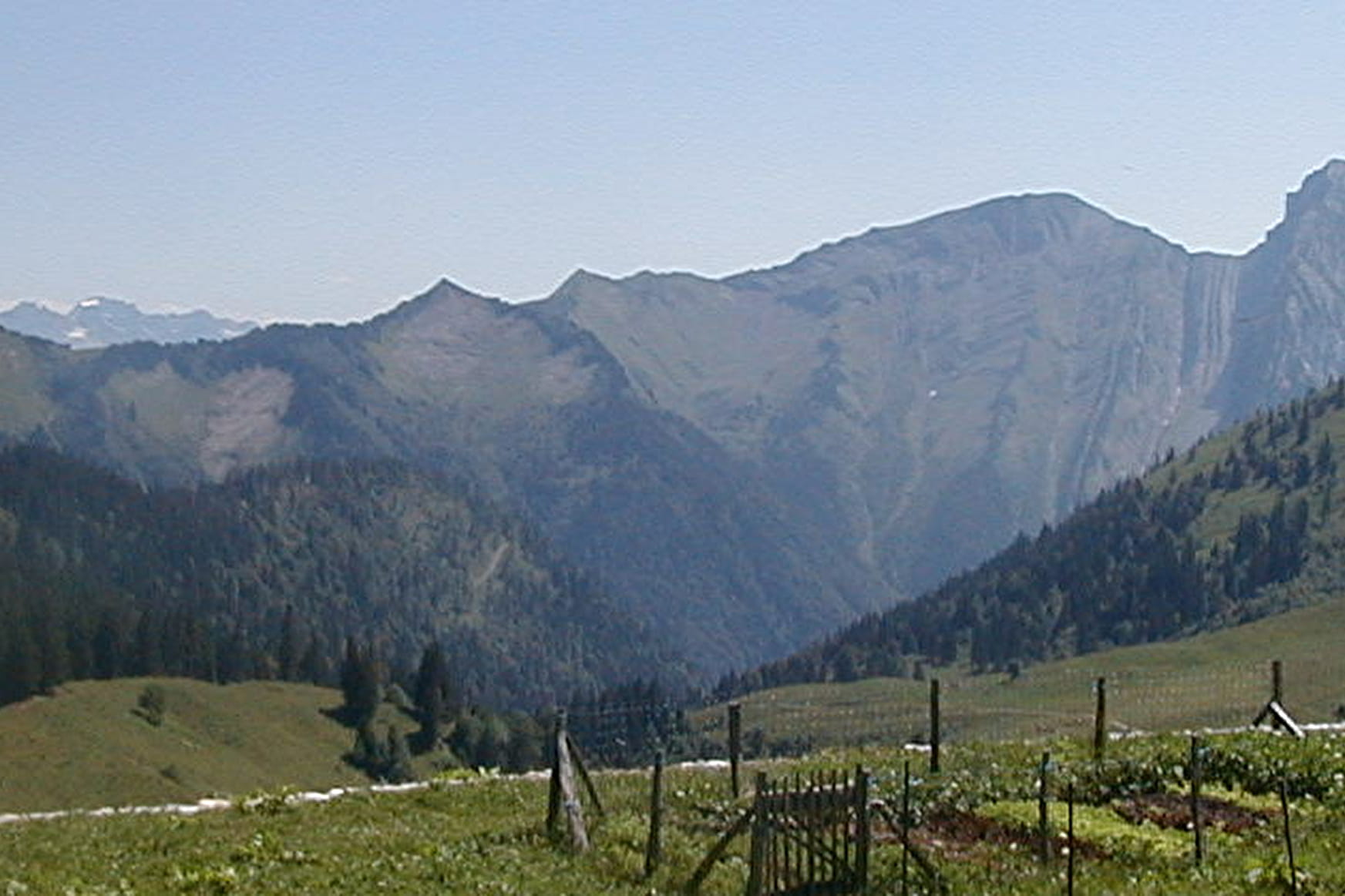
The Park, founded in 1995 covers an area of 200,000 acres and encompasses 58 communes.It lies at an altitude of 985-7200 feet and is accessible from Aix les Bains, Albertville, Annecy and Chambéry.
