Step-by-step guide : From the Cross to the Maladière cliff: 40 minutes. Climb the carriage path. It is steep for a few meters. Cross the mountain pastures of Chevran from below and from above. Continue straight ahead to the viewpoint at the edge of the cliff. Variant: go to the Chevran panorama (15 min one way) to admire the view of the Arve Valley From the Maladière cliff to the intersection of the motorable path: 1h20 Continue your way taking the direction of "La Dent", while enjoying the viewpoints. You will find the educational trail with information terminals. A specific theme is developed at each station. All you have to do is follow the markings (small stakes with red arrows). In places you will have a handrail to hold on to, but there is no difficulty. To do more from Cluses: Le Tour du Chevran (for good walkers, steep passages): 2h50 (one way). Starting point: boulevard du Chevran – Cluses.
- Sport
Chevran "panorama" - Hike
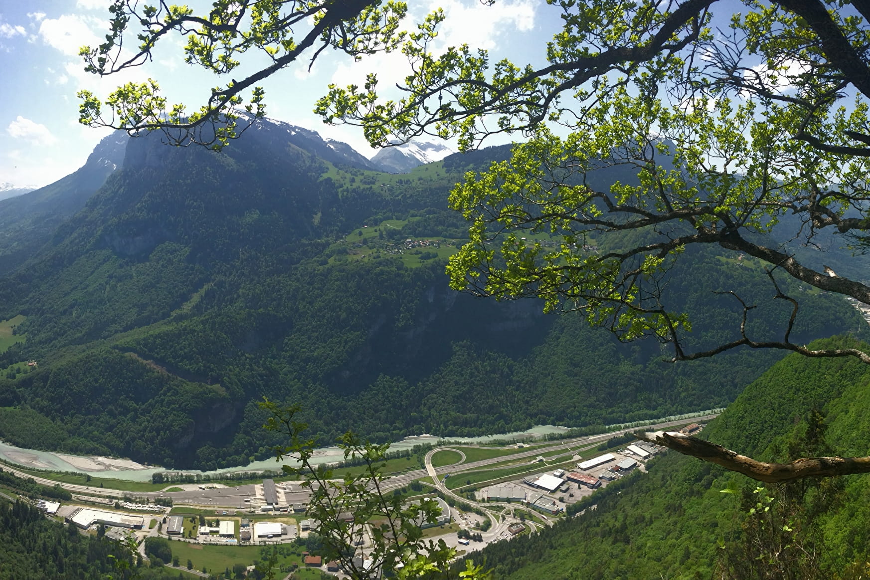
The Chevran mountain offers lovely views of the Arve valley and the surrounding mountains. A path, easy to access and without difficulty, takes you through mountain pastures and forests before arriving at the exceptional panorama.
About

Signs
Red Arrow
Further informations
Grit, Ground


The loop is dotted with information terminals on the geology, the habitat, the varied flora and fauna at this location, sometimes even surprising (lime, umbrella pine, etc.)
Prices
Free access.
Reception
Keep your dog on a leash, he can scare off herds and wild animals.
Period of practice
From 01/04 to 15/11.
Depending on weather conditions.
Subject to favorable weather.
- Pets welcome
Contacts
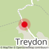
Access
From Cluses, take the D902, direction Châtillon-sur-Cluses. At the roundabout, take the D6 to the right in the direction of Carroz, Flaine, Saint-Sigismond. Cross Saint-Sigismond and travel for about 2 kilometers. Park in the car park on your right called the Croix Verte.

