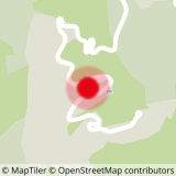
Departure and arrival at Valmobranche level.
This trail loop of approximately 3 km is suitable for land and fractional work. Indeed, its modest size makes it possible to make this loop several times by integrating qualitative work making it possible to develop its maximum aerobic and ascending speed as soon as the slope stiffens.
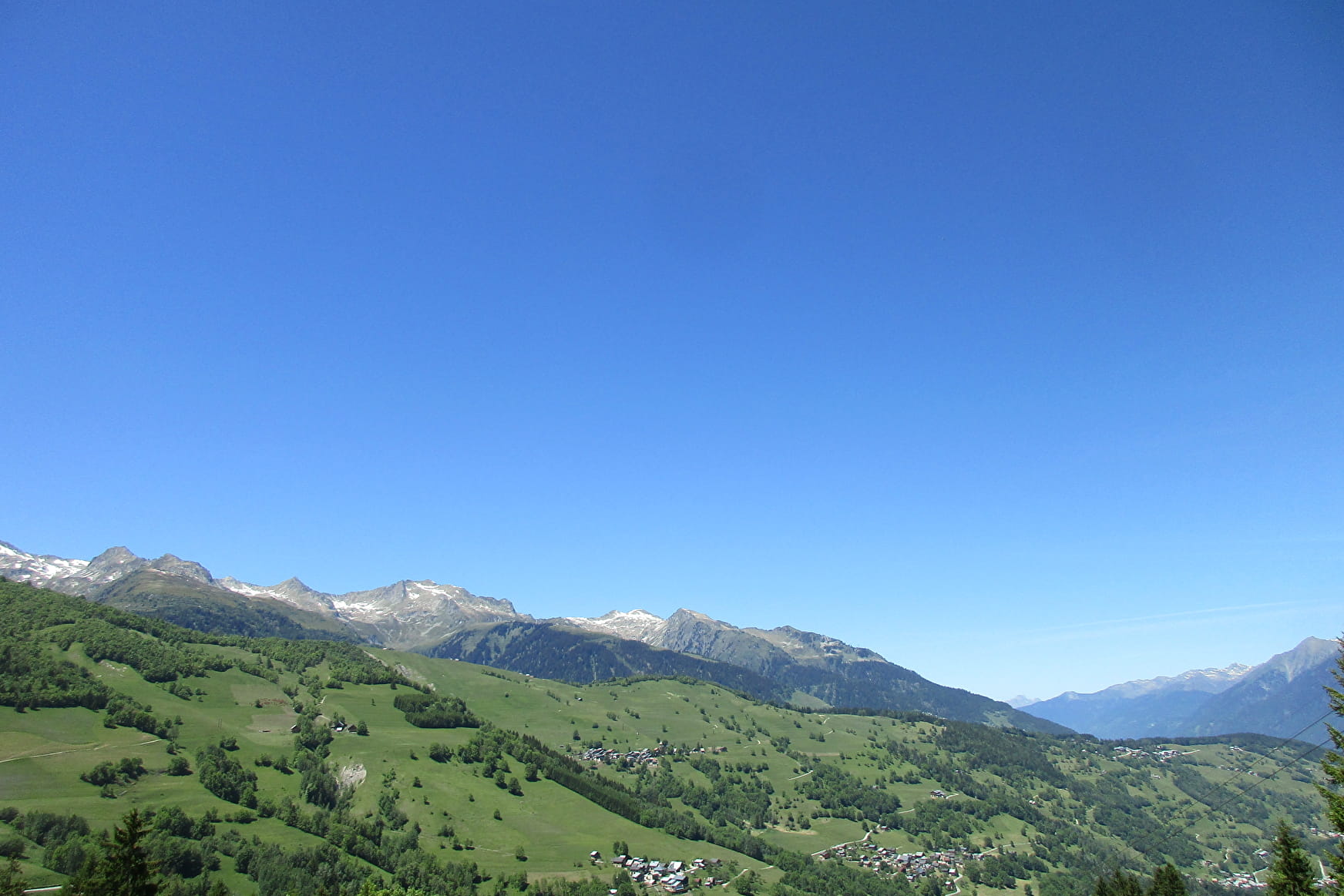
It is suitable for beginners who want to learn trail running and for trained people who want to work their maximum aerobic volume (VMA). In addition, it is located in an exceptional setting to discover various landscapes surrounding Valmorel. The route takes a few pieces of road but the majority of the hike takes place in the forest and in the meadows.
Panoramic view of the Pointe du Niélard, Crève Tête as well as the Lauzière peaks.
Environment: forest, meadow
Points of interest: panoramas on the summits of Crève-Tête, Niélard and the La Lauzière massif, pastoral setting, herds
Difficulty: no technical difficulty
Total distance: 2.7 km
Elevation + total: 175 m
Estimated time :
- 6km / h: 27 min
- 8km / h: 20 min
- 10km / h: 16min
- Sport
La Fuly - B24
Short and easy family course which allows the discovery of the pastoral environment of Valmorel.
Sport La Fuly - B24 Valmorel
About

1 10


Prices
Free access.
Reception
Period of practice
From 01/06 to 31/10.
Services
- Pets welcome


