Although this tour lasts an estimated 3 to 4 hours, we recommend you bring a picnic lunch so you can enjoy the lakes all day.
Technical point: there are some slippery stones on the 4x4 track.
Average physical difficulty due to its length and difference in altitude, the outward journey is all uphill.
To activate geolocation, click on the map icon.
- Sport
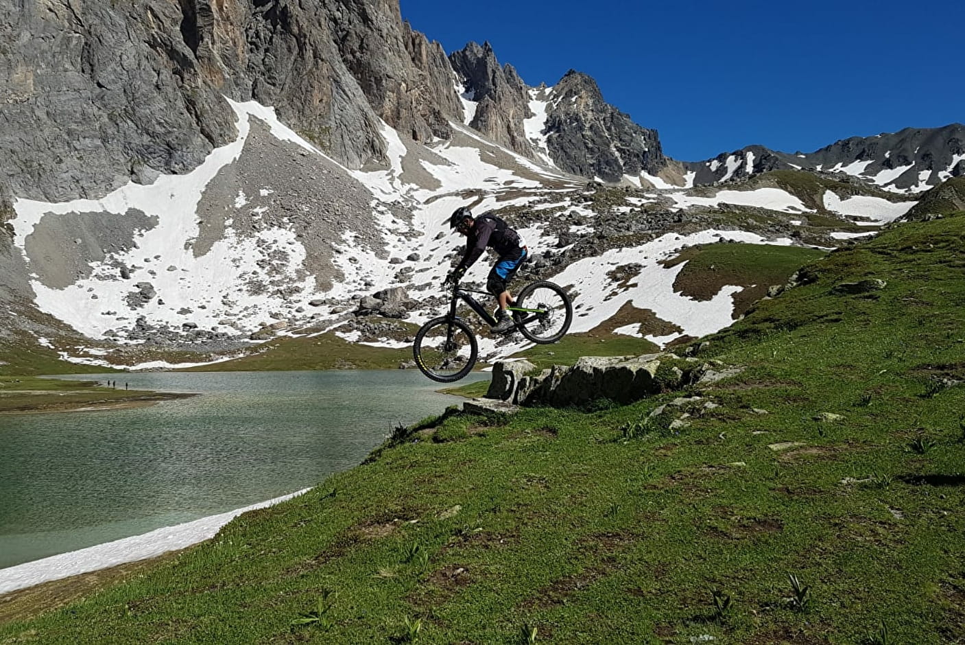
7 - The 3 lakes - VTTAE itinerary
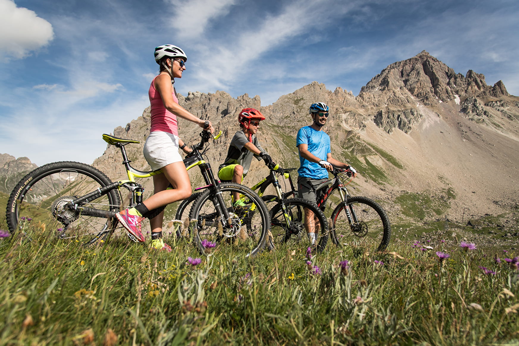
A must-do walk in Valloire! This intermediate-level trail will take you over the Lac du Grand Ban, through the Col and the Rochilles military camp. Admire these three natural high-altitude lakes and the breathtaking scenery!
Sport 7 - The 3 lakes - VTTAE itinerary Valloire
About

Signs
The trail is marked with signs.
Map references
The VTTAE route map can be consulted at the tourist office. IGN map 3435ET VALLOIRE - Aiguilles d'Arves / Col du Galibier is on sale in Valloire shops.
Topoguides references
Valloire hiking and mountain biking map.
Further informations
Stone, Ground, Hard coating (tar, cement, flooring), Grit
1 2


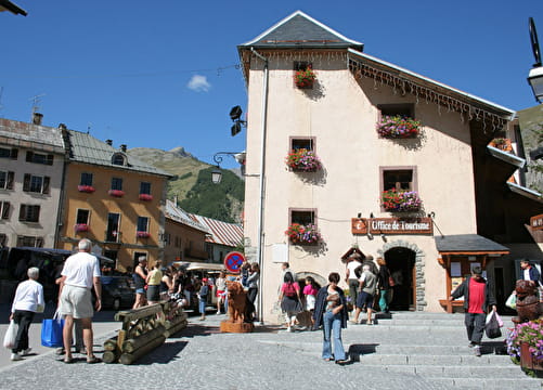
Departure - From the tourist office, head up Rue des Grandes Alpes towards the hamlet of Les Verneys 1 - Once you've crossed the bridge, walk along the parking lot to take the footbridge on the left of the main road to the "Vitta Vittel" fitness trail 2 - At the equestrian center, continue straight ahead to pass the Les Verneys chairlift 3 - Continue straight ahead on the path and then the D902 road along the river towards Col du Galibier and Plan Lachat. At Ferme des Etroits, take the route through the hamlet of Bonnenuit. 4 - At Plan Lachat, follow the 4X4 track up to Lac du Grand Ban, passing the military camp and Col des Rochilles. 5 - Follow the trail on your left to discover the next two lakes. 6 - Easy option: return along the same route. Difficult option: descent via the combe de l'Aiguille Noire (see black route no. 9).
Precautions:
- The routes you take are your own responsibility. You must choose a route adapted to your physical and technical capacity. If in doubt, do not hesitate to contact mountain professionals.
- Find out about the weather conditions before your departure.
- Be properly equipped to practice hiking in complete safety and deal with the vagaries of the weather.
Tell someone if you are leaving alone and prefer a morning departure so as not to be surprised by the night.
Prices
Free access.
Reception
To keep the mountains a pleasure, choose an activity suited to your level of experience and physical ability. Check the weather forecast and seek advice from qualified professionals, and inform someone of your itinerary. Make sure you're properly equipped: helmets are compulsory, and we strongly advise you to wear kneepads, elbow pads, back protection and gloves. In your rucksack, take a water bottle and snacks to keep your energy levels up, and a survival blanket or warm clothing. Protect yourself from the sun with sunscreen and sunglasses. Don't forget binoculars to add a touch of observation to your adventure.
For your dog's safety, we do not recommend mountain biking.
Period of practice
From 29/05 to 23/10.
Subject to favorable weather.
Services
- Restaurant
- Free car park
- Car park
- Picnic area