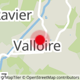
To activate geolocation, click on the map icon.
- Sport
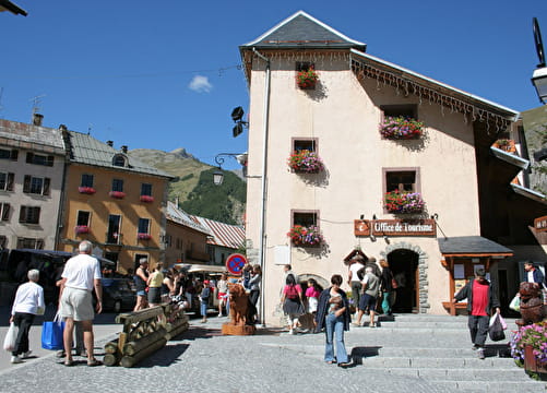
3 - La Combe de l'Aiguille Noire - VTTAE Itinerary
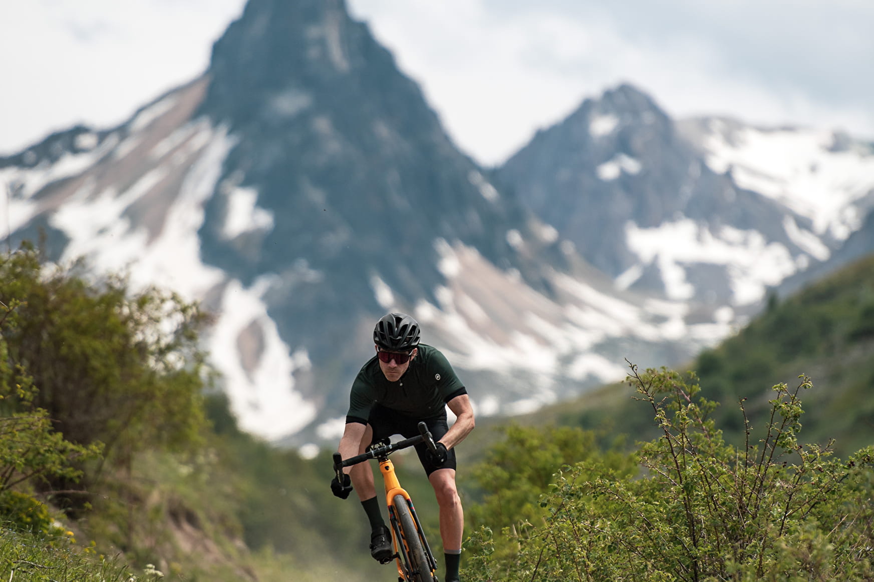
This intermediate-level route, mainly in the Alpine pastures, offers superb views of the surrounding mountains. At Diseurs, take a break to admire the Aiguille Noire.
Estimated duration: 2h to 3h
Sport 3 - La Combe de l'Aiguille Noire - VTTAE Itinerary Valloire
About

Signs
The trail is marked with blue signs.
Map references
The VTTAE route map can be consulted at the tourist office. IGN map 3435ET VALLOIRE - Aiguilles d'Arves / Col du Galibier is on sale in Valloire shops.
Topoguides references
Valloire hiking and mountain biking map.
Further informations
Stone, Ground, Grit
1 3


Departure - From the tourist office, head up rue des Grandes Alpes towards the hamlet of Les Verneys 1 - Once you've crossed the bridge, walk along the parking lot to take the footbridge on the left of the main road to follow the "Vitta Vittel" fitness trail 2 - Once you're in front of the equestrian center, follow the wide dirt path to the right of the building. After a short climb, you'll see the Chapelle Saint Pierre. 3- Continue uphill until you pass the sheepfold, then continue on the 4x4 track until you reach the junction with the Selles track. 4 - Go slightly up the Selles track to take the single on your left through the alpine chalets. 5 - At the pate d'oie, fork left (avoid the Geneuil chapel) to descend towards l'Archaz. Watch out for pedestrians towards l'Archaz. 6 - You'll arrive in the center of Valloire via le Pontet.
Prices
Free access.
Reception
To keep the mountains a pleasure, choose an activity suited to your level of experience and physical ability. Check the weather forecast and seek advice from qualified professionals, and inform someone of your itinerary. Make sure you're properly equipped: helmets are compulsory, and we strongly advise you to wear kneepads, elbow pads, back protection and gloves. In your rucksack, take a water bottle and snacks to keep your energy levels up, and a survival blanket or warm clothing. Protect yourself from the sun with sunscreen and sunglasses. Don't forget binoculars to add a touch of observation to your adventure.
For your dog's safety, we do not recommend mountain biking.
Period of practice
From 24/04 to 23/10.
Subject to favorable weather.
Equipments
- Free car park
- Car park
- Picnic area