The Col du Télégraphe is usually climbed before the Col du Galibier. Nevertheless, it can be used as a training run before tackling the slopes of the legendary Galibier.
It has been climbed 34 times by Tour de France riders since 1947.
The road is in excellent condition, but is nevertheless very busy.
- Sport
Cycling up Col du Télégraphe
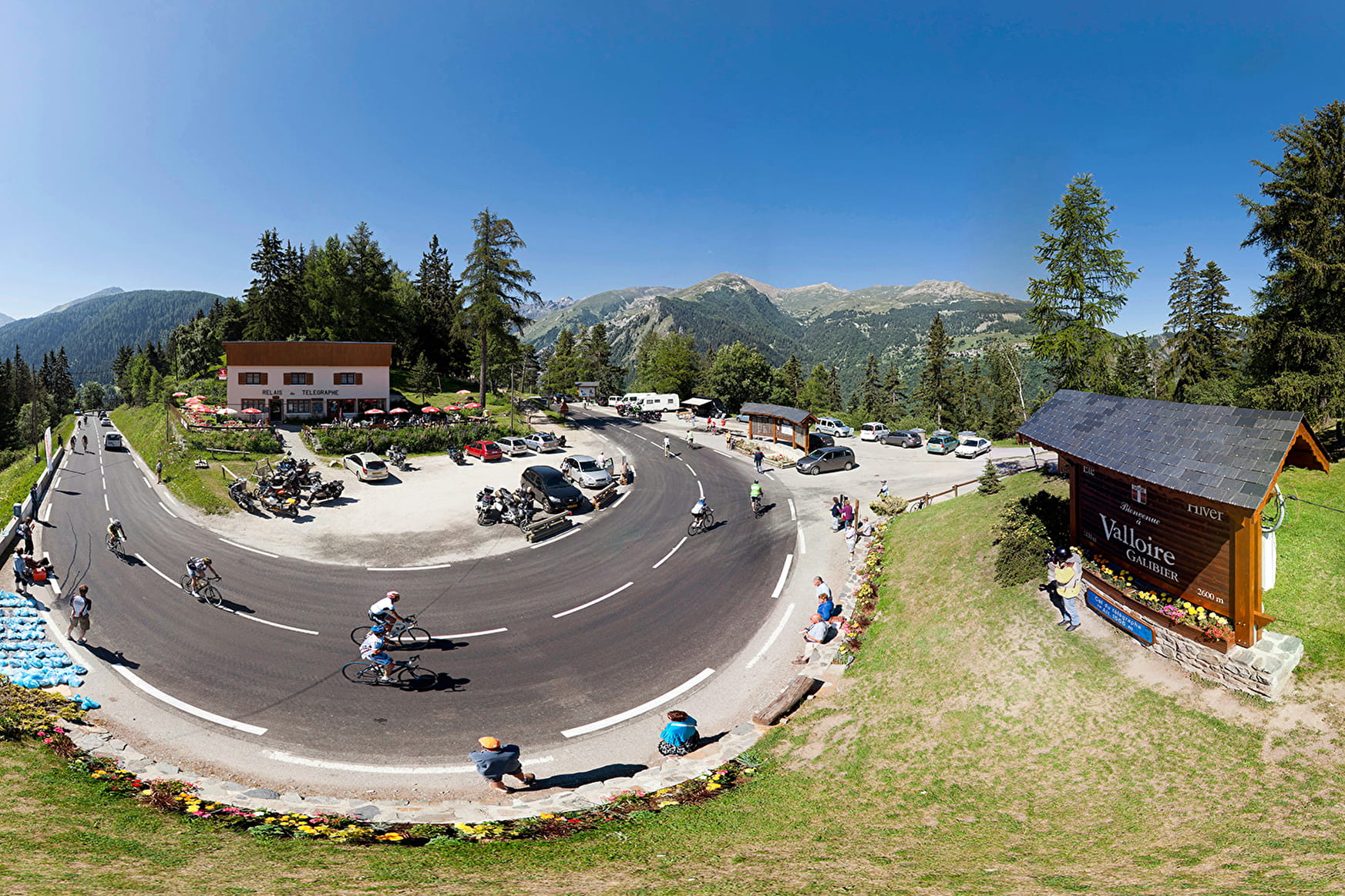
Most of this climb is in the cool shade of the trees. The gradient eases slightly after the first few kilometres but the slope remains quite steep all the way to the pass and its superb view of the Fort du Télégraphe.

Sport Cycling up Col du Télégraphe Saint-Michel-de-Maurienne
About

Signs
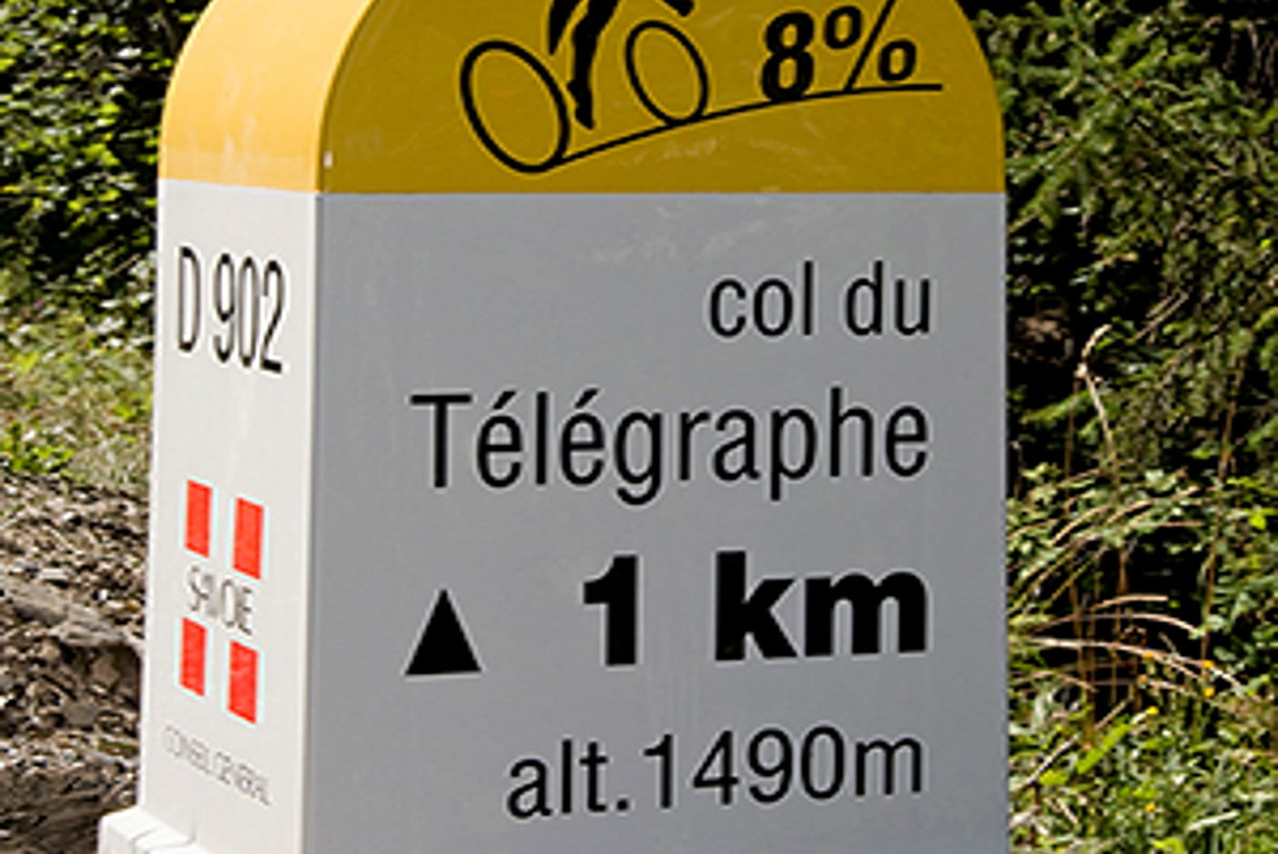
Climb equipped with mile markers indicating percentage of slope, altitude and distance to summit.
Map references
Savoie Mont Blanc cycling map available from the tourist office.
1 1

Prices
Free access.
Reception
Period of practice
From 01/03 to 30/11.
Depending on the weather.