Distance: 6.2km
Duration: 1 hour
Difference in altitude: +100m
Altitude at departure: 1080m
Map reference: IGN TOP 25 - 3428 ET Map
Difficulty: leisurely
Signage: Wood panels
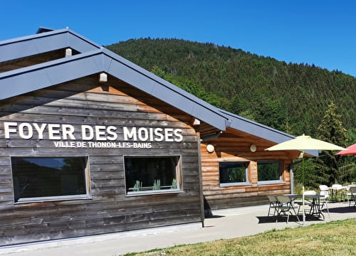
Take the Col de Cou departmental road for 200m then turn right. The path runs along the gliding piste, crosses the Plateau then twists and turns back down to the Forêt des Allinges. Venture into the forest and go back up to the Col des Moises departmental road. Cross the road and take the skid slope running behind a little chalet. Go through the forest and go back up the Chatillonnet forest road. Then go back to Col des Moises and end at the Foyer de ski de fond.
- Sport
Les Moises Mountain Bike Trail
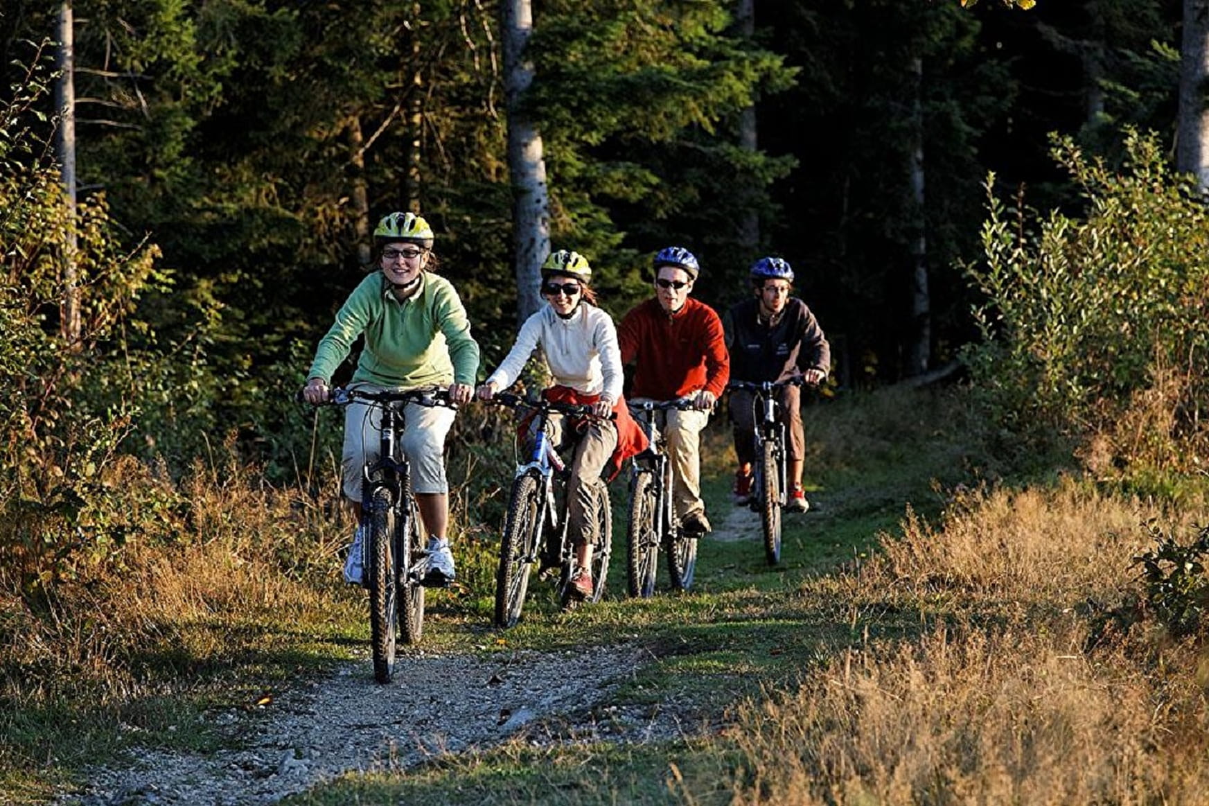
An easy ride on the Plateau des Moises where you'll see the stunning sights of Lac Léman and the Plateau's peatlands.
Sport Les Moises Mountain Bike Trail Habère-Poche
About

Further informations
Stone, Grit, Hard coating (tar, cement, flooring), Ground
Prices
Free of charge
Reception
Hike guide available to buy at Tourist Information with hiking and mountain biking trails.
Equipments
- Coach parking
- Car park