A word of advice: put your foot down to admire the view, as you'll need all your balance to negotiate the trail that follows. The end is quieter, and is done on a trail, which can be made more challenging if you go via the La Valdingue XC route (left bank of the Charmaix).
Why this name? We hope for your sake that the stones on the route won't throw you off your game.
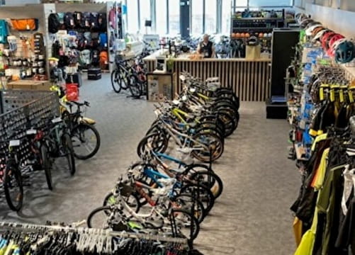
- Sport
Enduro : La déjantée
From the Arrondaz mountain pasture, the path quickly becomes narrow and technical. The view of the Thabor mountain pastures is simply magnificent.

Sport Enduro : La déjantée Valfréjus
About

Signs
French Cycling Federation markings (enduro)
Topoguides references
Haute Maurienne Vanoise mountain bike map and booklet sold in Tourist Offices.
1 1

Prices
Free entry but transport fee applies.
Reception
Period of practice
From 01/07 to 01/10.
Subject to favorable snow and weather conditions.
Services
- Pets welcome
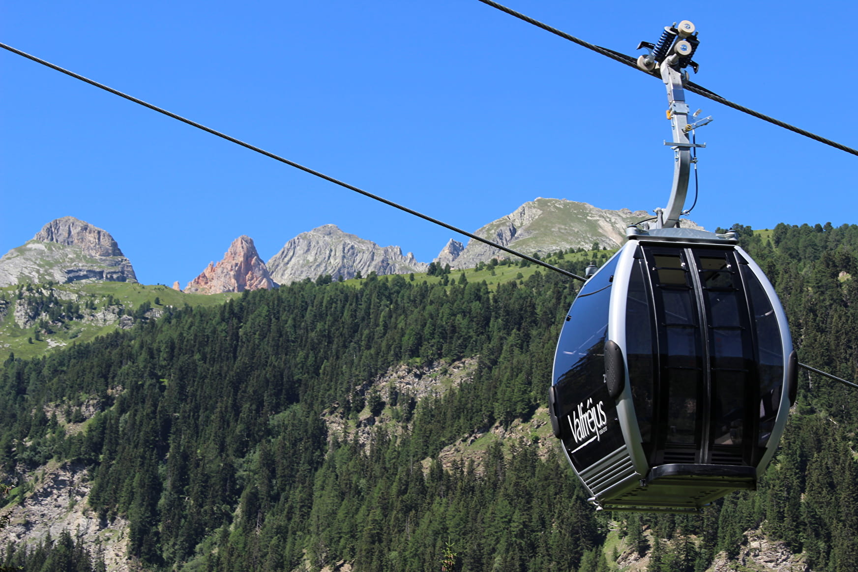
- Accessible via ski lift
- Parking nearby
- Charging stations for electric vehicles
Contacts
Access
Departure from the top of the Arrondaz gondola.
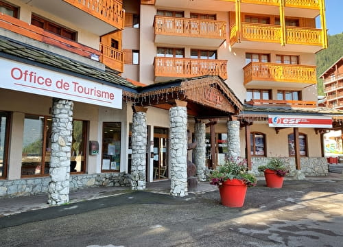
I'm going by car: park in the parking lot near the Valfréjus Tourist Office.
You can also take the enduro ascent to the starting point.