As in many mountain villages, some of Sardières' slopes are on the sunny side of the mountain while others are less well exposed.
This is an easy trail, from Sollières-Sardières to Termignon on a small section of the "Chemin du Petit Bonheur" track, returning via a small road.
- Sport
Cross-country : Le circuit des truites
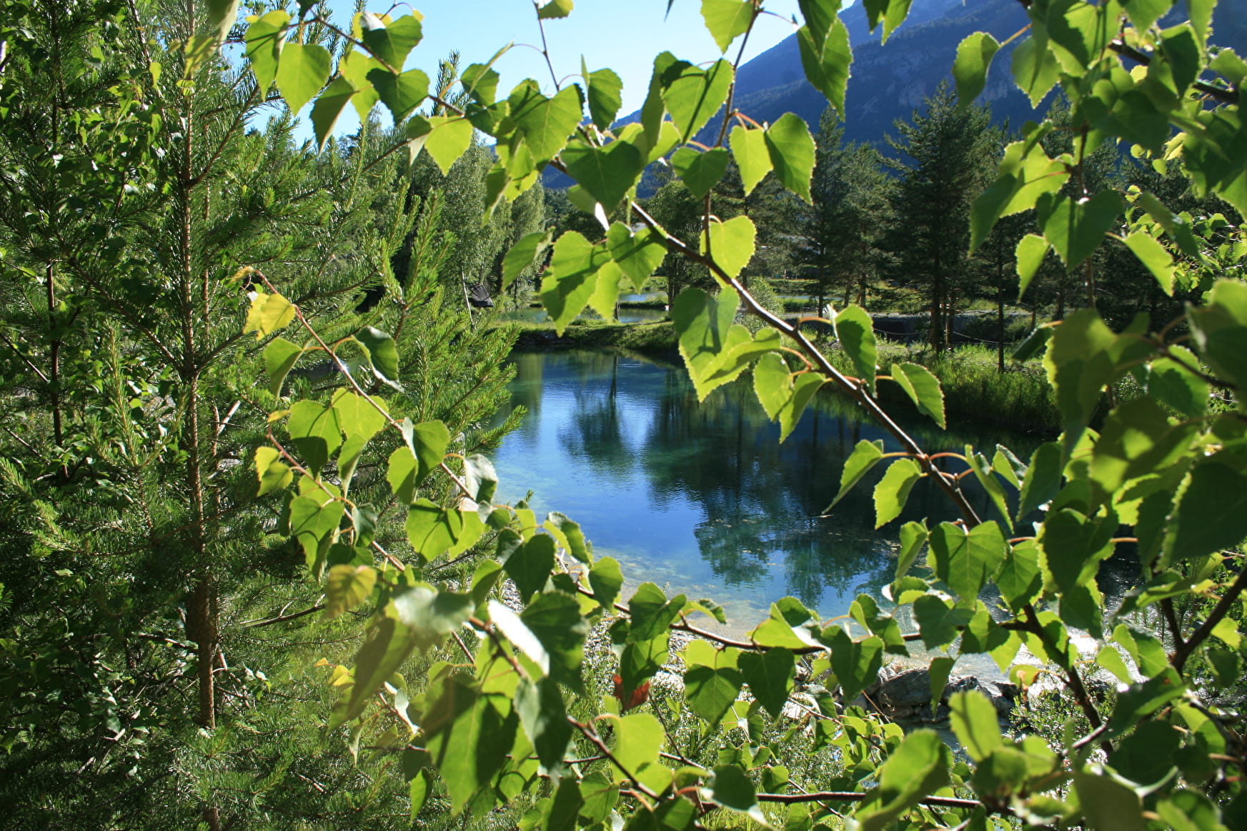
This short itinerary will delight beginners and families looking for an easy mountain-bike excursion.
Sport Cross-country : Le circuit des truites Val-Cenis
About

Signs
French Cycling Federation markings (cross-country)
Difficult passages
The entire route follows motorable tracks. Course on flats and false flats.
Topoguides references
Haute Maurienne Vanoise mountain bike map and booklet sold for €4 at Haute Maurienne Vanoise Tourist Offices.
Further informations
Stone, Ground, Grit
1 1

Prices
Free access.
Period of practice
From 01/05 to 01/11
Opening hours daily .
Subject to favorable snow and weather conditions.
Equipments
- Parking nearby
- Charging stations for electric vehicles
Contacts
Access
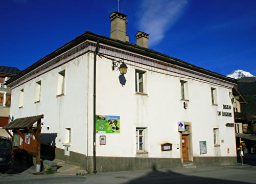
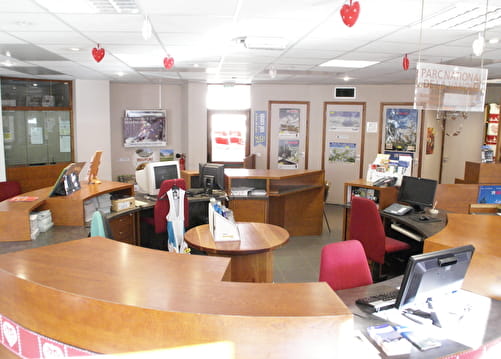
The start of this itinerary is at the Maison de la Vanoise.
I'll get there by bus: Line S52 or S53 - Maison de la Vanoise /Mairie stop (in summer, the bus is equipped with a bicycle trailer - ask about days and times).
By car: park in the parking lot near the Maison de la Vanoise.