An elevation gain of just under 200 metres to reach the summit of this itinerary which starts on a picturesque track. The only steep sections are on two bends below St Etienne Chapel. The return trip is via a track presenting no major difficulty. It is listed as a blue itinerary but is nevertheless an easy one and offers a lovely view over Lanslevillard village.
- Sport
Cross-country : Les Sarrazins
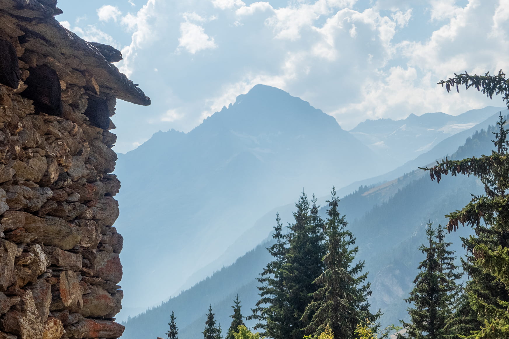
A lovely gentle itinerary above the resort on easy tracks offering beautiful views over the village.
Sport Cross-country : Les Sarrazins Val-Cenis
About

Signs
French Cycling Federation markings (cross-country)
Difficult passages
A rolling course on a passable track.
Topoguides references
Haute Maurienne Vanoise mountain bike map and booklet sold for €4 at Haute Maurienne Vanoise Tourist Offices.
Further informations
Stone, Ground, Grit
Prices
Free access.
Period of practice
From 01/05 to 01/11.
Subject to favorable snow and weather conditions.
Equipments
- Parking nearby
- Charging station for 2 electric wheels
- Charging stations for electric vehicles
Contacts
Access
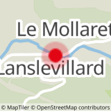
The route starts at the Lanslevillard Tourist Office.
I'm going by bus: line S53- Pont abribus stop (in summer, bus equipped with bike trailer - ask about days and times).
By car: park in the parking lot near the Lanslevillard tourist office. Electric vehicle charging station available.