The itinerary begins with a bit of plain pedaling from Mont Cenis Pass on a track which, fortunately, offers magnficent views! You can make it more interesting by taking the red variant. If, on the other hand, you depart from Termignon ski lifts, then no effort is required at all. At the Replat des Canons (when you reach the chairlift) you'll begin on a highly amusing section, before a gentle ride to Termignon along an easy track. Here again, you can opt for the red variant if you're still not satisfied!
The name comes from a local speciality - have you tried Termignon blue cheese?
- Sport
Enduro : Blue Cheese
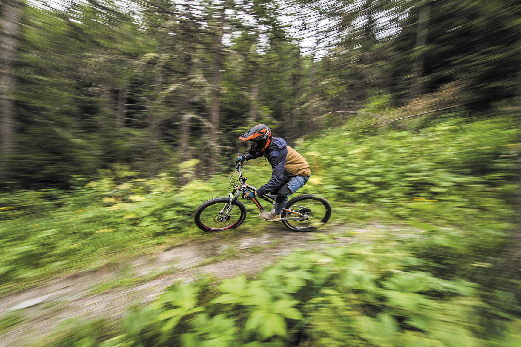
A fantastic berm section through well-lit forest, how tempting is that? This lovely enduro trail has the perfect combination of flat sections, fun features and those good old technical variants!

Sport Enduro : Blue Cheese Val-Cenis
About

Signs
French Cycling Federation markings (enduro)
Topoguides references
Haute Maurienne Vanoise mountain bike map and booklet sold in Tourist Offices.
Further informations
Stone, Grit, Ground
1 3


Prices
Free access.
Reception
Pets not allowed on the lift only.
Period of practice
From 15/06 to 01/10.
Subject to favorable snow and weather conditions.
Services
- Pets welcome
- Parking nearby
Contacts
Access
Start of the trail just below the Col du Mont-Cenis.
I go by car: park at the Gaec des 2 alpages (house with blue shutter) just before the Col du Mont-Cenis and take the track below the house.
In summer, you can take the ski lifts from :
- Val Cenis Lanslevillard: you'll then have to cross over on a flat, slightly downhill track for about 3.8 km, then head up the road towards the Col du Mont Cenis for 300m.
- Val Cenis Termignon: you'll have to cross over on a track about 5 km long in the direction of the Col du Mont Cenis; this adds 160 m of D- and 70 of D+.
It's possible to reach the starting point by enduro ascent.