What to see / What to know :
Breathtaking views of the Aiguilles d'Arves, the dominant summit of the Arves massif in southern Maurienne, on the border of the Savoie and Hautes-Alpes departments. They include the Aiguille Septentrionale (3,358 m), also known as the Tête de Chat, the Aiguille Centrale (3,513 m) and the Aiguille Méridionale (3,514 m).
- Sport
Les Ensens
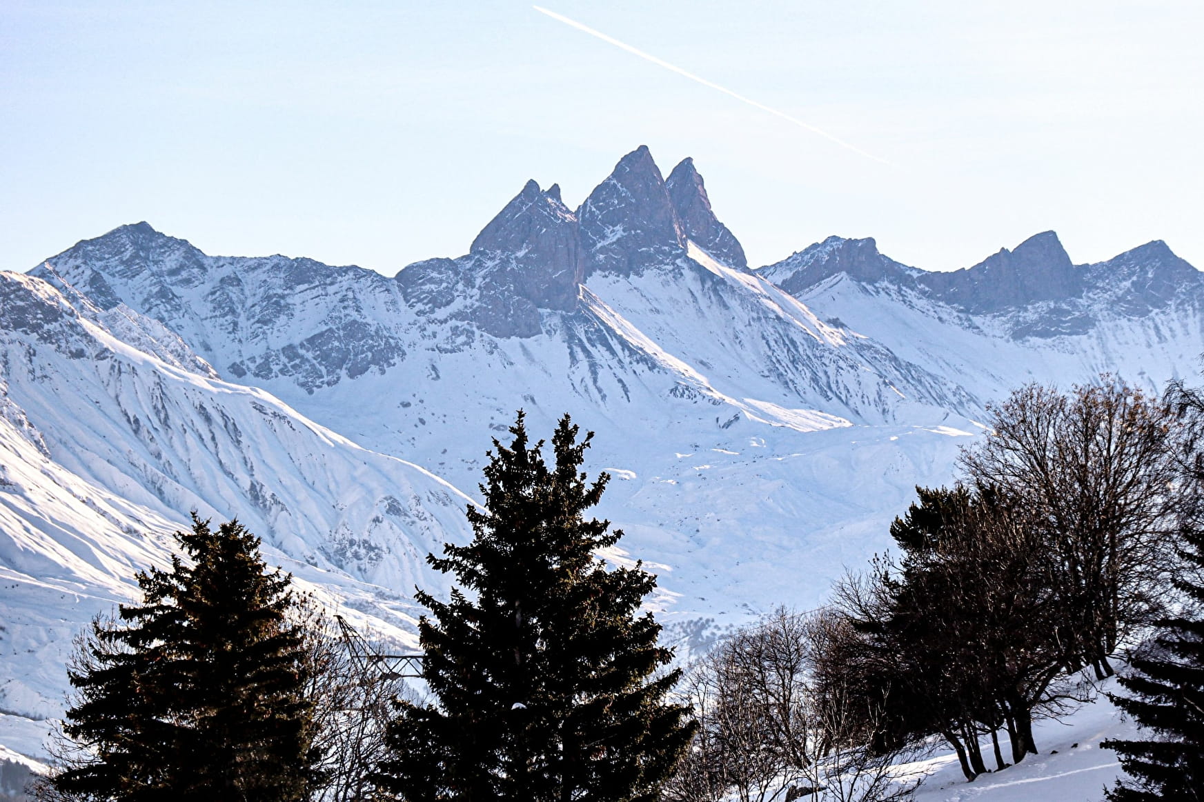
A short loop around the Col du Chaussy plateau leads to a viewpoint overlooking the region's emblematic peaks: Le Grand Coin, Les Aiguilles d'Arves, Pic de l'Etendard... and the village of Montpascal.

Sport Les Ensens La Tour-en-Maurienne
About
1 1

Prices
Free access.
Reception
Period of practice
From 16/12 to 17/03.
Subject to snow conditions.
Services
- Pets welcome
- Picnic area
- Public WC
- Car park
- Parking nearby
- Free car park
Contacts
Access

