To activate geolocation, click on the map icon.
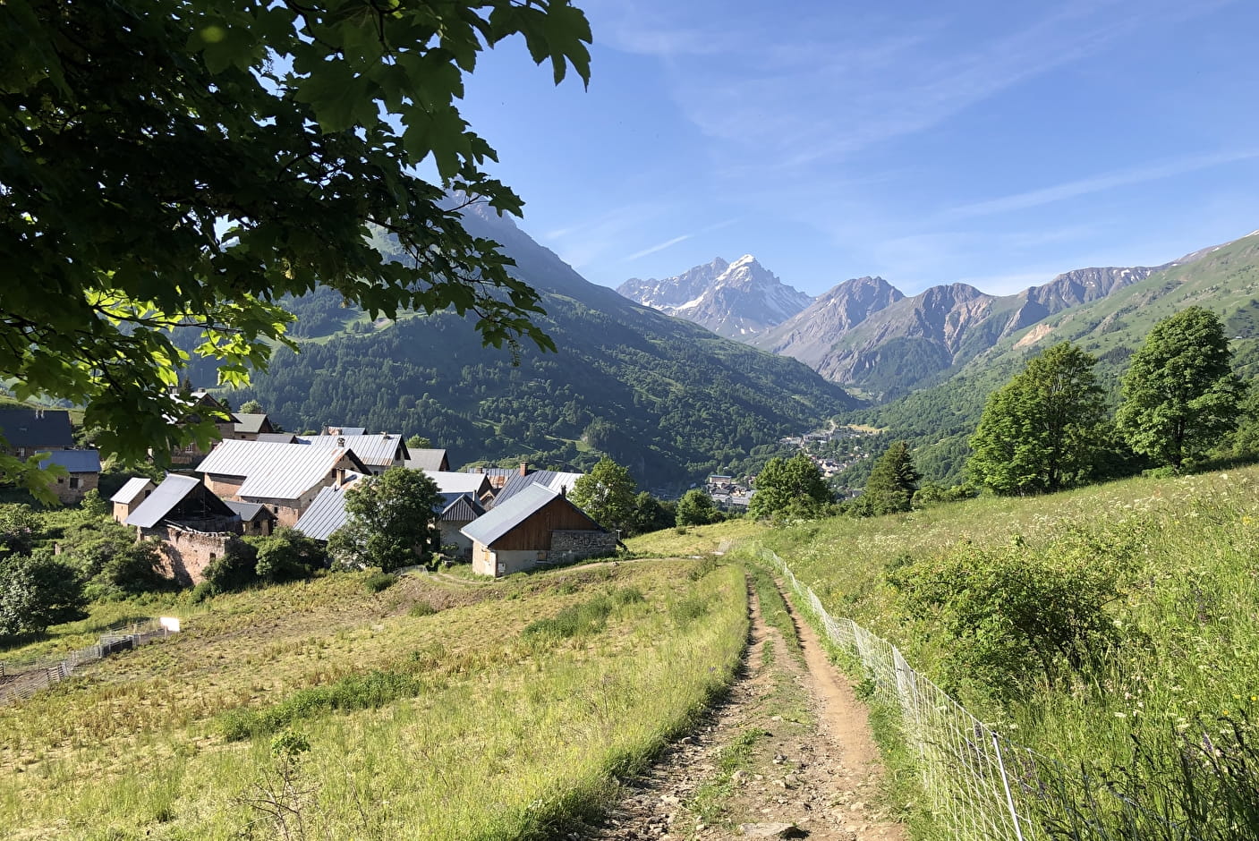
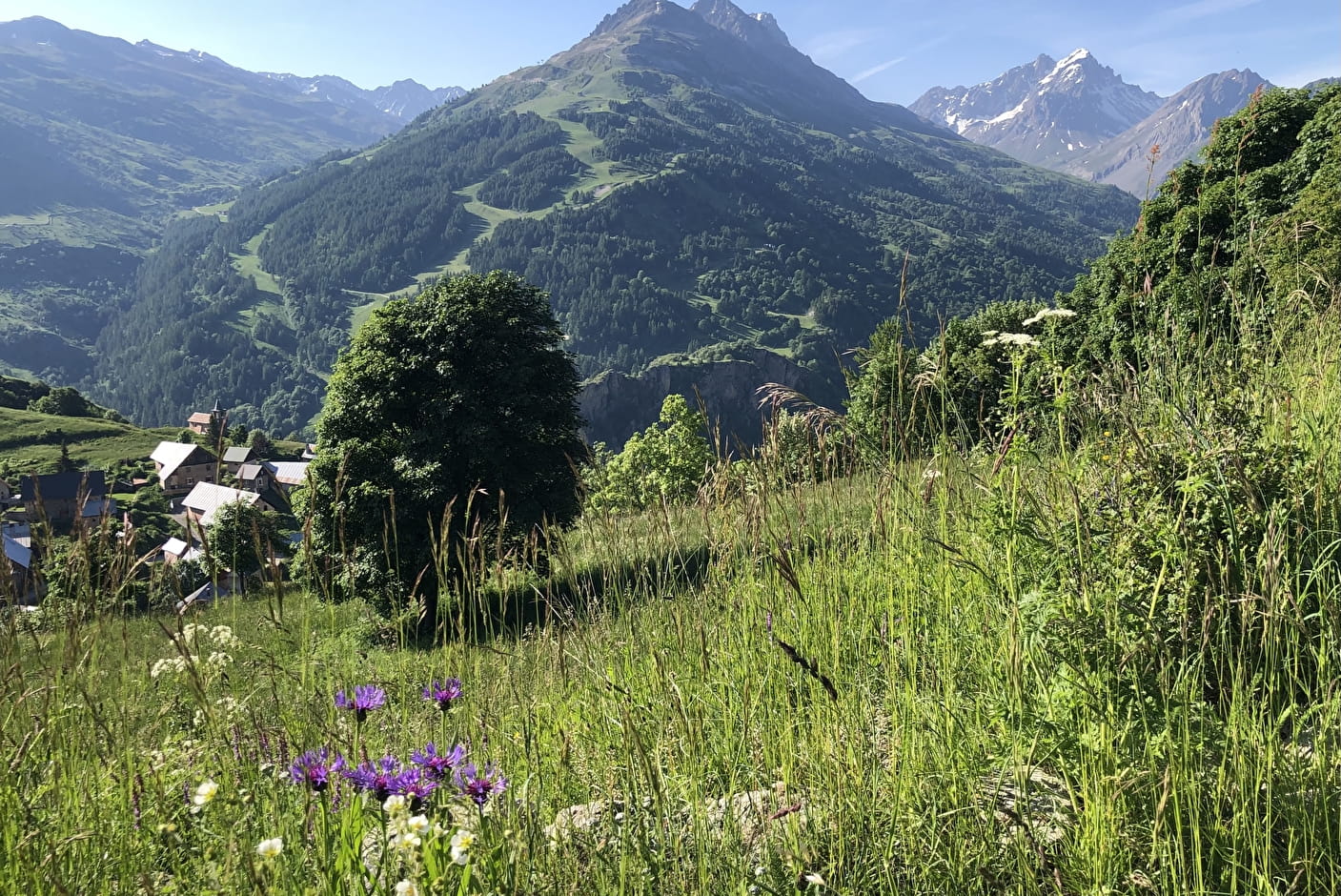
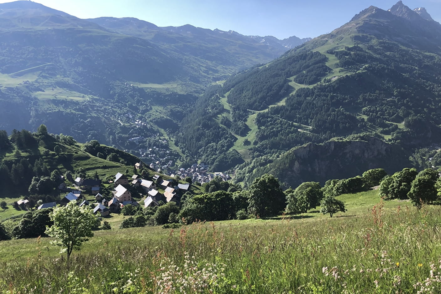
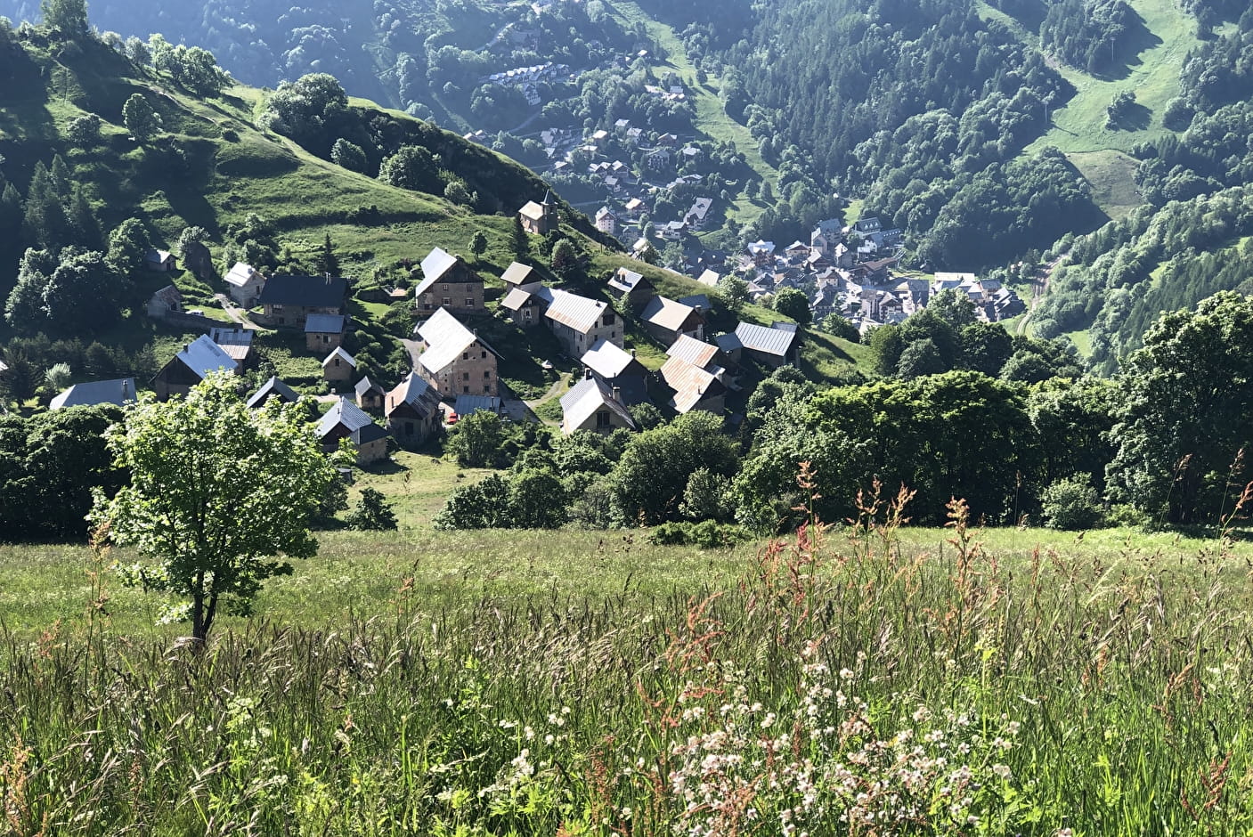
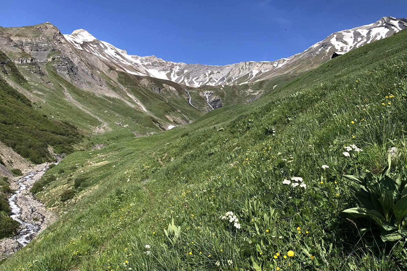
This hike takes in a wide range of landscapes.
Discover the typical village of Poingt-Ravier, where you might even come across a marmot.
- Sport
Le Clos de l'Âne - Hiking itinerary
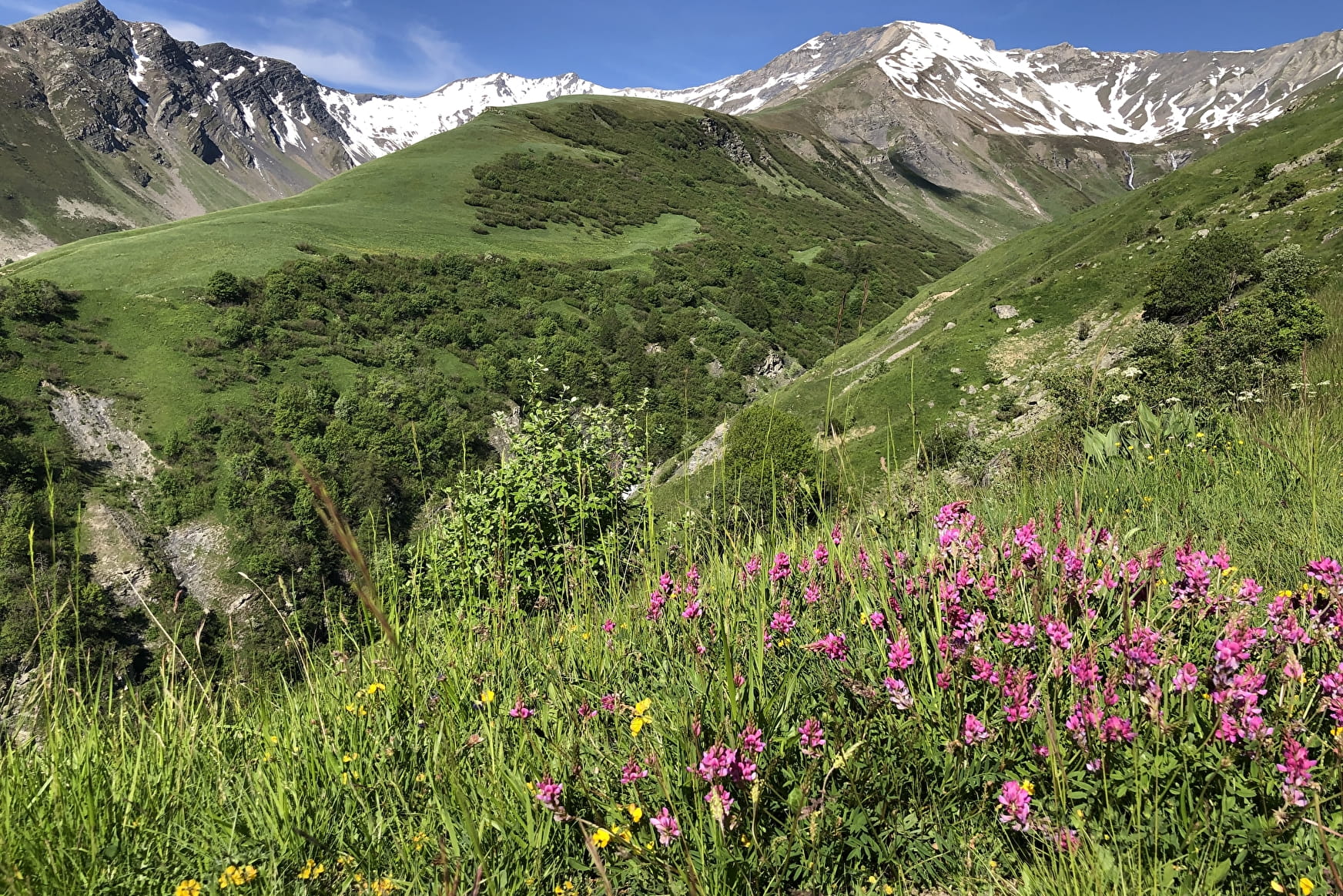
A lovely hike. With no particular difficulty, the Clos de l'âne is a very pleasant hike. It offers beautiful views of Valloire and the surrounding countryside in a bucolic setting.

Sport Le Clos de l'Âne - Hiking itinerary Valloire
About

Signs
The trail is marked with yellow directional signs.
Map references
Map of Valloire hiking and mountain biking trails, on sale at the tourist office. IGN map 3435ET VALLOIRE - Aiguilles d'Arves / Col du Galibier is on sale in Valloire shops.
Further informations
Rock, Stone, Ground
1 12


When hiking, there are a few things you can do to make your experience safer and more enjoyable. Walking poles (even on roads) improve balance in icy conditions, crampons provide grip, and regular hydration is essential.
Carry a water bottle and snacks to keep your energy up. Protect yourself from the sun with sunscreen and sunglasses. Don't forget binoculars to add a touch of observation to your adventure.
Finally, check weather conditions and avalanche risks before you set off. Inform someone of your itinerary, as communication may be limited. These small adjustments will help you make the most of your getaway.
Start from the Poingt Ravier fountain.
1/ Take the path to the left of the fountain towards Les Solèdes.
2/ At Les Solèdes, continue upwards through Les Ramées to reach the highest point of the hike.
3/ Turn back to Solèdes, then continue downhill towards the gorges de l'enfer.
4/ At the intersection, take the balcony path back to the hamlet of Poingt Ravier.
The ONF has installed temporary footbridges. They are short and narrow. The streams have a high flow rate. Use them with caution.
Prices
Free access.
Reception
To keep the mountains a pleasure, choose an activity suited to your level of experience and physical ability. Check the weather and seek advice from qualified professionals, and tell someone about your itinerary. Set off with the right equipment: good shoes and walking poles. In your rucksack, carry a water bottle and snacks to keep your energy levels up, a survival blanket or warm clothing. Protect yourself from the sun with sunscreen and sunglasses. Don't forget binoculars to add a touch of observation to your adventure.
Pets must be kept on a leash.
Period of practice
From 31/05 to 15/10.
Subject to favorable snow and weather conditions.
Services
- Pets welcome