Start the loop at the top of the Pierrafort cable car (1835m). Walk past the Altipiano mountain restaurant and head up towards Plan Salin (2050m) along a path through the mountain pastures.
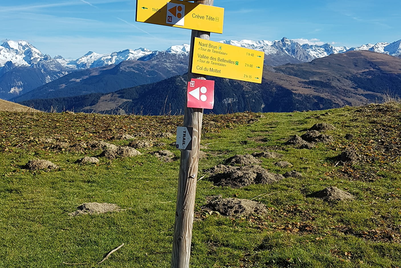
Following the Morel stream, continue up to the Sources du Morel (2162m). A path on the left takes you to the Col du Gollet for a shorter, less difficult hike.
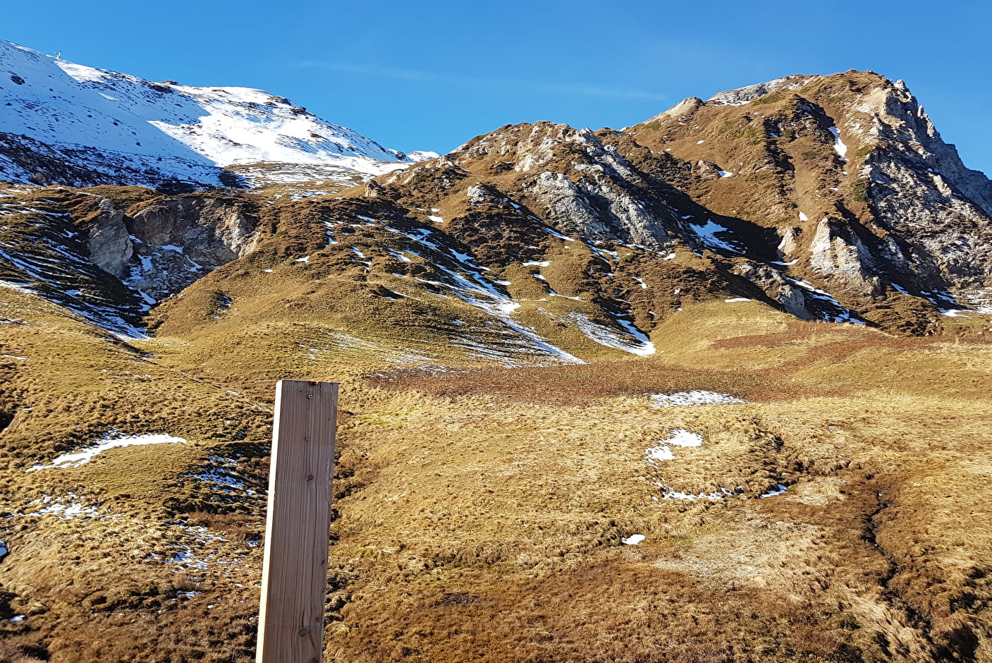
The long loop continues to the right towards Roche Blanche (2278m) through a surprising landscape characterised by the gypsum funnels formed by the crumbling of the rock. Roche Blanche offers the first viewpoint on this hike of Mont Blanc, the Nâves valley and the Vanoise and Lauzière massifs.
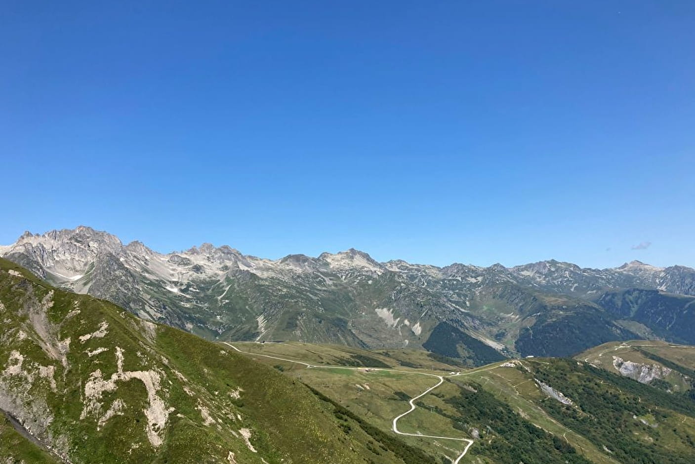
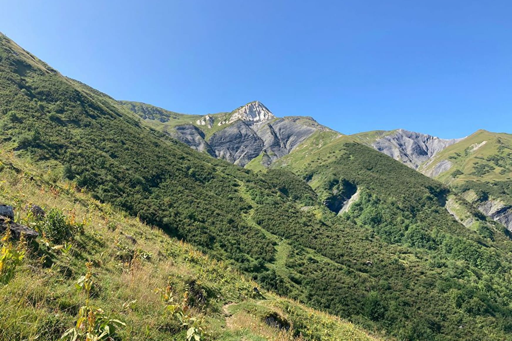
Continue along the path to reach the road. If you're feeling more sporty, turn right and head back towards the Pointe du Mottet (2592m), via the Col du Mottet (2378m) to take in the second, even more spectacular viewpoint of this hike, which also includes the Belledonne and Chartreuse ranges. Back at Sous-Riondet (2303m), follow the carriage road to the Col du Gollet (1970m) before returning to your starting point.
- Sport
Boucle de Roche Blanche - B13
A fairly technical trail with sublime views of the valley and Mont Blanc.
Sport Boucle de Roche Blanche - B13 Valmorel
About

1 13


Prices
Free of charge.
Reception
Period of practice
From 01/05 to 31/10.
Services
- Pets welcome