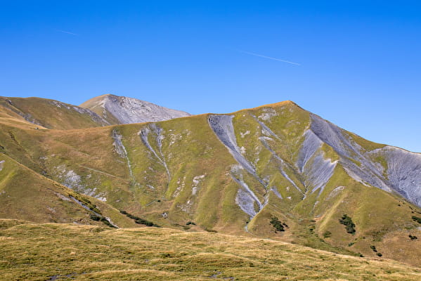
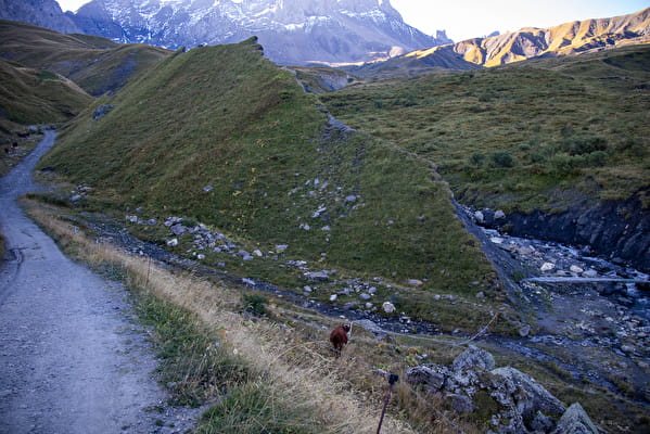
This intermediate-level hike takes you to a small summit on the magnificent Plateau de Montrond. You'll pass through magnificent mountain pastures where cows graze, producing the milk used to make the famous Beaufort cheese. All along the way, you'll enjoy magnificent views of the Aiguilles d'Arves from a variety of vantage points.
The Aiguilles d'Arves are made up of three needles, each with its own name.
Aiguille Centrale (3513 m) was first climbed in 1839 by the Magnin brothers. The Aiguille Méridionale (3514 m) to the south, climbed by Coolidge in 1878, is the highest point. Aiguille Septentrionale, linked to Aiguille Centrale by the Aiguilles d'Arves pass at 3163 m, is also known as Tête de Chat.
If you're feeling thirsty, stop off at the Chalet dl'a Croë not far from your route (15-minute detour).
- Sport
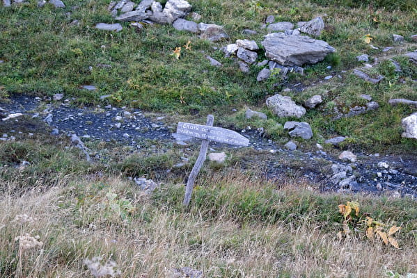
Croix de Crey Aigu

Leaving from the Relais TV du Chalmieu parking lot, drive through the alpine pastures of the Plateau de Montrond, frequented by the Tarine and Abondance cows that produce the milk needed for Beaufort, to reach this small summit and its cross: Le Crey Aigu.
Sport Croix de Crey Aigu Albiez-Montrond
About
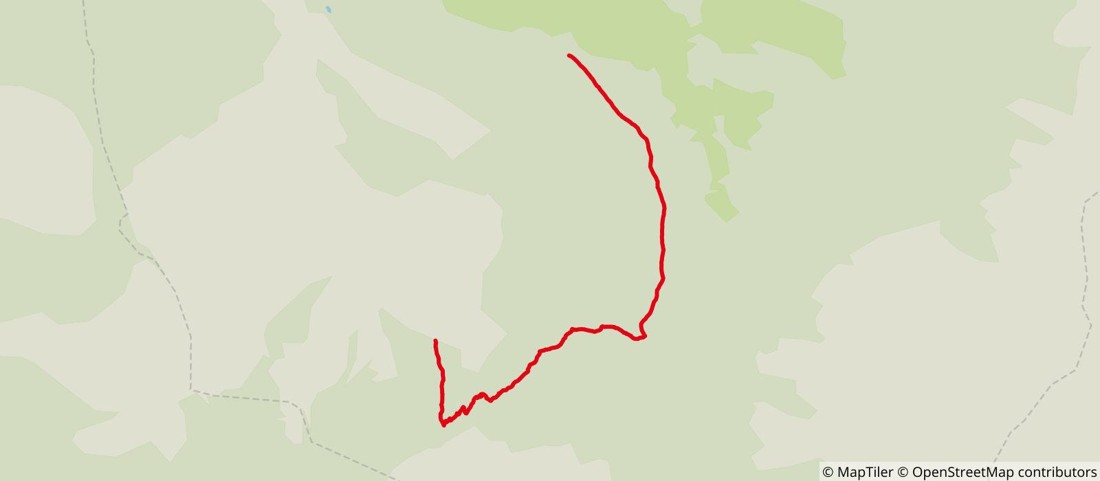
Map references
- Map Vallées de l'Arvan et des Villards (1/25000 with IGN data) available at 7€ in our tourist offices during opening hours. - Soon available on our "Pays des Aiguilles d'Arves" application, downloadable free of charge onto your smartphone.
Topoguides references
Topoguide Arvan-Villards available for €5 in our Tourist Offices during opening hours.
Further informations
Grit
Prices
Free access.
Reception
Period of practice
From 01/01 to 31/12.
Subject to favorable weather.
Services
- Pets welcome
- Free car park
- Car park
- Picnic area
Contacts
Access
- Not accessible in a wheelchair


