This hike takes in the Aiguilles d'Arves from the Col du Mollard and returns via a number of small hamlets.
The first part of the hike takes you to the Montrond plateau, once much sought-after for its numerous mountain pastures.
From here, you can admire the Aiguilles d'Arves before returning to Albiez-Montrond.
The Aiguilles d'Arves consist of three needles, each with its own name.
Aiguille Centrale (3513 m) was first climbed in 1839 by the Magnin brothers. The Aiguille Méridionale (3514 m) to the south, climbed by Coolidge in 1878, is the highest point. The Aiguille Septentrionale, linked to the Aiguille Centrale by the Aiguilles d'Arves pass at 3163 m, is also known as the Tête de Chat.
On your return journey, you'll pass through the hamlet of La Saussaz and the hamlet of La Villette. From the latter, the path you'll take to reach the Col du Mollard was once used by schoolchildren to get to the Villette elementary school.
Back at Le Mollard, the lake is just 30m from the Col. The view is breathtaking and the swim refreshing.
- Sport
Circuit des Prés Naret
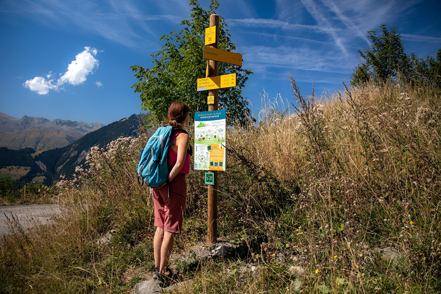
Starting from the Col du Mollard, head off in the direction of the Aiguilles d'Arves via the various surrounding trails through mountain pastures, streams and forests.
If you pay close enough attention, you may see cows, marmots or chamois...
About

Difficult passages
Depending on the time of year, the torrent de la Saussaz can be trickier to cross, due to its greater flow. There is no footbridge to cross the stream.
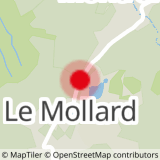
Map references
- Map Vallées de l'Arvan et des Villards (1/25000 with IGN data) available at 7€ in our Tourist Offices during opening hours. - Soon available on our "Pays des Aiguilles d'Arves" application, downloadable free of charge onto your smartphone.
Topoguides references
Topoguide Arvan-villards available for €5 in our Tourist Offices during opening hours.
Further informations
Rock, Stone, Ground, Grit


0/ Leaving the Col du Mollard.
1/ Continue on the D80 for about 30 m towards Le Mollard.
2/ Turn left towards the Pierre aux Fées vacation resort.
3/ At La Pierre aux Fées vacation center, turn left onto the sentier de la Plaigne (road then forest track).
4/ Follow this track to La Praz (small oratory at the end of the track).
5/ Continue (behind a bench) on a narrow path towards the torrent.
6/ At the intersection, head up towards the Montrond plateau.
7/ Continue towards Les Chabottes until you reach the PMR parking lot.
8/ Return to Chalmieu along the narrow paths, first passing the Relais TV parking lot.
9/ Before reaching Le Chalmieu, turn right towards La Saussaz.
10/ At La Saussaz, continue on the road towards the hamlet of La Villette to climb back up to Le Mollard along a narrow path that crosses the D80.
Prices
Free access.
Reception
This hike requires good mountain boots.
Bring water and a windbreaker.
Period of practice
From 01/01 to 31/12.
Subject to favorable snow and weather conditions.
- Pets welcome
- Free car park
- Car park
- Public WC
Contacts
Access
- Not accessible in a wheelchair


