
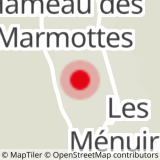
Place of departure :Les Menuires - Preyerand
Altitude of departure point: 1850 m
Maximum Altitude: 1450 m
Walking map (available in the different Tourist Offices): path n°2
- Sport
Pedestrian path : Les Menuires-Saint Martin
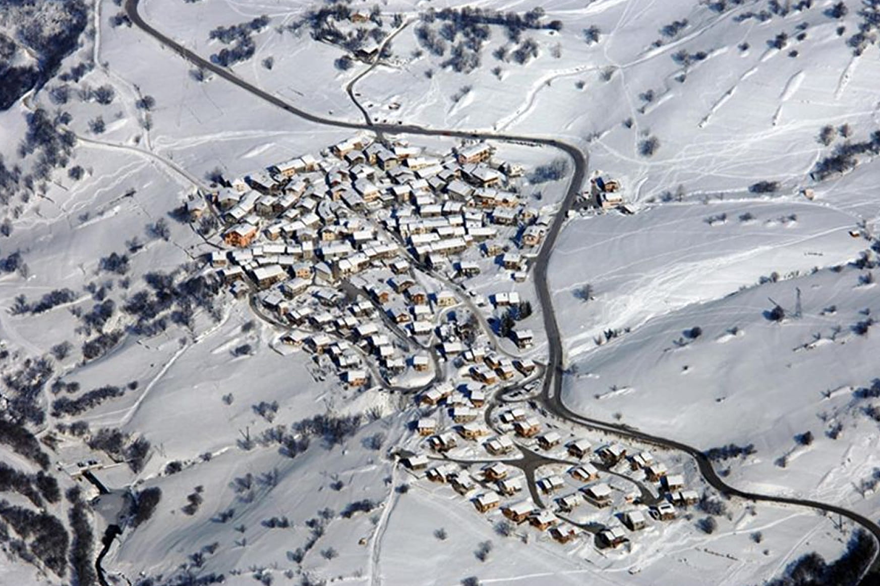
This itinerary links Les Menuires to Saint Martin following the Doron river.
Sport Pedestrian path : Les Menuires-Saint Martin Saint-Martin-de-Belleville
About

Further informations
Groomed trail
Prices
Free access.
Reception
Dog must be kept on a leash
Period of practice
From 07/12 to 26/04.
Services
- Pets welcome