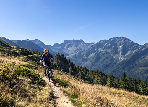
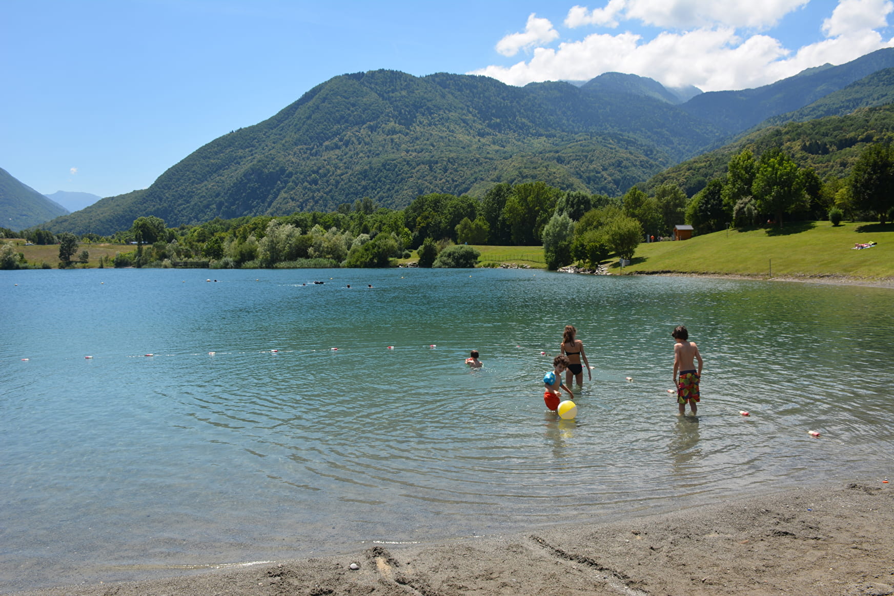
Along these 44 kilometers, you will take secondary roads and ride from village to village in peace to the first stage town: Saint-Jean-de-Maurienne. A great introduction to discovering the Maurienne and its river, the “Arc”, which will guide you until the last day. Along the way, a few museums and other curiosities, as well as bodies of water, will enhance your stops.
- Sport
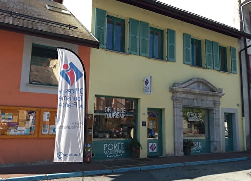
The Maurienn'Ita - Day 1/4 : Aiton > Saint-Jean-de-Maurienne by bike
An ideal first stage in the Maurienne gate, which does not require great efforts.

Sport The Maurienn'Ita - Day 1/4 : Aiton > Saint-Jean-de-Maurienne by bike Aiton
About

Further informations
Hard coating (tar, cement, flooring)
1 2


Prices
Free access.
Reception
Period of practice
All year round.