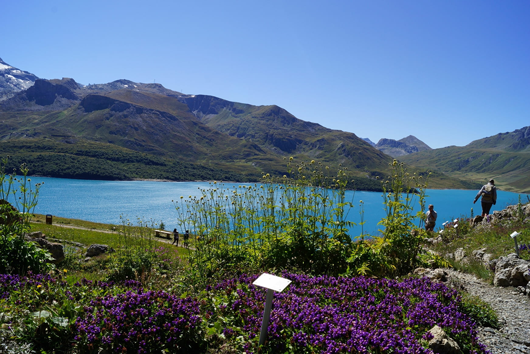
The last big stage before joining Italy, with the ascension the beautiful Col du Mont-Cenis. This historic passage will lead you to an Alpine gem: the Mont Cenis lake. Its turquoise waters will have you saying “wow”, that’s for sure ! Do not hesitate to get off your bike to discover the secrets of this site steeped in history at the Pyramid Museum or, why not, set off to storm the fortifications ! And remember that at this point in your journey, Italy has never been so close!
- Sport
The Maurienn'Ita - Day 4/4 : Val-Cenis (Lanslebourg) > Moncenisio (Italy) by bike
A few more efforts on this last day to cross the Mont-Cenis pass and reach Italy!
Sport The Maurienn'Ita - Day 4/4 : Val-Cenis (Lanslebourg) > Moncenisio (Italy) by bike Val-Cenis
About

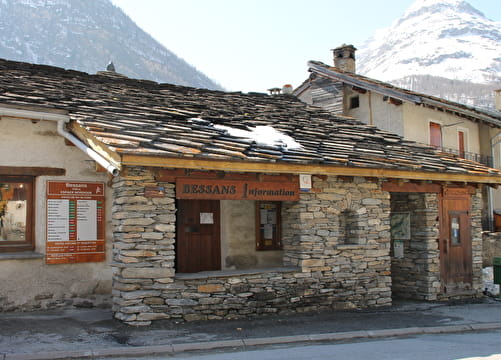
Further informations
Hard coating (tar, cement, flooring)
1 2


Prices
Free access.
Reception
Period of practice
From 01/06 to 15/10.
Get information about the opening/closing of the Mont-Cenis pass from the department via the website "savoie-route.fr" because the dates can change from one year to another depending on the snow conditions.
Subject to snow conditions.