VIALPS, a route between France and Italy to take time out to discover the mountains via a gentle, environmentally-friendly mode of transport.
The Vialps route passes through Savoie, Piedmont and the Hautes Alpes, via the Col du Galibier (altitude 2642 m), Col de Montgenèvre (altitude 1850 m)/ Echelle (altitude 1762 m), Col de Finestre (altitude 2178 m), Col de Sestrières (altitude 2035 m), Col du Mont Cenis (altitude 2085 m). Several variants have been devised to complete the initial route.
Download free GPX tracks for the various stages.
To each his own mode of discovery:
As a cyclosportif (road bike, and gravel bike for some variants)
Slow tourism / bike touring (MTB, VTC)
By electric bike
A cross-border cycle-route loop in the heart of the Alps, between France and Italy, Savoie, Piedmont and the Hautes Alpes, crossing the Pays de Maurienne, Briançonnais and Vallée de Suse regions, via the Col du Galibier, Col de Montgenèvre / Echelle, Col de Finestre, Col de Sestrières, Col du Mont Cenis.
4 stages:
STAGE 1
Modane > Susa
+ Variant via Aussois
+ Variant via Moncenisio - Novalaise
STAGE 2
Susa > Briançon
+ Variant via Col de Finestre
+ Variant via Col de l'Echelle
STAGE 3
Briançon > Valloire
STAGE 4
Valloire > Modane
- Sport
Vialps, cross-border route between Maurienne, Hautes Alpes and Italy in 4 days by bike
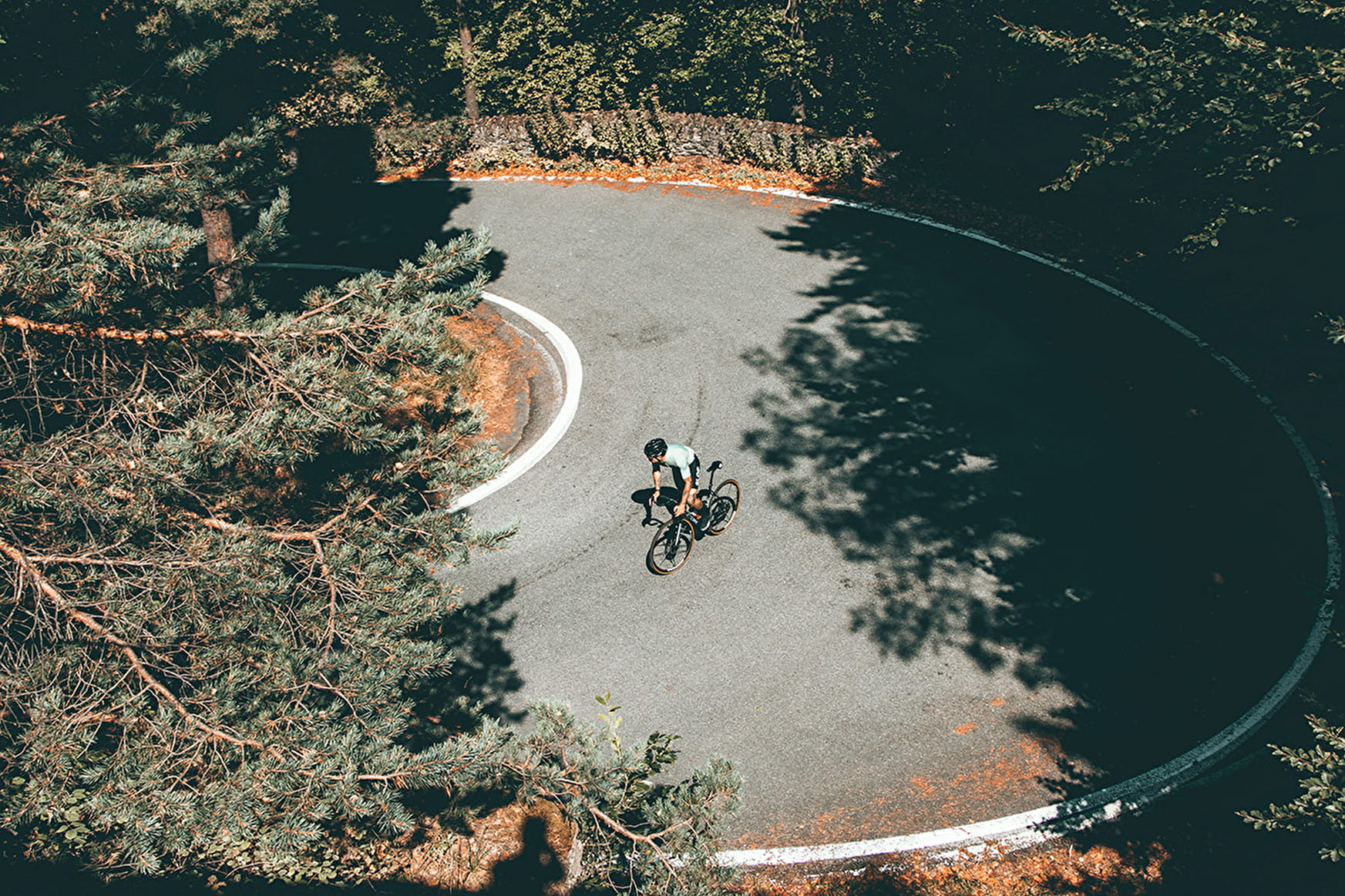
Vialps, with its 4600m of D+, is an extraordinary route in the heart of the Alps, following in the footsteps of the Giro d'Italia and the Tour de France. To be completed in one or more days
Sport Vialps, cross-border route between Maurienne, Hautes Alpes and Italy in 4 days by bike Modane
About

Difficult passages
Under development in 2022
Further informations
Hard coating (tar, cement, flooring)
1 3


Prices
Free access.
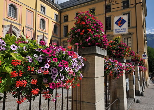
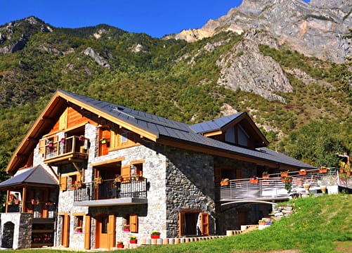
Reception
Period of practice
Closed temporarily.