This itinerary is suitable for both mountain biking and enduro mountain biking. It's the perfect introduction to mountain biking. Its wide, medium-gradient track allows you to experience your first thrills in complete safety.
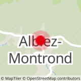
You'll also appreciate the view over the small village of Albiez-le-Jeune and the Moine de Champlan.
- Sport
Enduro itinerary - Moulins
From Place Opinel, take a forest trail to the hamlet of La Cochette. On your way down, you can admire the village of Albiez-le-Jeune and the Moine de Champlan (geological structure: fairy chimney).
Sport Enduro itinerary - Moulins Albiez-Montrond
About

Signs
At the start, you'll find numbered signposts all along the route, in the color of the route's difficulty.
Difficult passages
Watch out for farmers' wires that may cross the track as you descend.
Map references
Map of the Albiez Enduro Park. Available free of charge from all tourist offices in the valley.
Topoguides references
Map of the Albiez Enduro Park. Available free of charge from all tourist offices in the valley.
Further informations
Stone, Ground
Prices
Free access.
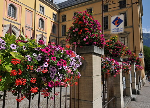
Reception
- To ride this route in complete safety, you'll need a suitable enduro mountain bike, a helmet and suitable gloves.
- This itinerary is also used by hikers, so please be vigilant and courteous with them.
Period of practice
All year round.
Subject to favorable weather.
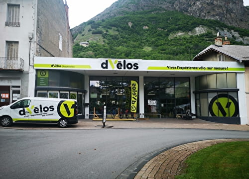
Equipments
- Parking nearby