

Take one last look at the village of Aussois, surrounded by slender mountains, sometimes still whitened by the marks of winter. With your shoes firmly laced, set off into a pine forest like no other. The path opens up before you like a mysterious passage.
Treat yourself to a moment of peace and quiet in this natural setting. The sun's timid rays create paintings of light and shadow, drawing ephemeral frescoes on the wooded ground. Arrival at the plateau is imminent.
Why not take advantage of this view for a gourmet break, at the foot of the Turra d'Aussois, face to face with the Pointe de l'Échelle? The wild grasses sway in the wind. The Arponts plateau invites you to relax. Immerse yourself in the present moment, lulled by the delicate songs of the birds. Let your gaze bounce off each of the peaks of the border range.
Still have a little energy left? Dare a short detour to the Chappe telegraph, just a few steps away, and enjoy a descent that will delight trail enthusiasts.
- Sport
The Arponts plateau
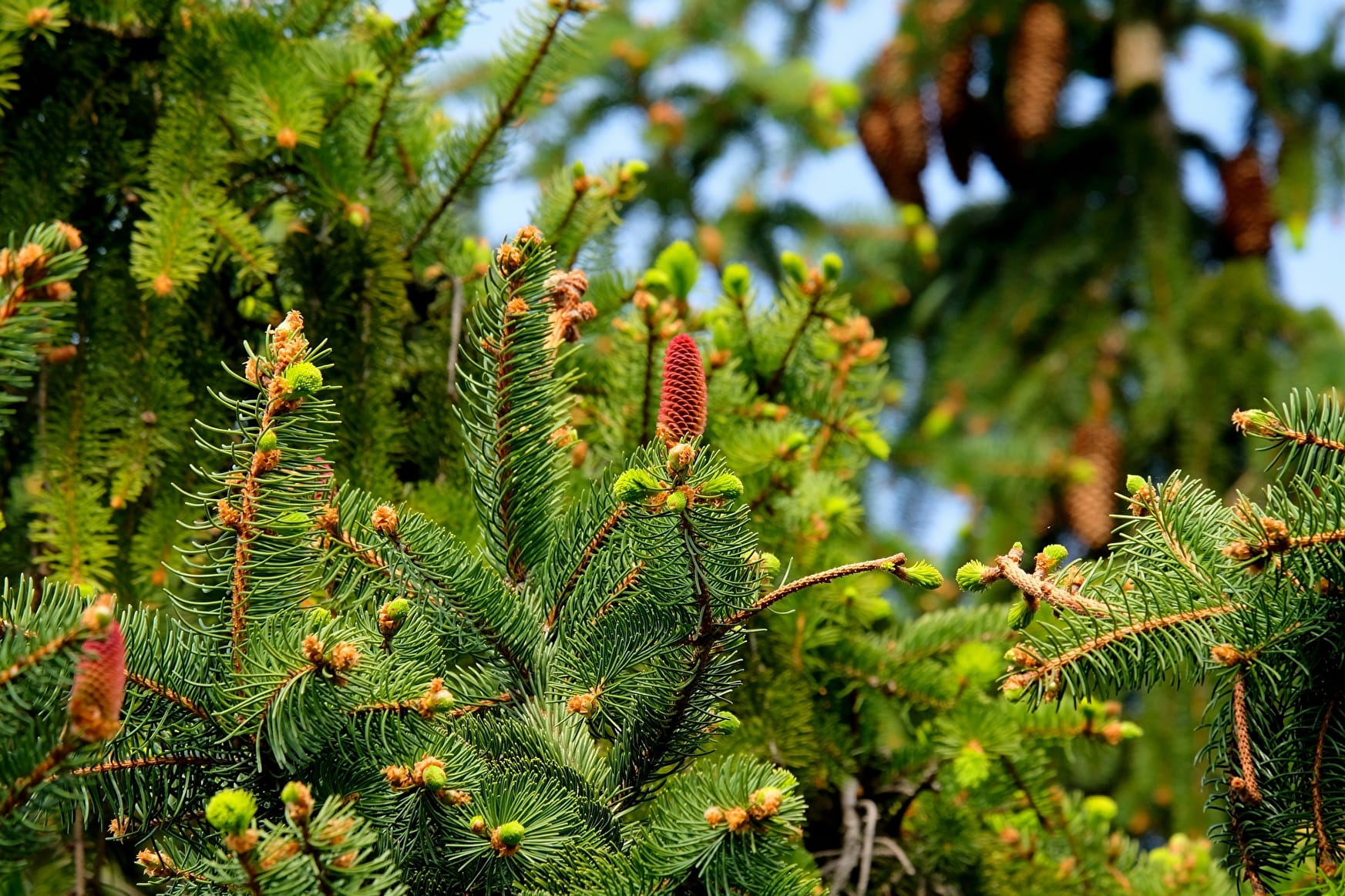
Enter a silent, verdant clearing. In fine weather, share this colorful paradise with butterflies fluttering in the gentle breeze. You're sure to leave a smile on your face.
About
Signs
Departmental signposting (PR)
Map references
Map IGN 3534OT - Les Trois Vallées
Topoguides references
Map and booklet "Haute Maurienne Vanoise. 115 walks and hikes - 35 trail trails. For all levels" (sold for €10 in Tourist Offices) - Itinéraire bleu n°33
Further informations
Stone, Ground
To guide you in the field, consult the "step-by-step" directional diagram provided in pdf.
Prices
Free access.
Reception
The duration of hiking trails is calculated using reference paces: 300 m/h ascent, 500 m/h descent and 4 km/h on the flat.
As hazards may occur at any time on the routes, the GPX tracks provided are not contractual. They are given for information only. Riders use them at their own risk, depending on their level of technological proficiency and their understanding of the terrain.
Pets on leash only
Period of practice
From 15/03 to 15/10.
Subject to favorable snow and weather conditions.
- Pets welcome
- Parking nearby
Contacts
Access
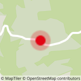
Start the hike at RD83 - from Aussois towards Sardières to the Croix parking lot on the left.