A leisurely start with a short descent to the hamlet of La Cochette, continuing along a pleasant grassy track up to Albiez-Montrond.
A short loop around Les Contamines with panoramic views.
A fun, rolling discovery trail to La Villette.
An ascent by road to Col du Mollard followed by a final loop around Croix du Châtel. Grandiose.
- Sport
Gravel introductory course
The Albiez Gravel initiation course is: a double figure-of-eight loop to help you discover Gravel on several possible surfaces, away from traffic, and offering varied and unique landscapes.
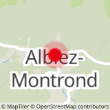
Sport Gravel introductory course Albiez-Montrond
About

Further informations
Ground, Hard coating (tar, cement, flooring), Grit
1 3


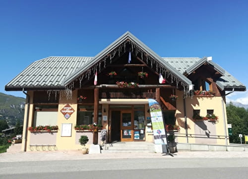
0/ Depart from the Place Opinel parking lot in the center of Albiez-Montrond village. From there, head down towards Saint-Jean-de-Maurienne (D110, towards the Arvan valley).
1/ Drive downhill for about 2 km, then at the hairpin turn straight on at the hamlet of "La Cochette". You'll arrive at the square where you'll find the beautiful Sainte-Marguerite chapel.
2/ Continue for a few meters, then turn right at the fork in the road (signposted Albiez-Montrond). The tarmac soon gives way to a grassy track.
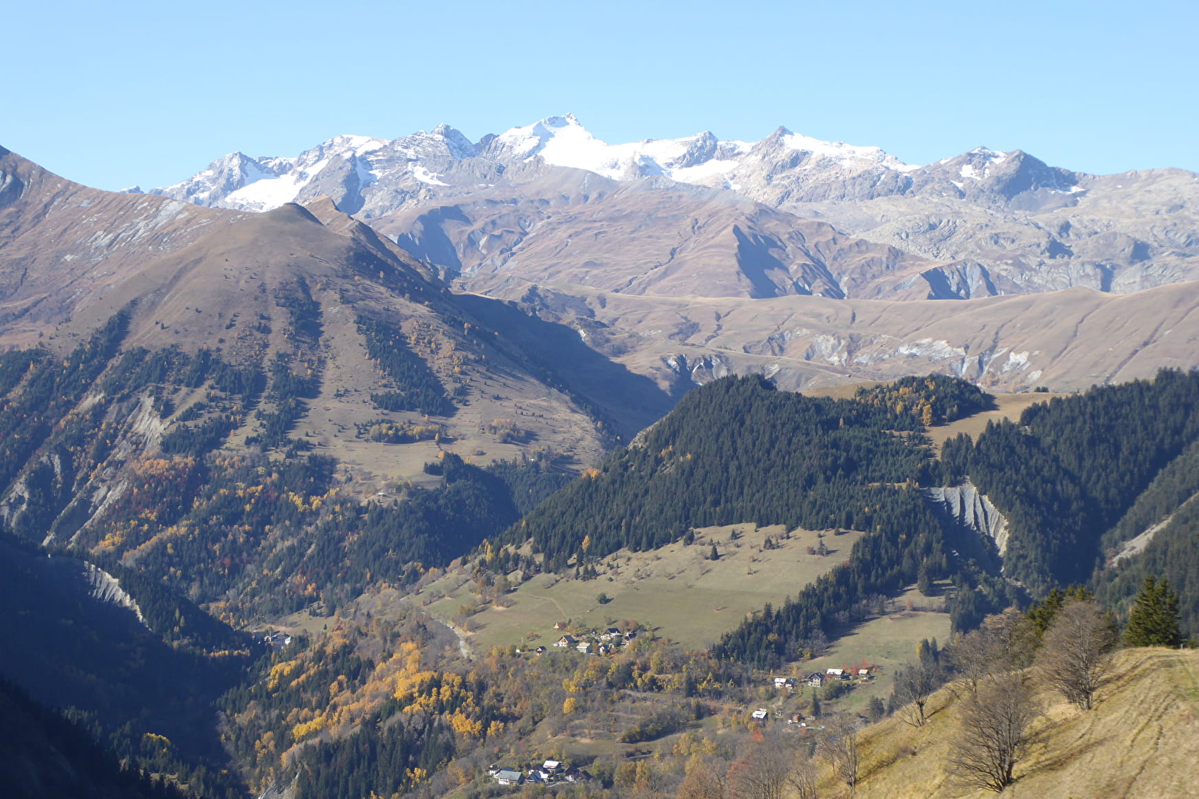
3/ The first part of the Gravel trail begins: the view opens up here and you can see Casse-Massion in front of you, the beautiful village of Albiez-le-Jeune to the left, and the Cheminée des Fées "le Moine de Champlan" (heading north-east), a geological wonder, below.
4/ From here, a very short and not steep descent where you must keep to the right at the two Y junctions. Continue on this track, which is smooth and a little stony at times. The slope is gentle for the rest of the route. The end of the run is completely clear and you can see the Pointe d'Emy and the Albiez ski area. On the other side, the Sybelles ski area and the Espace Nordique du Grand Coin. Enjoy the view of the beautiful Saint-Michel church with its 16th-century clock.
5/ At the end, stay on the main trail (don't take a less marked trail that goes straight through the last bend). 100m after this bend, turn left to reach the village center in 200m.
6/ From the village center, head towards "Mairie - Église", then take the first street on the left (Rue Froide). Continue until you see the sign for "Albiez-le-Vieux | alt 1510m", then turn right and continue along the grassy track. You can see Albiez-le-Jeune opposite, with the Moine de Champlan below. The trail is smooth and easy, mostly flat with a few gentle descents.
7/ At altitude 1498 m, keep to the track on your left. You'll soon come to a wooden sign at around 1505 metres altitude. From here, follow "Albiez-le-Vieux" to get back to the path you took on the outward journey. Follow the same route back to the village center.
8/ From the village, continue along Rue du milieu, then turn left onto Chemin du Rival and continue along the road. You'll enjoy a sumptuous view of the Sybelles ski area, the Pic de l'Étendard and Mont-Charvin.
9/ After leaving the road, the second Gravel section begins once you've reached the discovery trail. This is a very rolling section.
The route quickly returns to the forest, but leaves several views over the landscape, notably of Combe Genin and its Cheminées des Fées.
10/ There are a few short, easy descents on good surfaces until you reach the hamlet of La Villette. Once on the tarmac, turn left. After 200 m, you'll reach the D80, where you turn left to continue to the Col du Mollard. From the pass, switch to the other side for a few metres, then turn left onto the track towards "Boucle du tour du Châtel".
11/ A little further on, the trail splits in two. Turn right (yellow VTT FFC markings) and follow the rolling path which runs horizontally on your right. You can see the village of Albiez-Montrond below. After a few metres, you'll come to a short descent, but be careful not to pick up too much speed, even if the surface is good.
12/ This is followed by an ascent with a fairly difficult section. The slope then becomes gentler very quickly. You soon reach the tarmac (at around altitude 1645 m) where there's a picnic table with a beautiful view of the Aiguilles d'Arves and the Pic de l'Étendard.
13/ Take the road towards "Retour col du Mollard". You will pass a number of houses. At the crossroads, turn left and return to the Col du Mollard a few metres further on. From the pass, take the road back down to Albiez-Montrond and return to the starting point in the village center.
Prices
Free access.
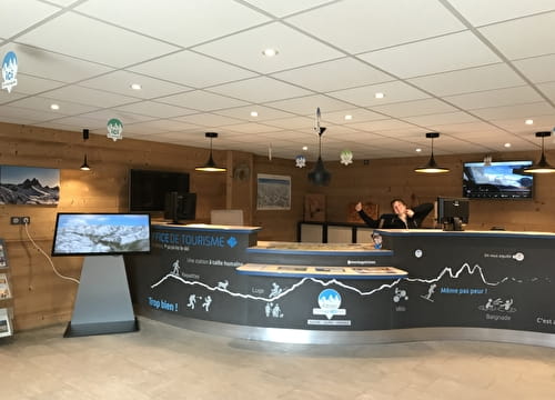
Reception
Period of practice
From 15/04 to 31/10.
Services
- Restaurant
- Takeaway/cooked dishes
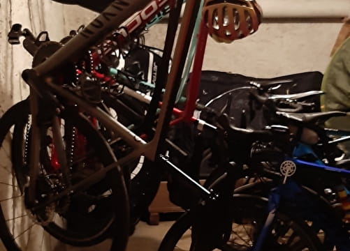
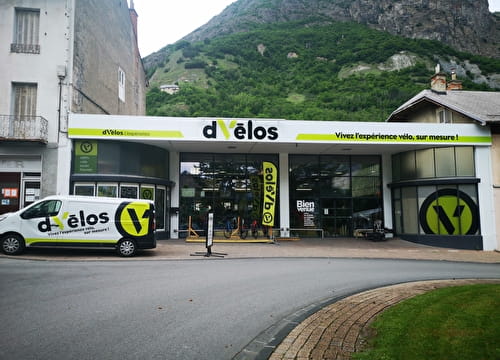
- Mountainbike hire
- Picnic area
- Public WC
- Car park
- Orientation board
- Parking nearby
- Charging stations for electric vehicles
- Charging station for 2 electric wheels
- Free car park