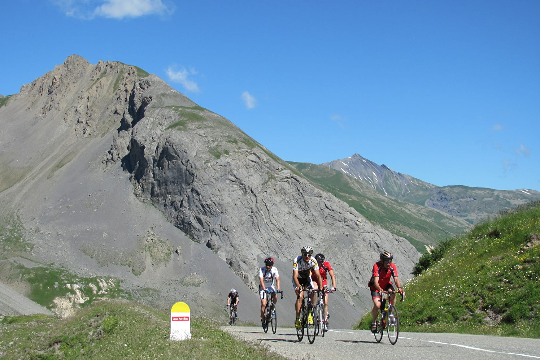
The Tour de France first passed over the Galibier on July 10, 1911, and on that day Émile Georget, the only rider to do so without setting foot on the ground, exclaimed to witnesses: "That'll put you in a corner", while calling the organizers "bandits" who dared to take the riders over this pass. Since then, it has become one of the most prestigious stages and has seen some of the biggest names take part. From the summit, you have a magnificent view of the Grand Galibier, the Pic Blanc du Galibier, the Glaciers de la Meije, Mont Viso and, on a clear day, Mont Blanc. The Col du Galibier is a crossroads between two major Alpine valleys on the route des grandes alpes.
- Sport
Cycling up the Col du Galibier from Valloire
More than 18 km of high mountain await you to climb this mythical pass and reach a splendidly panoramic finish at 2642 m.
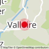
Sport Cycling up the Col du Galibier from Valloire Valloire
About

Signs
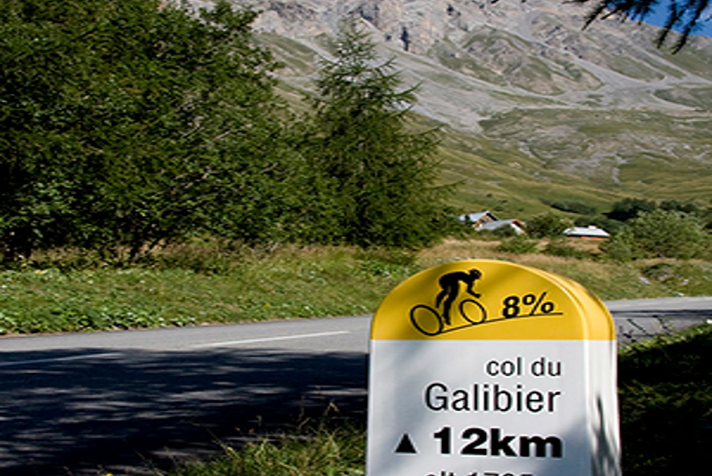
This route is equipped with milestones indicating the average gradient and remaining distance.
Difficult passages
The Galibier tunnel, 1 km before the pass, is closed to cyclists.
Map references
Vélo de Route" map of "La Maurienne, the world's largest cycling area" published by Maurienne Tourisme and available from all Maurienne Tourist Offices (subject to availability).
1 6


In Valloire, at an altitude of 1,430 m, 18 km at an average gradient of 6.9% to the Col du Galibier await you, but as soon as you leave the village, a gradient of over 8% takes you to the hamlet of Les Verneys. A quieter 2 km brings you to the hamlet of Bonnenuit, where the climb continues to Plan Lachat and its short flat area. Once over the little bridge with its right-hand bend, there are 8 km to go at an average gradient of 8.5%, and the climb exceeds 2,000 m in altitude. You then enter a high mountain setting, and it's only three kilometers from the summit, on a small "flat spot", that you can see the summit of the Col du Galibier in the rocks. The pass in front of the tunnel (forbidden to bikes), at 2,556 m, almost heralds the end of the ascent, but with the last km at an average of 9%, the effort remains sustained all the way to the summit.
Reception
Period of practice
From 01/06 to 31/10.
Depending on the weather.
Equipments
- Picnic area
- Bar
- Public WC
- Orientation board
- Parking nearby