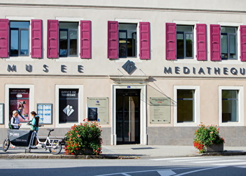
• Sport

Itinéraire cyclo - Col de Plan Bois par Manigod

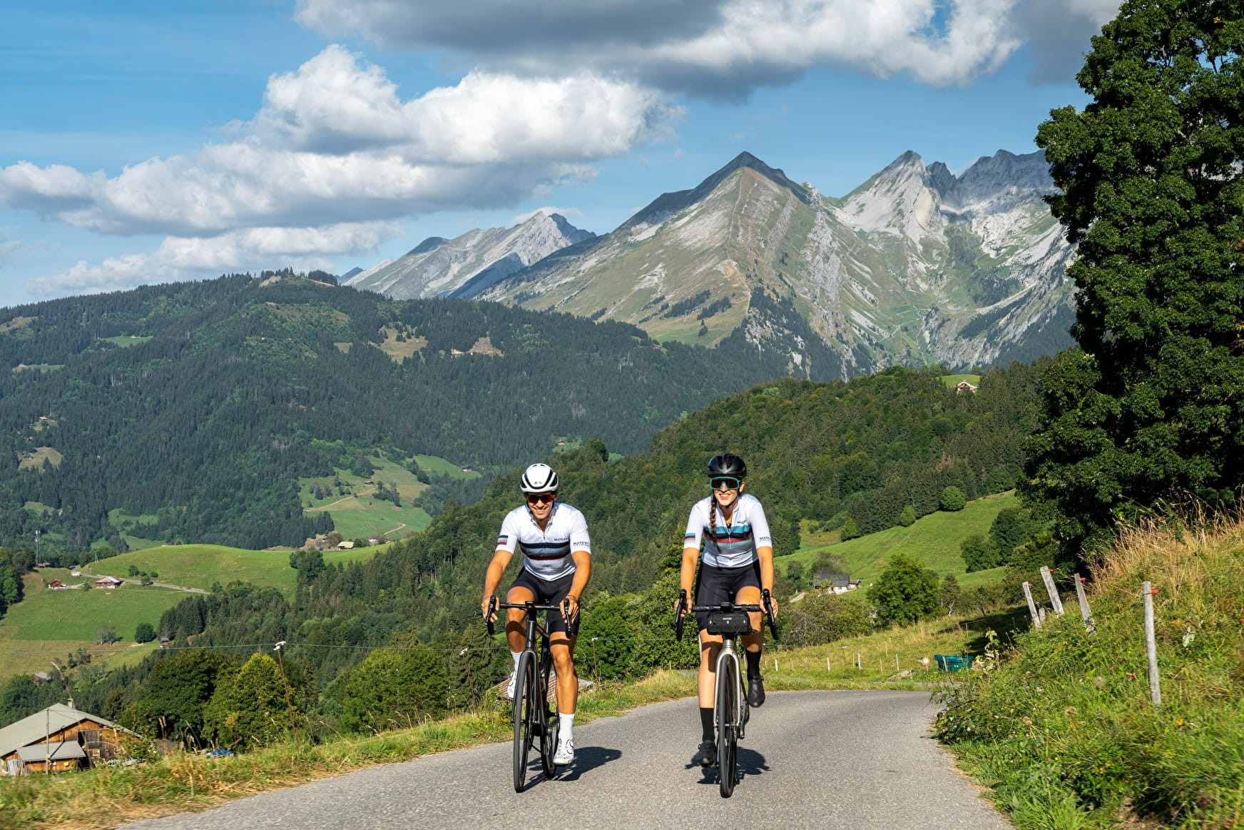
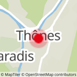
Sport Itinéraire cyclo - Col de Plan Bois par Manigod Thônes

About

Departing from Thônes (74230)
Average length : 02h00
Total elevation gain : 750m
Vertical drop : 750m
Distance : 23km
Non signed itinerary

Loop
Total elevation gain : 750m
Vertical drop : 750m

Further informations

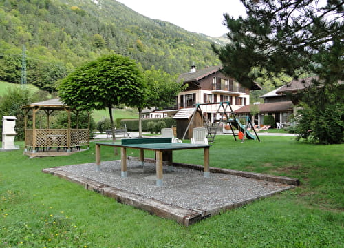
Hard coating (tar, cement, flooring)

    1 2

    Prices

    Free access.

    Reception

    Animals not allowed

    Period of practice

    All year round.

    Access

    1 rue Blanche 74230 Thônes
    Departing from : Thônes (74230)
    Latitude : 45.881646 - Longitude : 6.324231
    Information update on 25/04/2024 by Office de Tourisme de Thônes Cœur des Vallées