- Sport
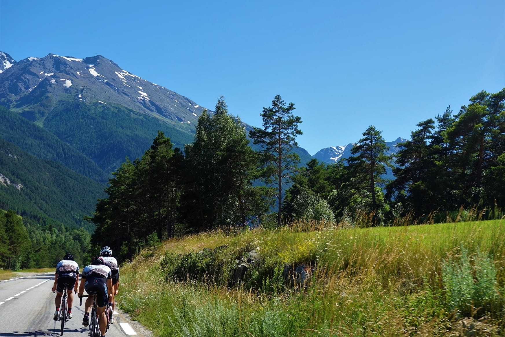
Itinéraire Cyclo : La Haute-Mauriennaise
Savoie Mont Blanc's choice
This long itinerary has several uses: as a route to Italy for passing cyclists, either by taking the train from Modane or cycling over the Col du Mont-Cenis; as a way of getting to the foot of the Col de l’Iseran; or simply to explore the Haute Maurienne!
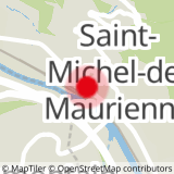
Sport Itinéraire Cyclo : La Haute-Mauriennaise Saint-Michel-de-Maurienne
About
1 3


Prices
Free access.
Reception
Period of practice
All year round.
Equipments
- Parking nearby
- Public WC
- Bar
- Picnic area