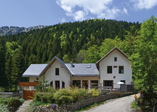
(1) At the exit of the leisure center Rivier’Alp, take right to cross the village of Les Echelles. At the war monument, place Francisque Viard, take the road towards Attignat-Oncin (D921).
(2) The gentle slope up to La Bauche, for about 5 km, offers a beautiful view over the Gorges de Chailles.
(3) About 1 km after the exit sign of La Bauche, at ‘Grand Chemin’, take right at the junction (do not follow Attignat-Oncin). This small road leads to the chief-place of Attignat-Oncin.
(4) Take the B-road D39, then the D39a, which allows you to reach Lépin-le-Lac with nice views on the lake.
(5) Cross and cycle along the railway on the B-road D921d.
(6) At the exit of Lépin-le-Lac, cross the railway again, and follow Novalaise.
(7) A nice cycle lane allows you to ride along Lake Aiguebelette. For a well-deserved dive in the turquoise waters of the lake, you will find several beaches on your right.
(8) At the end of the Lake, at the roundabout, go straight ahead towards Nances.
(9) Pass under the motorway and take right, on the B-road D41. Here starts the ascent to the col de l’Épine: main challenge of the loop (600 m elevation gain of on 9 km). At the hamlet Les Grollets, go straight ahead, still on the D41. Immediately after Nances, turn right.
(10) About 2 km further, join the B-road D916 and follow Col de l’Épine.
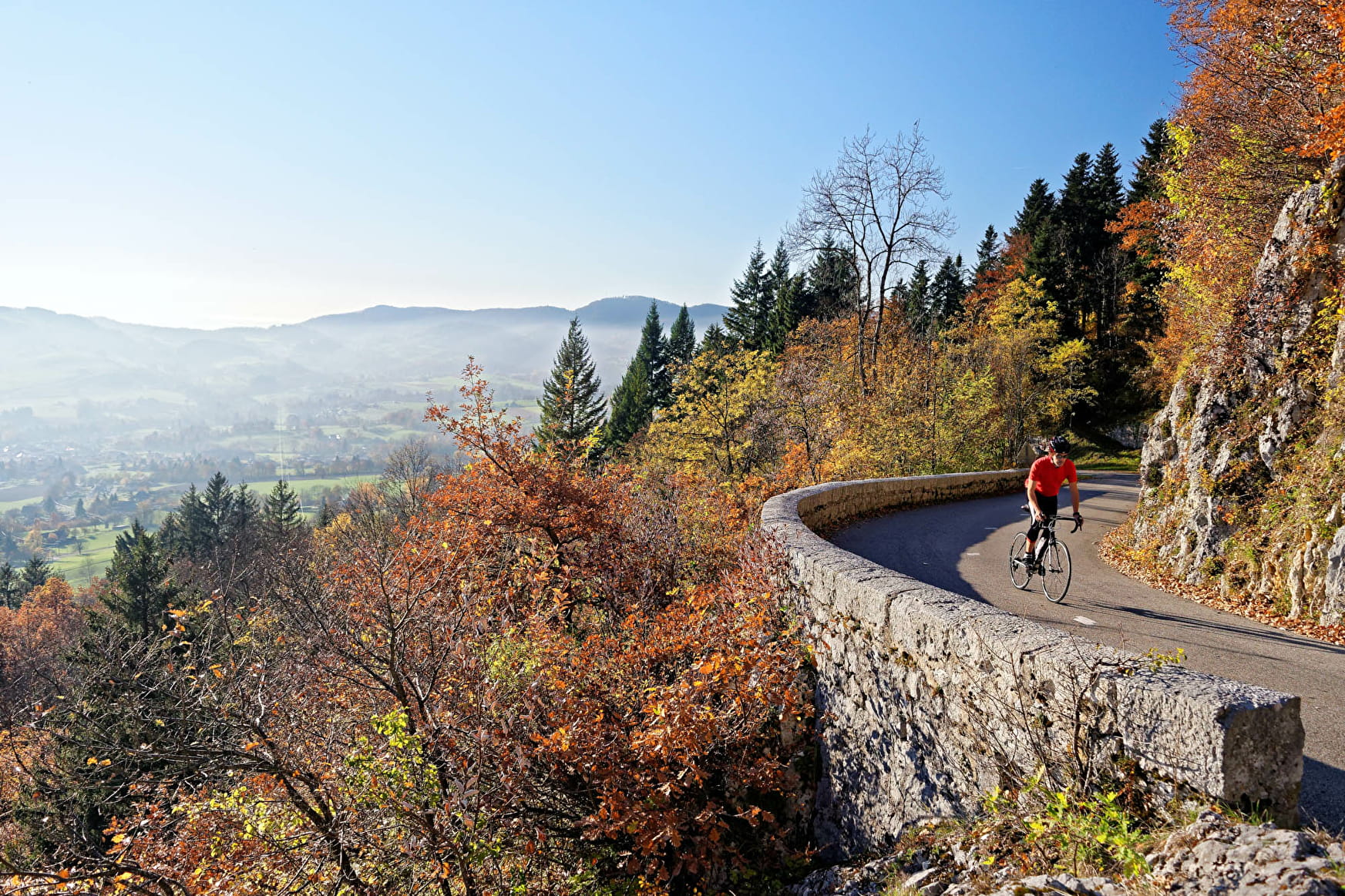
(11) Stay on the D916 until the col. The ascent is steeper from 5 to 1 km before the col (8 to 10%). The last kilometre is almost flat.
(12) After the col, enjoy the view on Chambéry and Lake du Bourget, then start the descent to Saint-Sulpice. In the village, stay on the B-road D916 towards Cognin.
(13) At 1,5 km, take right towards Vimines, then follow Saint-Thibaud-de-Couz on the B-road D47.
(14) At the junction with the B-road D1006, take right towards Les Échelles. A cycle lane will lead you to the col de Couz, and finally to Les Échelles, through the tunnel, which is not lit, and where the traffic can be heavy.
(15) After the tunnel, follow Rivier’Alp to get back to your starting point.
Note: Can be started from Chambéry, through Cognin.
- Sport
Tour du Mont Grêle
A loop on the foothills of the Jura mountain range! The route also goes round Lake Aiguebelette and over the Col de l’Épine.
Sport Tour du Mont Grêle Les Échelles
About
Prices
Free access.
Reception
Period of practice
From 01/05 to 31/10.
Subject to favorable weather.