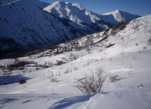
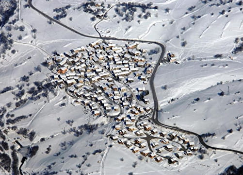
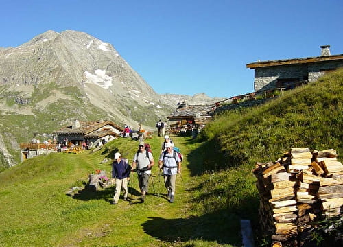
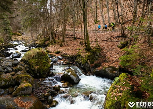
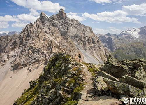
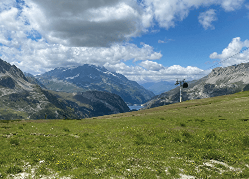
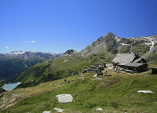
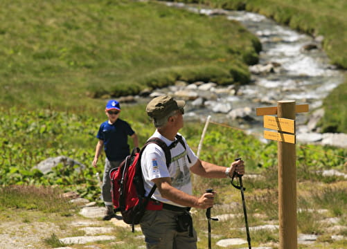
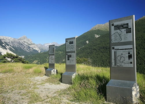
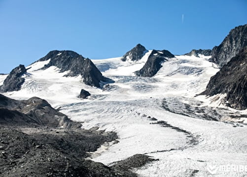
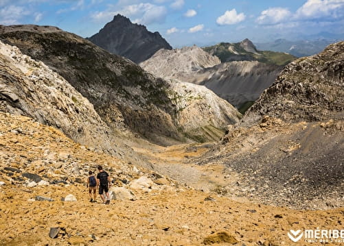
Hiking between lakes and mountains: 8,000km of signed footpath to discover picturesque mountain villages, the three largest lakes of the French Alps, the Tour du Mont Blanc, the National Vanoise Park…it’s a hiker paradise. Explore more than 7,000 km of signposted trails, from the shores of the area’s big lakes to the peaks and meadows of the high Alps.
- Parc national de la Vanoise
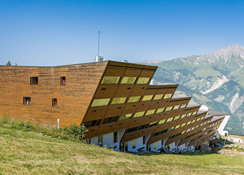
Walking
- 624 in 648 on 701 results
-
 Cultural
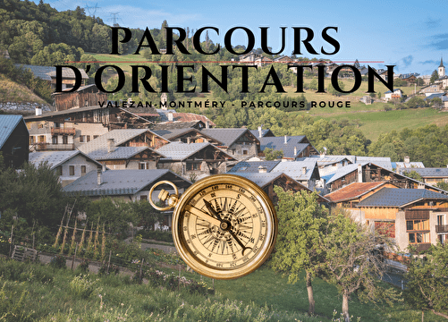
Orienteering course - Heritage of Valezan Montméry - red level
-
 Cultural
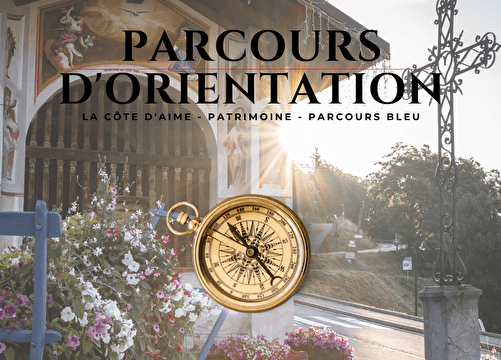
Orienteering course focusing on heritage around La Côte d'Aime - blue level
-
 Cultural
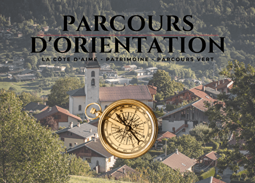
Orienteering course focusing on heritage around La Côte d'Aime - green level
-
 Cultural
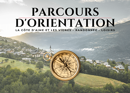
Orienteering course, hiking around La Côte d'Aime
-
 Leisure
Parcours d'orientation Sportifs d'Arc 1600 - Parcours vert
-
 Leisure
Parcours d'orientation Sportifs d'Arc 1600 _ Parcours bleu
-
 Sport
SportPedestrian circuit : Village discovery
-
 Sport
SportPedestrian circuit : Villarenger path
-
 Sport
SportPedestrian circuits : "Le Plan de l'Eau" path
-
 Sport
SportPedestrian circuits : Bernadette balcony path
-
 Sport
SportPedestrian circuits : Les Choumes path
-
 Sport
SportPedestrian circuits : Les Girauds path
-
 Sport
SportPedestrian path : Les Menuires-Saint Martin
-
Plan Sec Refuge
-
 Sport
SportR3 - Bathers' Trail - from Les Allues
-
 Sport
SportR9 - Pas du Lac gondola / Col du Fruit / Bois des Ramées - from Méribel-Mottaret
-
 Sport
SportRandonnée - Val d'Isère Par le Plan
-
 Sport
SportRefuge de la Dent Parrachée
-
Refuge of Fournache
-
Rock carvings and the Archaeological Park Lozes
-
 Sport
SportS2 - Tour des lacs Mont Coua - depuis le Refuge du Saut
-
 Sport
SportS3 - Tour de l'aiguille du Borgne - depuis le Refuge du Saut
-
 Sport
SportS4 - Col du Soufre - depuis le Refuge du Saut
-
 Sport
SportS5 - Col Rouge - depuis le Refuge du Saut