Technicalities: The last few metres of the trail below the road are a little technical. Beginners are advised to put their foot down.
Duration: 30 minutes to 1 hour.
Physical level: very easy.
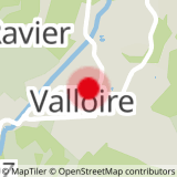
To activate geolocation, click on the map icon.
- Sport
4 - Discovering the hamlet of Villard - VTTAE itinerary
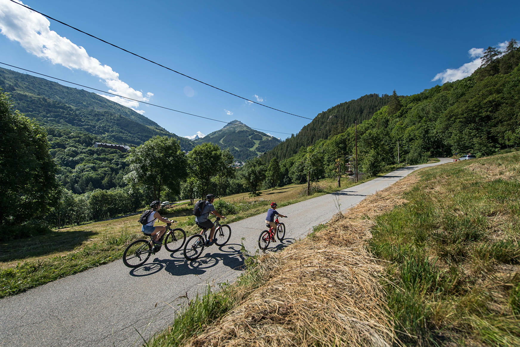
This small, easy, bucolic course is suitable for beginners and children. Take the opportunity to visit the hamlet of Villard and refresh yourself at its fountain. Possible variant: continue to Poingt Ravier
Sport 4 - Discovering the hamlet of Villard - VTTAE itinerary Valloire
About

Signs
The trail is signposted
Map references
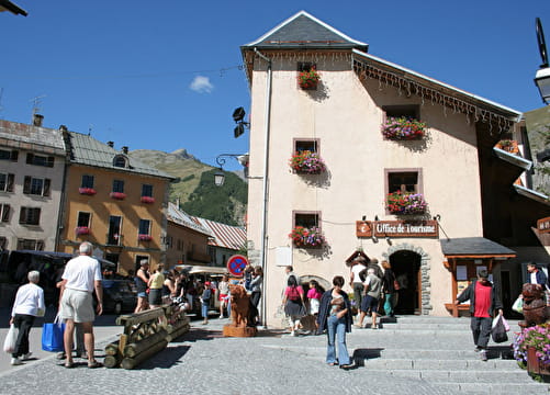
The VTTAE route map can be consulted at the tourist office. IGN map 3435ET VALLOIRE - Aiguilles d'Arves / Col du Galibier is on sale in Valloire shops.
Topoguides references
Valloire hiking and mountain biking map.
Further informations
Ground, Hard coating (tar, cement, flooring), Grit
Departure - From the tourist office, take rue des écoles 1 - Cross the bridge and pass the campsite 2 - Walk past the tennis courts and cemetery towards the hamlet of Villard 3 - Once you reach the hamlet of Villard, turn around. Option: continue up to the hamlet of Poingt Ravier for a 360° view of Valloire.
Precautions:
- The routes you take are your own responsibility. Choose an itinerary suited to your physical and technical abilities. If in doubt, don't hesitate to contact mountain professionals.
- Check weather conditions before setting off.
- Make sure you're properly equipped to hike safely and cope with the vagaries of the weather.
- Tell someone if you're going on your own, and make sure you leave in the morning so you don't get caught out at night.
Prices
Free access.
Reception
To keep the mountains a pleasure, choose an activity suited to your level of experience and physical ability. Check the weather forecast and seek advice from qualified professionals, and inform someone of your itinerary. Make sure you're properly equipped: helmets are compulsory, and we strongly advise you to wear kneepads, elbow pads, back protection and gloves. In your rucksack, take a water bottle and snacks to keep your energy levels up, and a survival blanket or warm clothing. Protect yourself from the sun with sunscreen and sunglasses. Don't forget binoculars to add a touch of observation to your adventure.
For your dog's safety, we do not recommend mountain biking.
Period of practice
From 17/04 to 23/10.
Subject to favorable weather.
Equipments
- Picnic area
- Car park
- Free car park