Starting from Beaune, take an easy, shady trail through forests and hamlets. Cross La Traversaz, with its chapel, mill and wash-house, then head for Le Thyl, where a short stroll through the cobbled streets will immerse you in the village life that animates this locality.
- Sport
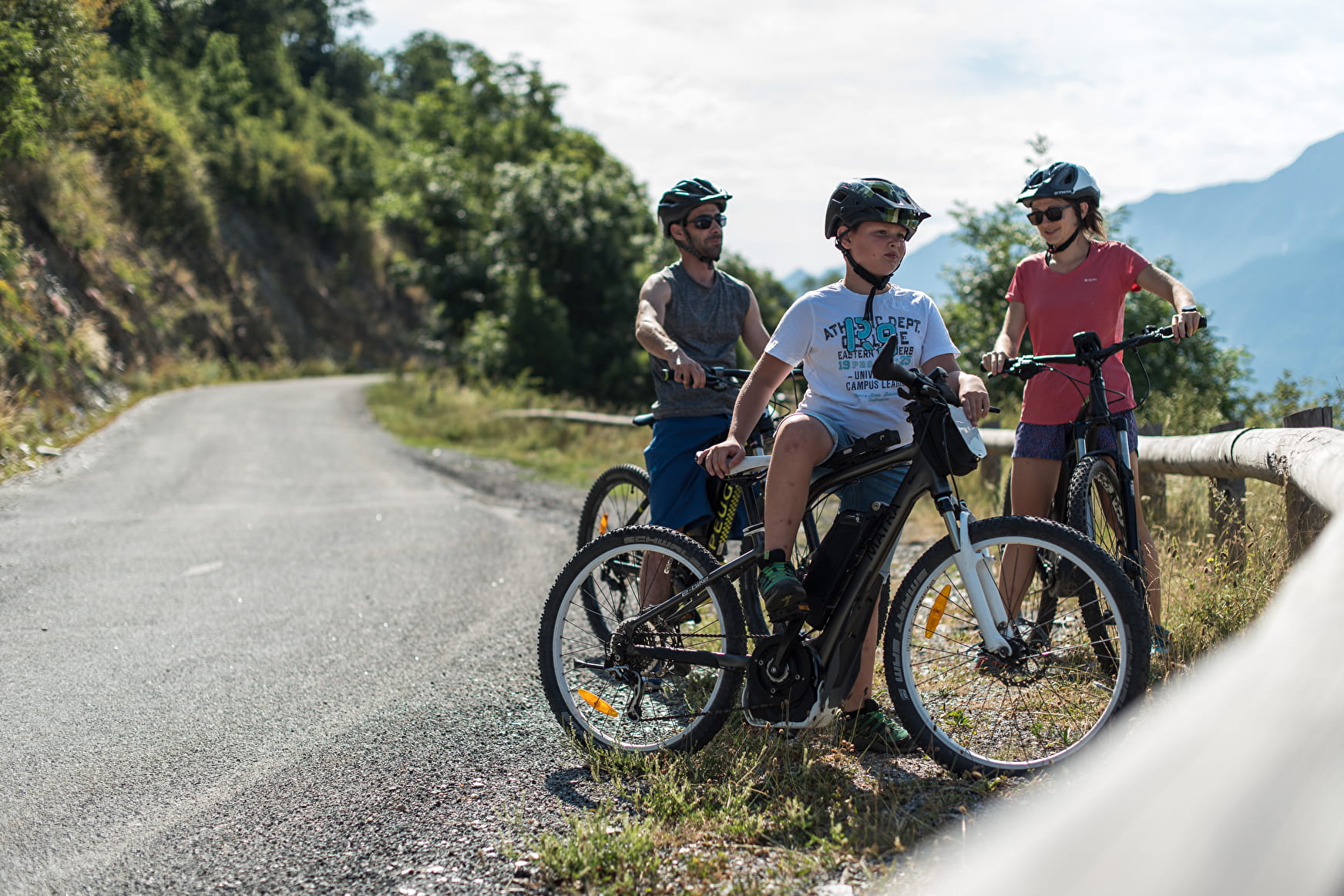
Beaune track on E-Mountain Bike
Not satisfied with the green loop? Extend your journey to the hamlet of Le Thyl and enjoy the charms of the villages you'll pass through.
Sport Beaune track on E-Mountain Bike Saint-Michel-de-Maurienne
About

Signs
Blue marking #36
Further informations
Rock, Ground, Grit
1 2


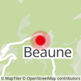
Start: Beaune Grand Village
1/ Cross the village in the direction of "Courteland", then follow the track to the road junction.
2/ Take the road to the right, then, as you leave the village of La Traversaz, take the road to the left towards Le Thyl.
3/ At the entrance to the hamlet, take the track on the left, then, after the first hairpin bend, turn left again on the track towards Beaune.
4/ At the road junction, turn right towards Col de Beau Plan, then back down to Beaune.
Prices
Free access.
Reception
Period of practice
All year round.
Subject to favorable snow and weather conditions.
Services
- Pets welcome
- Parking nearby
- Charging station for 2 electric wheels
- Free car park
- Car park