You'll start with a 900-metre elevation gain and the higher you climb, the steeper it gets! This will get your heart and legs working hard! Then you'll find yourself on the Alpine pastures of Bramanette where there's a mountain refuge of the same name. This is a magnificent spot at which to enjoy a well-deserved breather and enjoy the soothing scenery. For much of the descent you'll be on singletrack paths, some of which are technically challenging, that zigzag between the forest tracks. This itinerary is very much an all-rounder as it requires excellent physical fitness on the way up and technical mastery for the descent.
As a bonus, take the little detour to the chapel of Saint Pierre d'Extravache and soak up the lovely atmosphere that emanates from this site.
Departs from: Val Cenis Bramans
- Sport
Cross-country : Bramanette
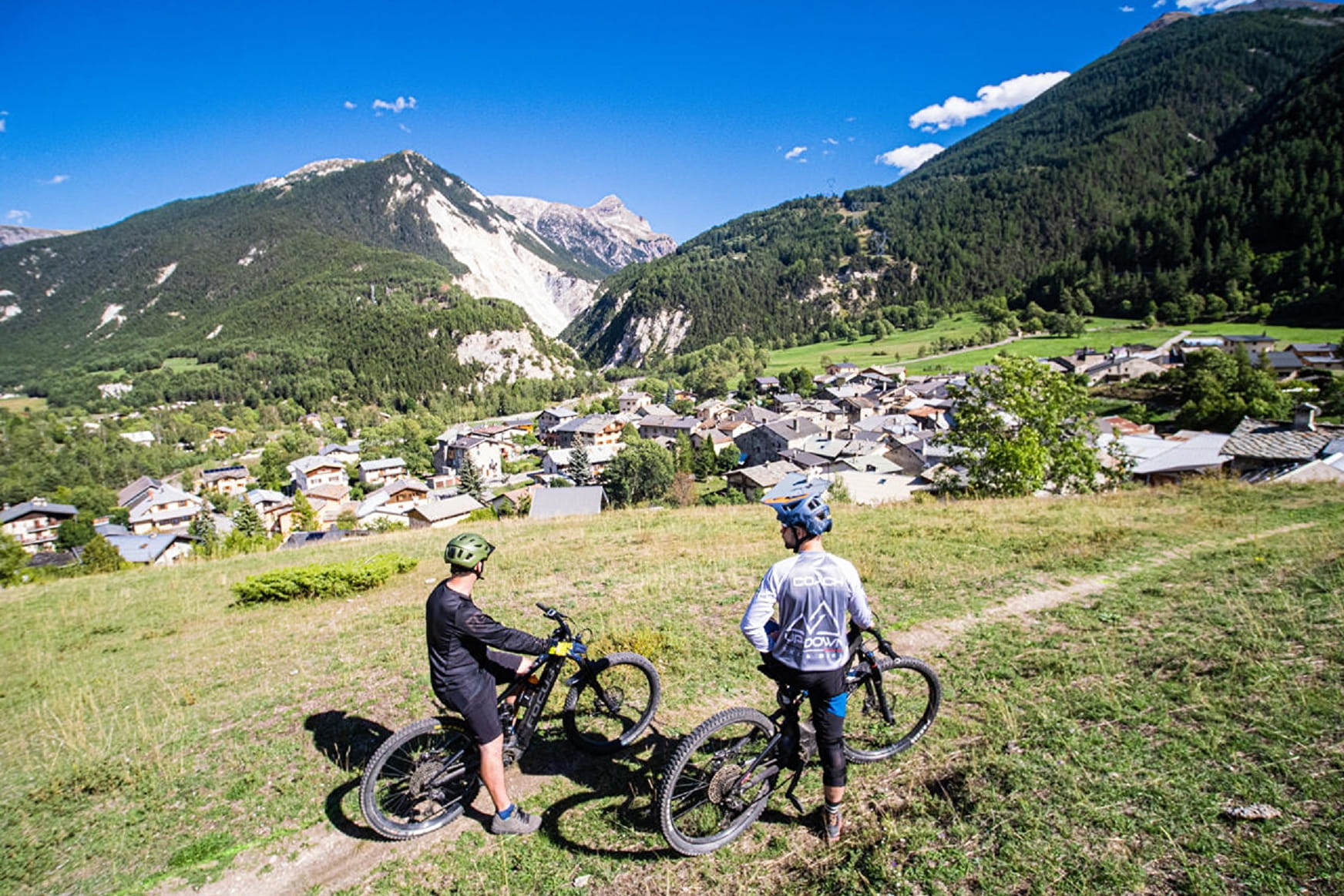
The name Bramanette may sound sweet enough but don't be fooled! The climb presents no technical difficulties but is physically challenging. Fortunately, you'll be rewarded with the superb Bramanette Alpine pastures and a singletrack descent that's just perfect!

About

Signs
French Cycling Federation markings (cross-country)
Difficult passages
The climb is clearly difficult even if it is essentially on the piste. There is no respite until the top with good steep sections that make the thighs warm and increase the heart rate! The descent on singletrack is playful and beautiful!
Topoguides references
Haute Maurienne Vanoise mountain bike map and booklet sold in Tourist Offices.
Further informations
Stone, Grit, Ground
Prices
Free access.
Reception
Period of practice
From 15/06 to 01/10.
Subject to favorable snow and weather conditions.
- Pets welcome
- Parking nearby
Contacts
Access
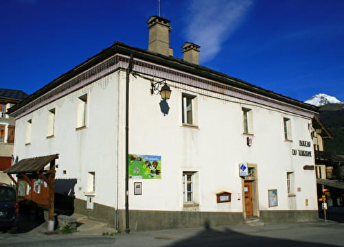
The trail starts at the Bramans Tourist Office.
I'll get there by bus: Line S53 - Les Glières stop (in summer, bus equipped with a bicycle trailer - ask about days and times).
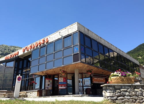
By car: park in the parking lot near the tourist office.