The trail takes you first over a succession of bumps to Sardières via Sollières and Termignon. From there you'll follow an exquisite singletrack balcony path from where you can enjoy the view of an authentic geological curiosity, the Sardières monolith. The return is mainly through a beautiful forest of mountain pines. There are 3 descent options to match your level of fitness and technique: 1 - a wide track that takes you to Bramans without too much technical difficulty. 2 - halfway down, a techncial variant of level red with a succession of hairpin bends, some of which are pretty tight. 3 - the most adventurous among you can take the steep black variant at the start of the descent which joins up with the red variant further down. This beautifully varied trail makes great MTB terrain. Make the most of it!
- Sport
Cross-country : Le Grand Cerf
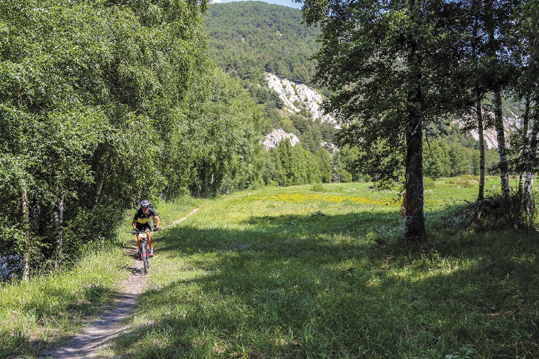
The ascent requires leg power to constantly regain momentum, but you then get to enjoy descending one of the sector's most picturesque singletrack paths. This Haute Maurienne Vanoise cross-country trail has all the right features.
About

Signs
French Cycling Federation markings (cross-country)
Difficult passages
Technical difficulty: Apart from the technical variant this route does not present much difficulty. The variant on the other hand adds a little spice to the route with steep passages and tight hairpin bends. A treat for fans of this type of route! The descent after the Hameau du Châtel can present some difficulties over 50m. Physical difficulty: The climb between Sollières and Sardières is long and sometimes steep. But if you have the will, it will not be a problem.
Topoguides references
Haute Maurienne Vanoise mountain bike map and booklet sold in Tourist Offices.
Further informations
Stone, Ground, Grit
Prices
Free access.
Period of practice
From 01/05 to 01/11.
Subject to favorable snow and weather conditions.
- Parking nearby
Contacts
Access
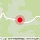
The route starts at Aussois Plan de la Croix (Aussois exit towards Sardières).
I'll get there by bus: Line S52 - Le Centre stop (in summer, the bus is equipped with a bicycle trailer - ask about days and times).
By car: park in the Plan de la Croix parking lot. In summer, you can take bus line S52 (Modane - Aussois - Val Cenis) and get off at "Le Centre"; bus equipped with bicycle trailer every day except Saturday.
Alternative departure from :
+ Val Cenis Sardières - Eglises
I go by bus: Line S52 - Eglise stop
+ Val Cenis Sollières - Les Favières
By bus: Line S52 or S53 - Les Favières stop
+ Val Cenis Bramans
By bus: Line S53 - Les Glières stop
+ Val Cenis Termignon - Maison de la Vanoise
By bus: Line S52 or S53 - Maison de la Vanoise / Mairie stop.