This is a very accessible blue itinerary mainly following forest paths. The first track leads to the monolith and includes a slightly technical uphill section where you may have to walk for a few metres. But you'll have fun on the superb trail waiting for you at the top!
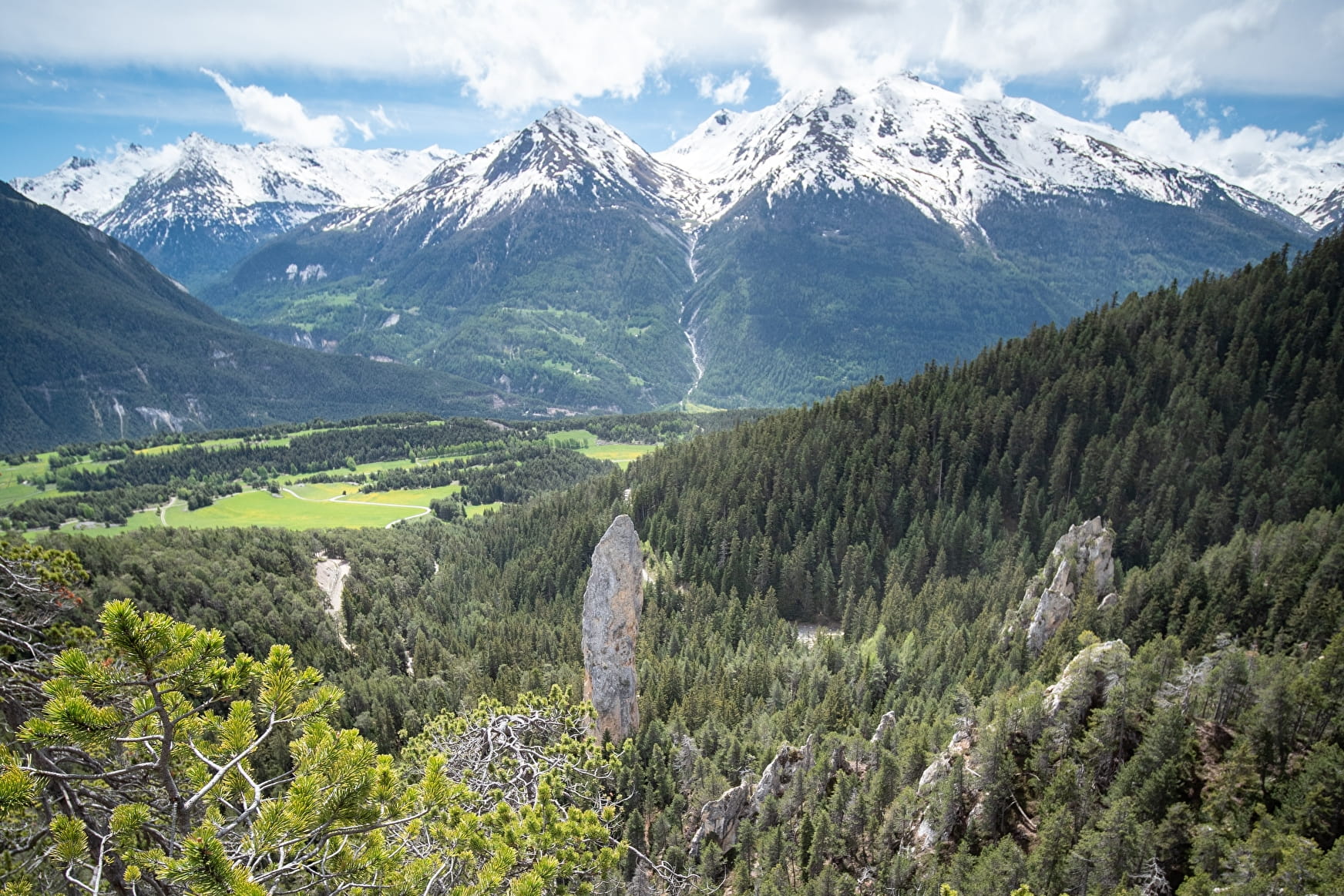
The monolith is a fairly straight, vertical structure of cargneule rock rising to 93 metres above the ground. The dolomitic limestone formation is dense and hard enough to have resisted the erosion that has affected the rest of the site, cleaning it of the other, less robust rock that once surrounded the monolith.
- Sport
Cross-country : Le Monolithe
Despite being listed as physically challenging, this itinerary is suitable for intermediate mountain bikers. The paths present no real technical difficulty and you can stop at the Monolithe to get your breath back.
Sport Cross-country : Le Monolithe Aussois
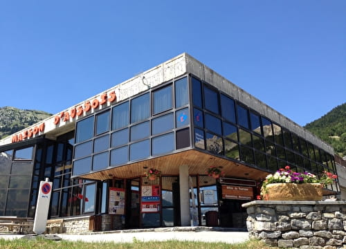
About

Signs
French Cycling Federation markings (cross-country)
Topoguides references
Haute Maurienne Vanoise mountain bike map and booklet sold for €4 at Haute Maurienne Vanoise Tourist Offices.
Further informations
Ground
Prices
Free access.
Period of practice
From 01/05 to 01/11.
Subject to favorable snow and weather conditions.
Equipments
- Parking nearby
Contacts
Access
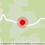
The trail starts at the Plan de la Croix exit from Aussois, in the Sardières direction.
I'll get there by bus: line S52 - stop Le Centre (in summer, bus equipped with bike trailer - ask about days and times).
To get there by bus: Park in the Aussois Plan de la Croix parking lot.
Alternative departure point: Val Cenis Sardièress, at the crossroads of the road leading to the Monolithe de Sardières.