The long steady climb should be taken at a moderate, regular pace to reach the top without too much difficulty.
The ride down to Val Cenis Termignon is not technically challenging and the return to Val Cenis Lanslebourg is via the Chemin du Petit Bonheur. But first, stop at the top to admire the view over the Valley and the Vanoise mountains.
- Sport
Cross-country: Le Replat des Canons
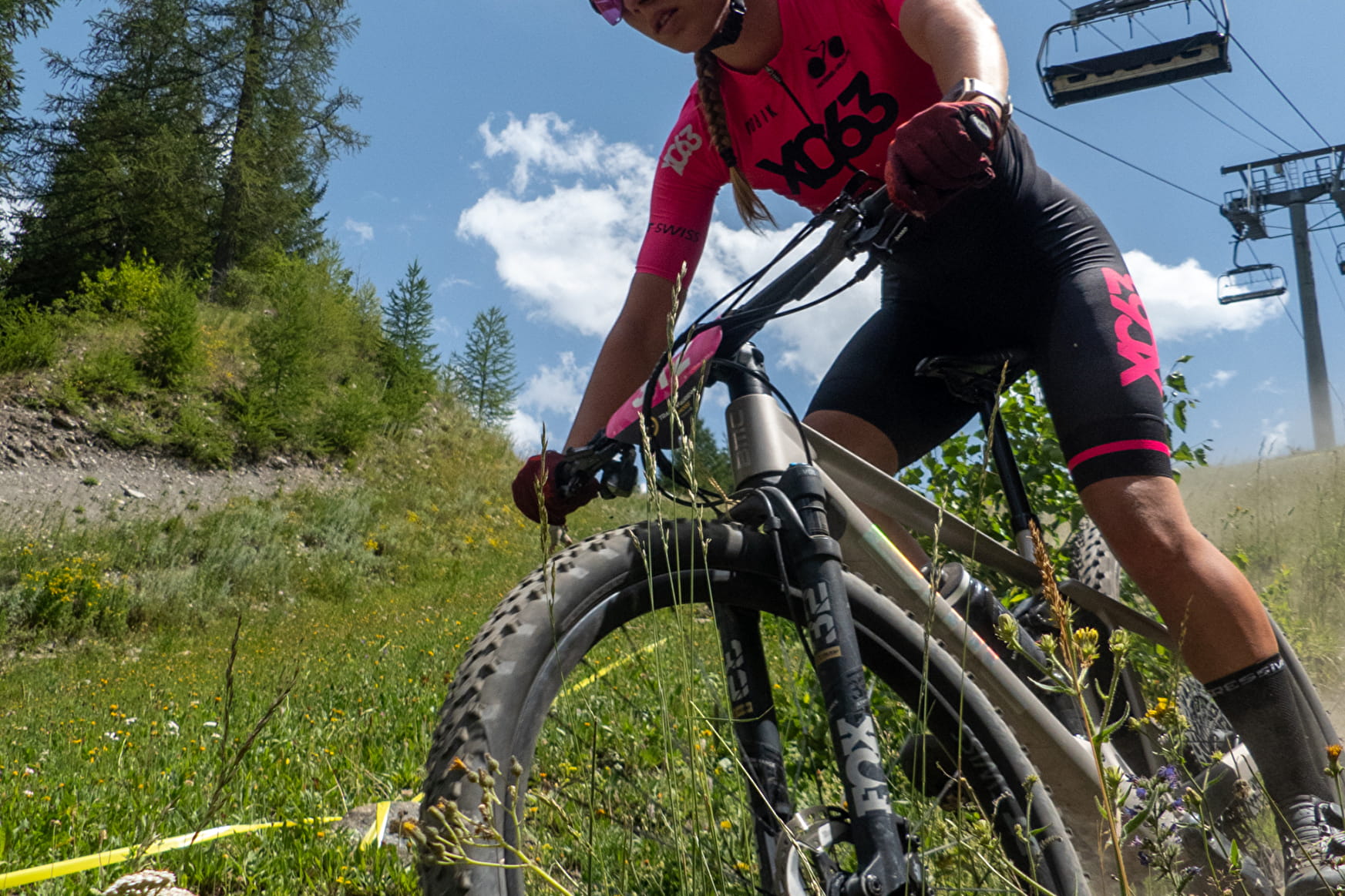
A beautiful loop itinerary, mostly on very pleasant tracks in the forests of Lanslebourg and Termignon. A great option in very hot weather.
Sport Cross-country: Le Replat des Canons Val-Cenis
About

Signs
French Cycling Federation markings (cross-country)
Difficult passages
The course has several long climbs with some steep sections. A good warm up for the black courses!
Topoguides references
Haute Maurienne Vanoise mountain bike map and booklet sold for €4 at Haute Maurienne Vanoise Tourist Offices.
Further informations
Stone, Ground, Grit
Prices
Free access.
Period of practice
From 15/05 to 15/10.
Subject to favorable snow and weather conditions.
Equipments
- Parking nearby
- Charging station for 2 electric wheels
- Charging stations for electric vehicles
Contacts
Access
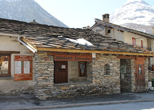
The route starts in front of the Lanslebourg Tourist Office.
To get there by bus: Line S52 or S53 - Tourist Office stop (in summer, the bus is equipped with a bicycle trailer - ask about days and times).
By car: park in the parking lot in front of the gendarmerie. There is a vehicle recharging point on the side of the Lanslebourg Tourist Office building.