The path climbs with a 400-metre elevation gain up to Arponts plateau which offers a superb view: Mont Cenis and the Italian border opposite and, on your right (as you reach the plateau), some of the highest Vanoise peaks, including Dent Parrachée, and a bird's-eye view of the village of Aussois. Definitely worth the climb, and now it's downhill all the way, following a section of the Evita-Carnéa Enduro trail back down to Aussois.
- Sport
Cross-country : Les Balmes
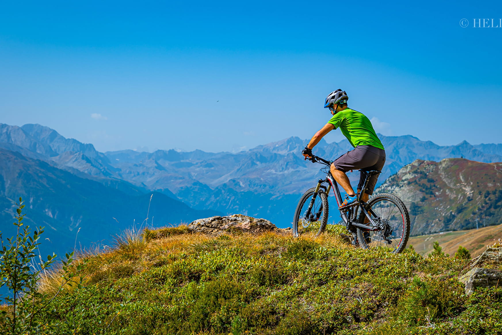
A cross-country trail in Haute Maurienne Vanoise-style with a regular climb, great views and a lovely singletrack descent.
Sport Cross-country : Les Balmes Aussois
About

Signs
French Cycling Federation markings (cross-country)
Topoguides references
Haute Maurienne Vanoise mountain bike map and booklet sold in Tourist Offices.
Further informations
Ground
Prices
Free access.
Reception
Period of practice
From 01/05 to 01/11.
Subject to favorable snow and weather conditions.
Services
- Pets welcome
- Parking nearby
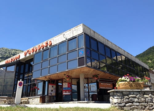
Contacts
Access
Departure point: on leaving Aussois in the direction of Sardières, stop at Plan de la Croix.
I go by bus: Line S52 - stop Le Centre (bus equipped with a trailer in summer - ask about days and times).
By car: park in the Aussois Plan de la Croix parking lot (on leaving Aussois towards Sardières).
Also possible from Sardières: park at the church parking lot or get off at the Eglise stop on the S52 bus line.