You simply go to Lanslevillard and back, on very pleasant tracks where you'll encounter no difficulty and can enjoy views over both sides of the valley.
- Sport
Cross-country : Les Champs
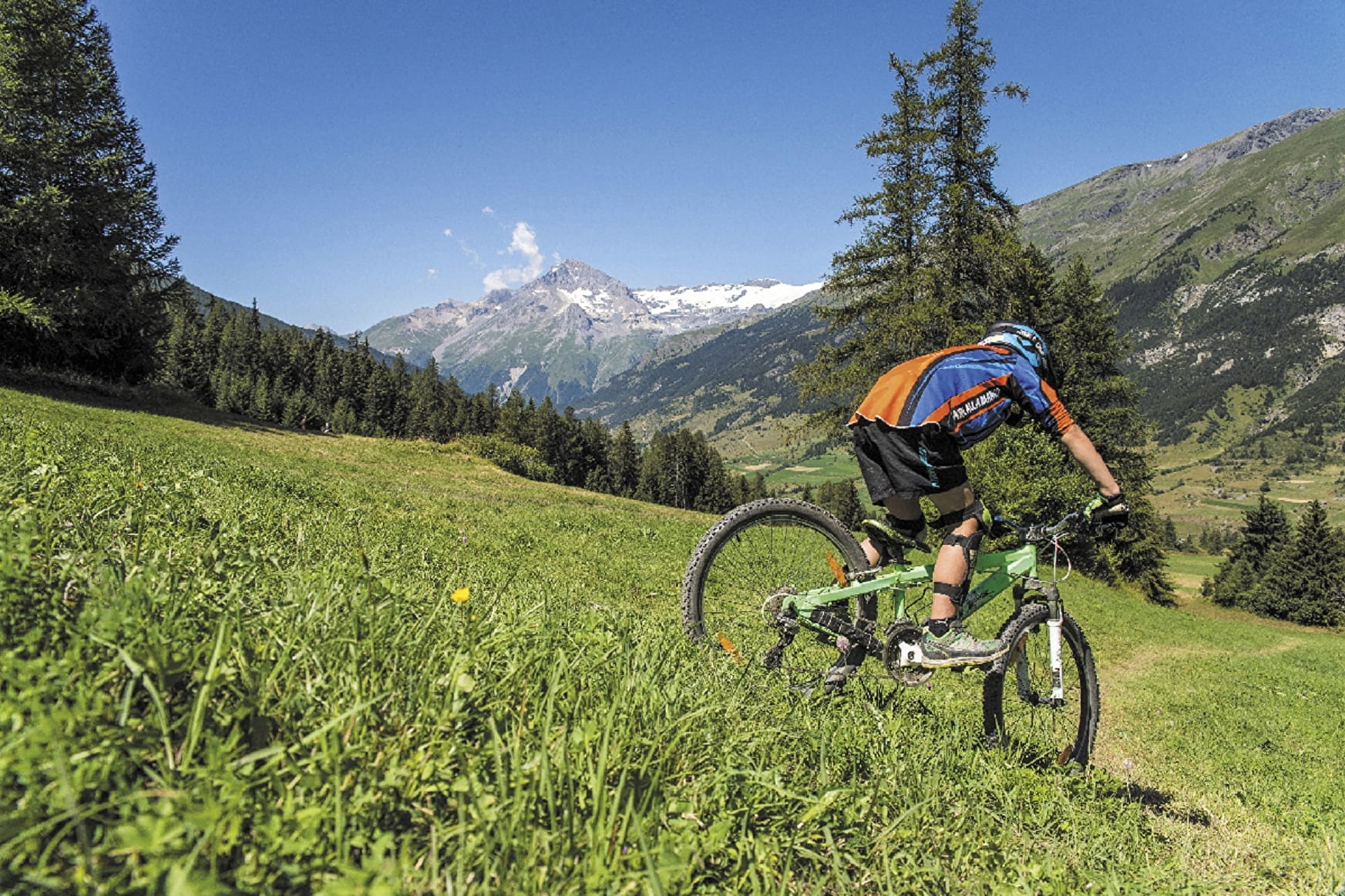
The track up to Lanslevillard is a gentle climb and the return descent poses no problems.
Sport Cross-country : Les Champs Val-Cenis
About

Signs
French Cycling Federation markings (cross-country)
Difficult passages
A slightly steep climb over a few hundred metres on a tarmac road.
Topoguides references
Haute Maurienne Vanoise mountain bike map and booklet sold in Tourist Offices.
Further informations
Stone, Grit, Ground
Prices
Free access.
Reception
Period of practice
From 01/05 to 01/11.
Subject to favorable snow and weather conditions.
Services
- Pets welcome
- Parking nearby
- Charging station for 2 electric wheels
- Public WC
- Charging stations for electric vehicles
Contacts
Access
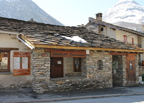
The trail starts at the Lanslebourg Tourist Office.
I'll get there by bus: Line 52 or S53 - Tourist Office stop (in summer, bus equipped with a bicycle trailer - ask about days and times).
By car: park in the Gendarmerie parking lot next to the Tourist Office.