The ride to Sollières is easy and mostly downhill, but the return trip will get the leg muscles working hard as you climb the pleasant forest track. The final descent to Termignon presents no technical difficulty. But first, take the time to admire the panoramic view over the valley and Vanoise mountains and the picturesque scenery from the Balmes cave lookout point.
- Sport
Cross-country: Les Tannes
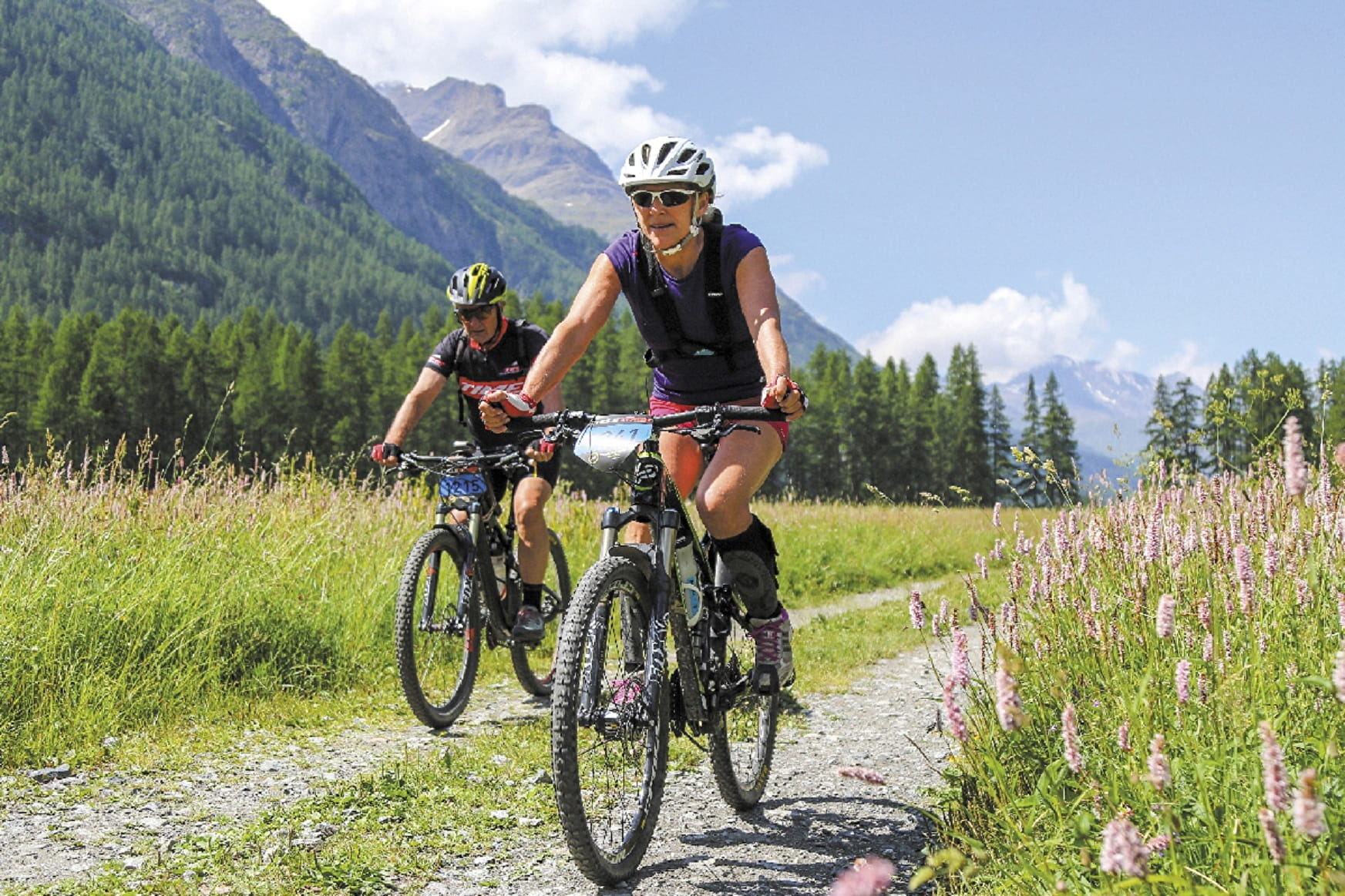
No real difficulty, although the return trip to Termignon is a little challenging on the legs. Take your time, set a steady pace and enjoy a rest at the panoramic viewpoint near the Balmes cave.
Sport Cross-country: Les Tannes Val-Cenis
About

Signs
French Cycling Federation markings (cross-country)
Topoguides references
Haute Maurienne Vanoise mountain bike map and booklet sold in Tourist Offices.
Further informations
Stone, Ground, Grit
Prices
Free access.
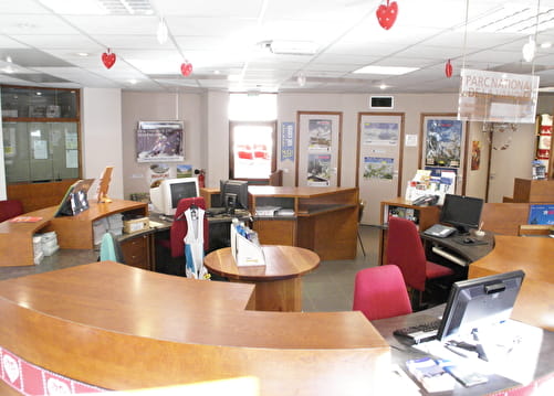
Reception
Period of practice
From 01/05 to 15/10.
Subject to favorable snow and weather conditions.
Services
- Pets welcome
- Parking nearby
- Charging stations for electric vehicles
Contacts
Access
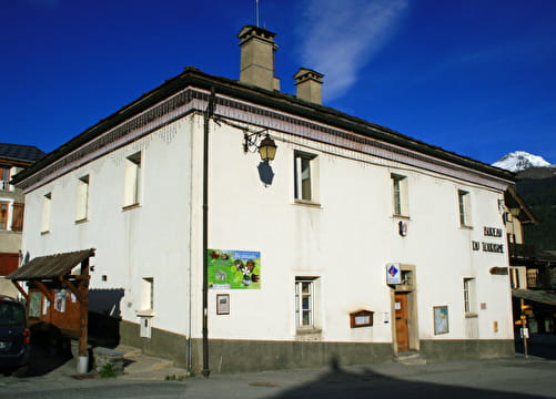
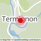
The trail starts at the Termignon tourist office.
To get there by bus: Line S53 or S52 - Maison de la Vanoise / Mairie stop (in summer, the bus is equipped with a bicycle trailer - ask about days and times).
By car: park in the parking lot in front of the Tourist Office (there's a charging point for electric vehicles).
Departure is also possible from Sollières l'Envers (campsite): "Les Favières" stop on line S53.