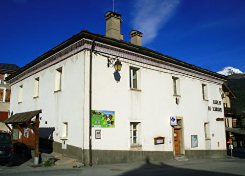
You'll begin on a picturesque downhill path to the edge of Modane before following the River Arc as far as Avrieux. Once past the village of Villarodin, a steeper uphill path then takes you to a mountainside forest track which leads back to La Norma. This pleasant itinerary presents no major difficulty and is ideal to start on before taking to the more challenging trails. You'll cross two villages of Haute Maurienne Vanoise and admire their Baroque churches and typical ancient streets.
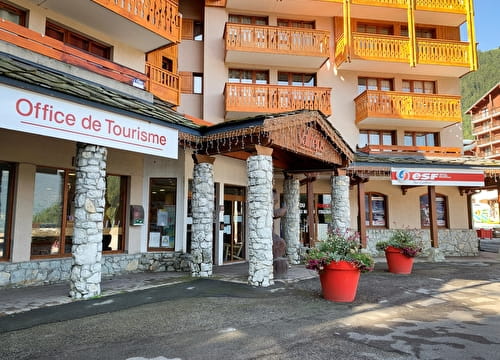
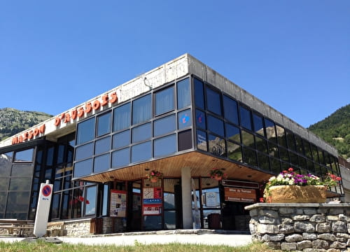
Departs from: La Norma Tourist Office
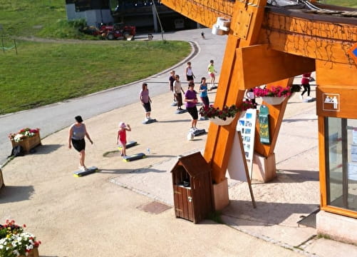
- Sport
Cross-country : Les villages

This loop itinerary explores the entire vicinity of La Norma, passing through Modane, Le Bourget, Avrieux and Villarodin. You'll see ancient streets, Baroque churches, a brewery and a washhouse.
Sport Cross-country : Les villages La Norma
About

Signs
French Cycling Federation markings (cross-country)
Topoguides references
Haute Maurienne Vanoise mountain bike map and booklet sold for €4 in Tourist Offices.
Prices
Free access.
Reception
Period of practice
From 01/05 to 01/11.
Subject to favorable snow and weather conditions.
Services
- Pets welcome
- Parking nearby
- Public WC
Contacts
Access
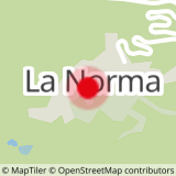
The route starts at the La Norma Tourist Office.
By car: park in the parking lot to the right of the traffic circle at the entrance to La Norma.