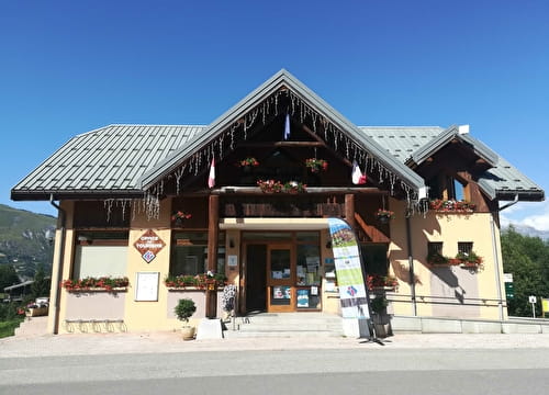
This route from Place Opinel offers a surprising diversity of landscapes. You'll start off with a series of small singles in the mountain pastures, before plunging into the forest on a more technical but high-quality trail. These trails are maintained by volunteers with care and passion. Whether you're a beginner or an enduro mountain biker, you're sure to find what you're looking for! Test it out and let us know what you think!
- Sport
Enduro itinerary - Paroux
Paroux is a descent that mixes short singles in the mountain pastures with more technical forest passages. This is a moderate-level route. It's perfect for improving your technique, or for those who like to go fast!
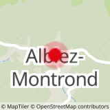
Sport Enduro itinerary - Paroux Albiez-Montrond
About

Signs
At the start, you'll find numbered signposts all along the route, in the color of the route's difficulty.
Map references
Map of the Albiez Enduro Park. Available free of charge from the valley's tourist offices.
Topoguides references
Map of the Albiez Enduro Park. Available free of charge from the valley's tourist offices.
Further informations
Stone, Ground
Prices
Free access.
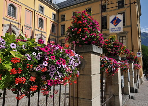
Reception
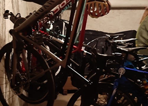
- To ride this route in complete safety, you'll need a suitable enduro mountain bike, helmet and gloves.
- This itinerary is also used by hikers, so please be vigilant and courteous with them.
Period of practice
All year round.
Subject to favorable weather.
Equipments
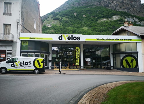
- Parking nearby