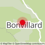
This black route is a variant of the Tilleret. It is taken from the hamlet of Bonvillard. This route is a real hidden treasure of the area. It's steep with technical mountain sections. You'll find several passages with roots and bends that have remained natural. In short, you'll need to have great control over your bike, and be prepared to let go of the brakes despite the steepness of some sections.
After a few pedal strokes, you'll be back on the Tilleret itinerary to finish your descent in style.
Test it out and let us know what you think!
- Sport
Enduro route - Verney
Verney is a hidden route that can be taken from the hamlet of Bonvillard. The steep, technical sections make some passages hazardous when the trail is greasy. Mastery and letting go are the watchwords of this itinerary.
Sport Enduro route - Verney Albiez-Montrond
About

Signs
At the start, you'll find numbered signposts all along the route, in the color of the route's difficulty.
Difficult passages
This route requires you to cross two streams at the start and finish of the trail. Beware of farmers' wires, which may be in place as you descend.
Map references
Map of the Albiez Enduro Park. Available free of charge from the valley's tourist offices.
Topoguides references
Map of the Albiez Enduro Park. Available free of charge from the valley's tourist offices.
Further informations
Stone, Ground
Prices
Free access.
Reception
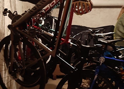
- To ride this itinerary in complete safety, you'll need a suitable enduro mountain bike, a helmet and suitable gloves.
- This itinerary is also used by hikers, so please be vigilant and courteous with them.
Period of practice
All year round.
Subject to favorable weather.
Equipments
- Parking nearby