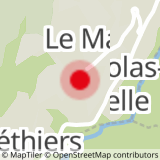
Start at the church in St Nicolas la Chapelle, taking the Route des Avenières and cycling through Les Combes, Marcinelle, Le Plan, La Char, Les Monts before going towards the Tête des Avenières. Cycle back down towards Les Rochats and then continue towards Le Passieu, before heading to the hamlet of St Nicolas la Chapelle.
- Sport
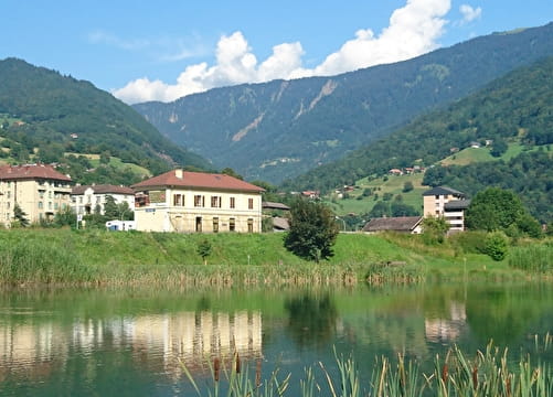
Les Avenières - FFC n°61
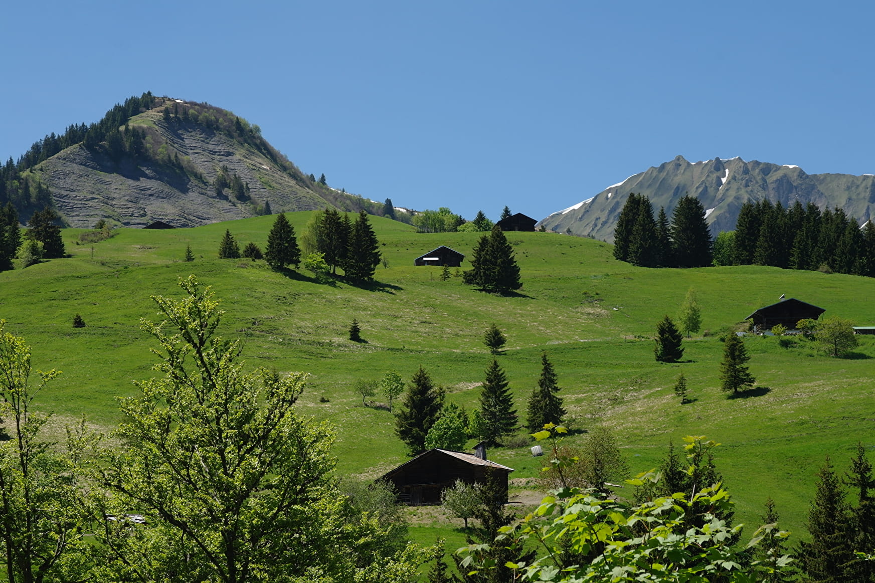
From Les Avenières you will be able to enjoy one of the most beautiful panoramic views in the area, with stunning viewpoints over Mont Blanc, the Aravis and the Beaufortain.
Sport Les Avenières - FFC n°61 Saint-Nicolas-la-Chapelle
About

1 2


Prices
Free of charge. Map of trails in sale at the Tourist Office at 2,50 €.
Methods of payment accepted : Cash
Period of practice
From 01/06 to 01/10.